
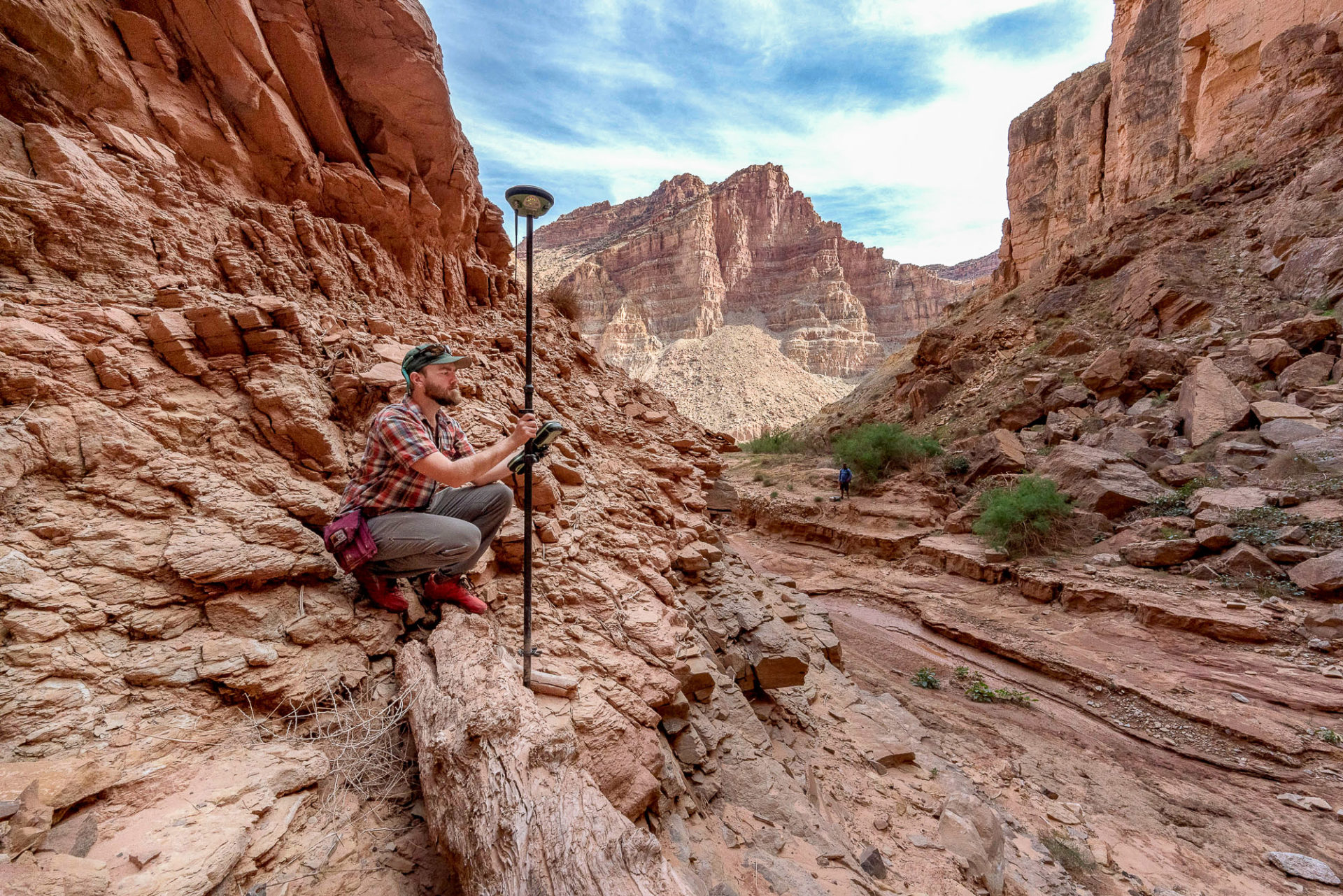
Recording GPS location and elevation data as part of documenting sediment layers near Lake Powell
By Communications and Publishing
October 2020 (approx.)

Detailed Description
USGS hydrologist Casey Root records GPS location and elevation data as part of documenting sediment layers near Lake Powell, Utah. This stratigraphy project is a collaborative effort between University of Utah, USGS, and Utah State University.
Sources/Usage
Copyrighted photograph by Francisco Kjolseth and The Salt Lake Tribune. No other use permitted.