
Red River Flood 1950
By Dakota Water Science Center
1950 (approx.)

Detailed Description
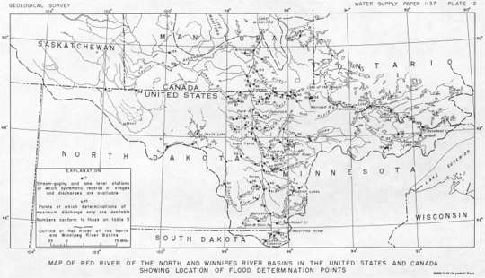
PDF File - Map of Red River of the North and Winnipeg River basins in the United States and Canada showing location of flood determination points. USGS Water Supply Paper 1137-B Plate 12