
Remotely-sensed lake ice extent polygons from WaterMAP

Detailed Description
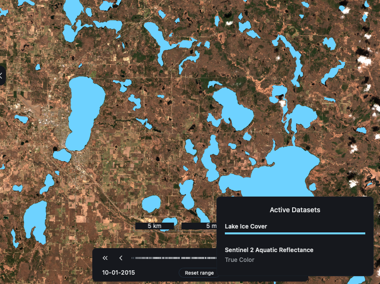
Lake ice polygons overlaid on satellite imagery from late winter in Minnesota. Screenshot from WaterMAP.
The Global Lake area, Climate, and Population (GLCP) dataset contains annual lake surface area for 1.42 million lakes with paired annual basin-level climate and population data (https://doi.org/10.6073/pasta/e0bf4571ca6cbfb81c3ed7caefc85fc6).
Sources/Usage
Public Domain.
Related
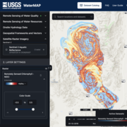
WaterMAP: Water Monitoring Above the Planet
WaterMAP, or Water Monitoring Above the Planet, is an interactive web application that brings together surface water observations across the U.S. The application allows users to explore water conditions over time using both remotely sensed satellite and field measured data.
Related
WaterMAP: Water Monitoring Above the Planet
WaterMAP, or Water Monitoring Above the Planet, is an interactive web application that brings together surface water observations across the U.S. The application allows users to explore water conditions over time using both remotely sensed satellite and field measured data.