
Rice fields surveyed in northern Central Valley, California
By Western Ecological Research Center (WERC)
June 2025 (approx.)

Detailed Description
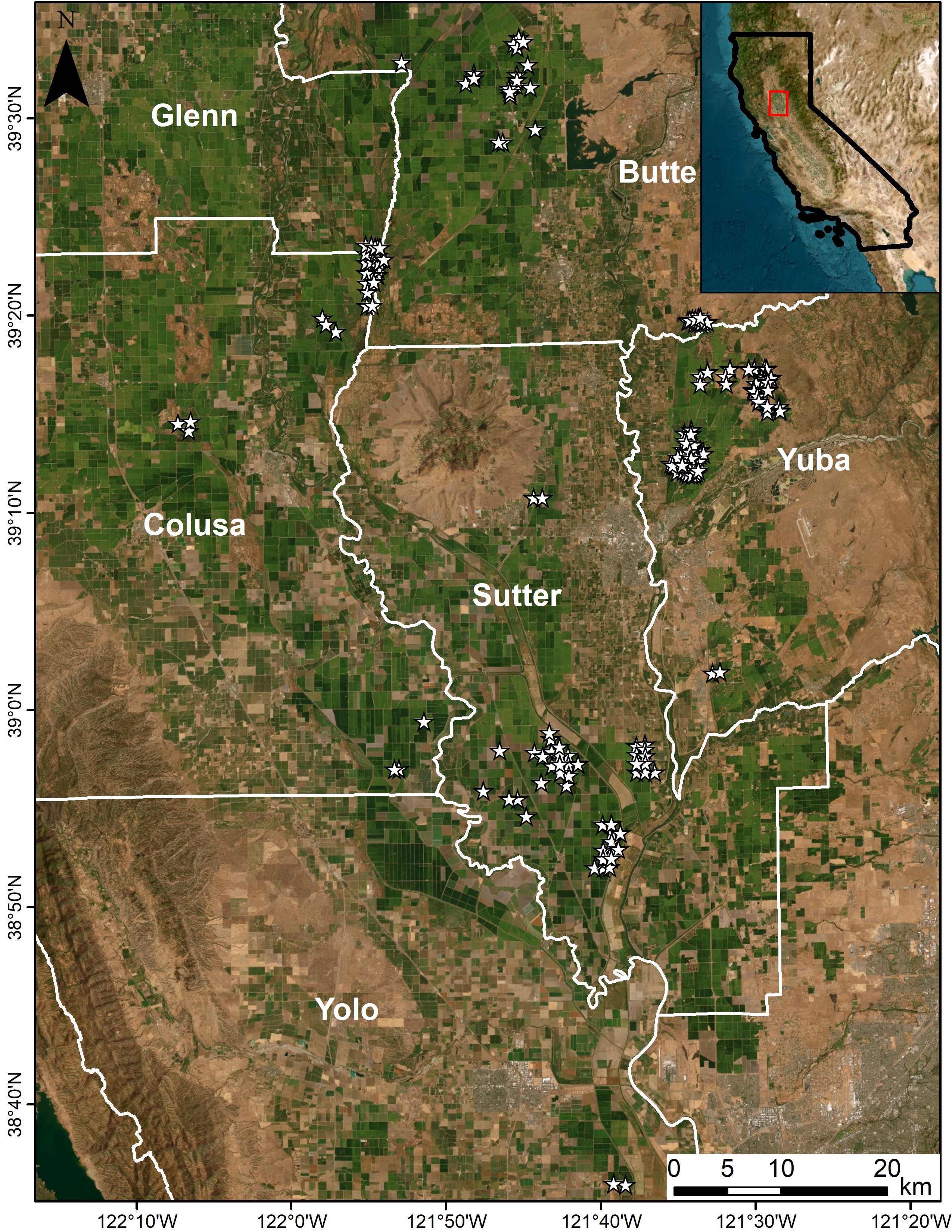
Locations of rice fields (stars) surveyed for waterbird use within the Sacramento Valley, California during the winters of 2021-2022 and 2022-2023. Counties are labeled in white. The inset map outlines California in black and delineates the main map in red. Background imagery source: ESRI, Maxar, GeoEye, Earthstar Geographics, CNES/Airbus DS, USDA, USGS, AeroGRID, IGN, and the GIS User Community.
Sources/Usage
Public Domain.