
Salem and Marblehead, Massachusetts

Detailed Description
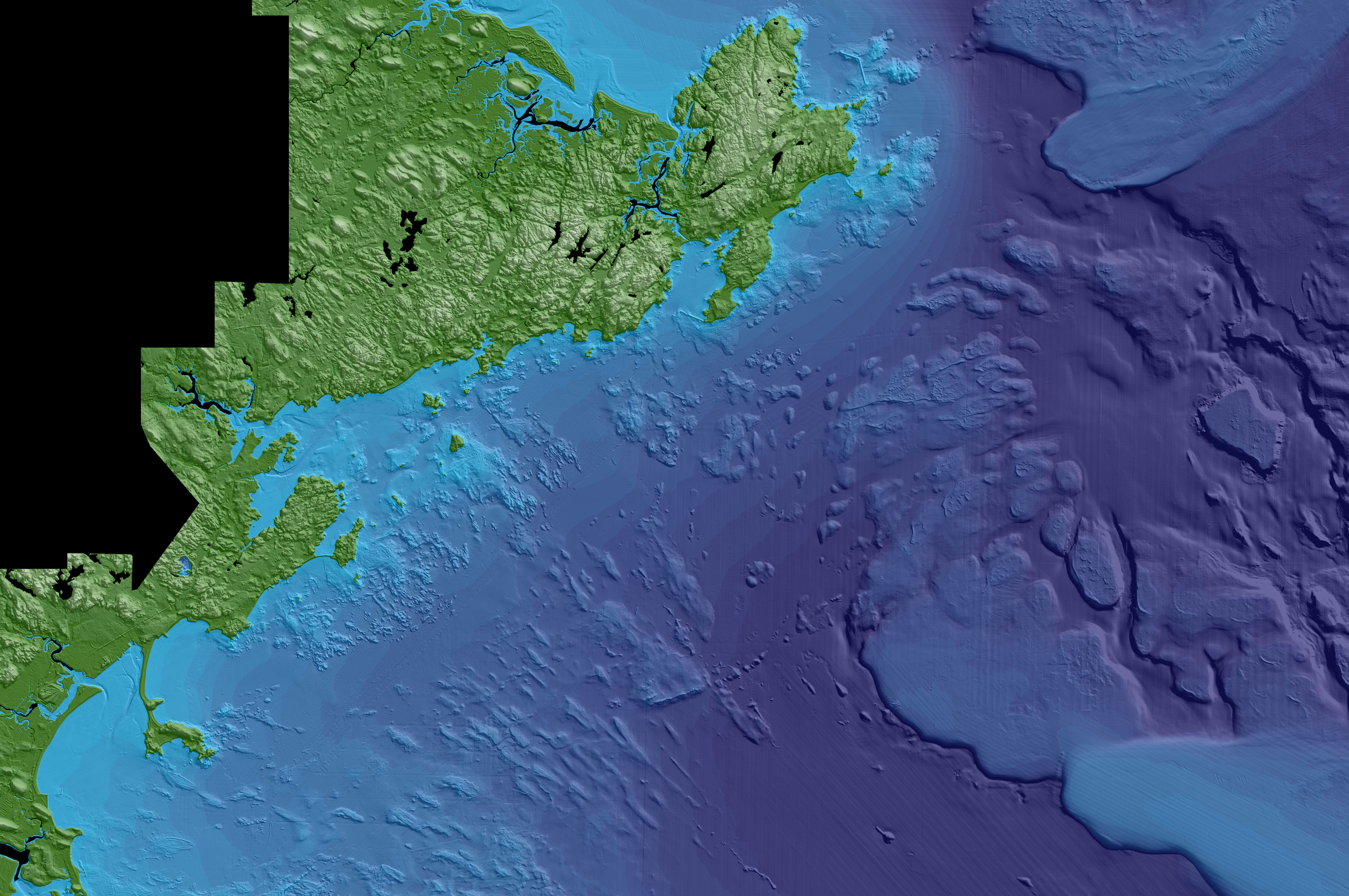
This image created using the Continuous Bathymetry and Elevation Models of the Massachusetts Coastal Zone and Continental Shelf, shows Salem and Marblehead in the middle of the image and Rocky Neck in the upper middle.
Sources/Usage
Public Domain.
Data Release
Andrews, B.D., Baldwin, W.E., Sampson, D.W., and Schwab, W.C., 2018, Continuous bathymetry and elevation models of the Massachusetts coastal zone and continental shelf (ver. 3.0, December 2019): U.S. Geological Survey data release, https://doi.org/10.5066/F72806T7.