
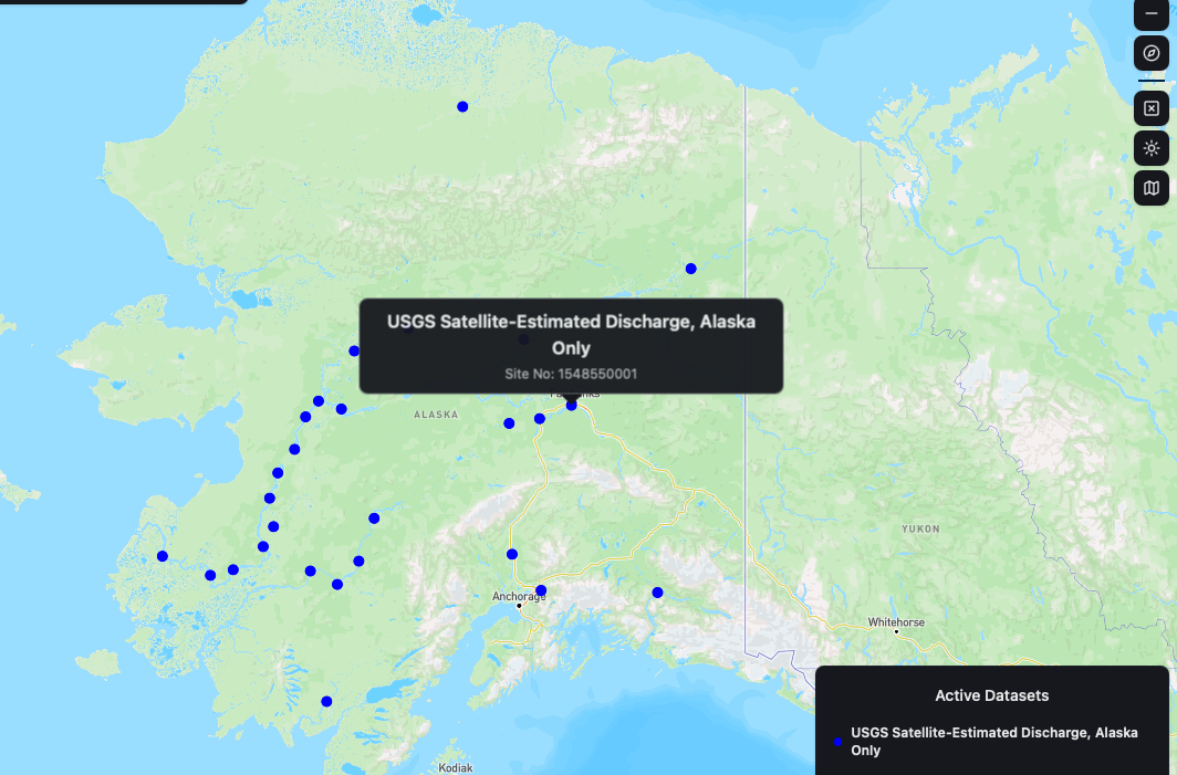
Satellite-estimated discharge sites in Alaska from WaterMAP
Detailed Description
Satellite-estimated discharge sites in Alaska. Screenshot from WaterMAP.
This dataset provides estimated Remote Sensing Streamflow (RSQ) data at selected river reaches in Alaska. Reach-specific relations between satellite-derived water-surface elevation data and dynamic surface water extent data were used with a modified form of the Manning's streamflow equation to estimate streamflows. The streamflow estimates were used to create rating tables that define the relation between discharge and satellite-observed water-surface elevation. The streamflow estimates are derived from these rating tables, interpolated using a polynomial regression equation.
Sources/Usage
Public Domain.
Related
WaterMAP: Water Monitoring Above the Planet
WaterMAP, or Water Monitoring Above the Planet, is an interactive web application that brings together surface water observations across the U.S. The application allows users to explore water conditions over time using both remotely sensed satellite and field measured data.