
The Skookum Creek Campground Point in the TNMCorps Map Editor

Detailed Description
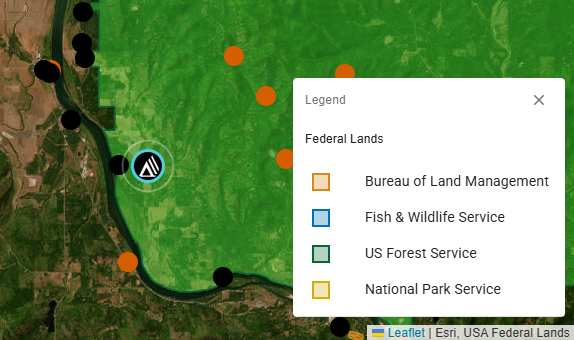
The USA Federal Lands layer in the TNMCorps map editor shows the Skookum Creek Campground point surrounded by US Forest Service land. This layer is used to make the spatial selection of recreation points falling within federal lands so they can be tagged as restricted.
Sources/Usage
Public Domain.