
Unrestricted Structures in Restricted Areas
We previously addressed the issue of recreation points in restricted areas that are not properly tagged as restricted, making them editable by volunteers (which they shouldn’t be). But what if you need to create a non-federal recreation feature that happens to fall within a restricted area?
We recently heard from a volunteer inquiring about how to create a point to represent the Skookum Creek Campground in Washington state because they were getting a warning that they didn't have permission to create a recreational feature in a restricted area.
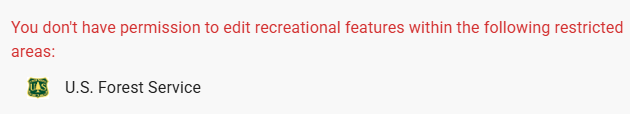
But this campground is located in the Little Pend Oreille State Forest managed by the Washington Department of Natural Resources. It is not run by a federal land agency nor is it located on federal lands. So why couldn’t they create a point to represent this campground?
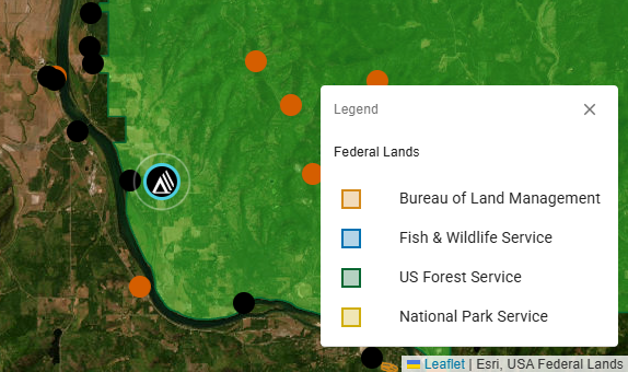
Well, the warning popped up because although this particular campground happens to be located on a small tract of land managed by the Washington Department of Natural Resources, it is surrounded by a large swath of national forest land. The USA Federal Lands overlay layer used in the TNMCorps map editor does not account for DNR managed lands; it is too generalized. Therefore, the system prevented this volunteer from creating a point for the Skookum Creek Campground at the correct location because it technically falls within one of the polygons marking national forest land. The USA Federal Lands layer is used to make the spatial selection of recreation points falling within federal lands so they can be tagged as restricted.
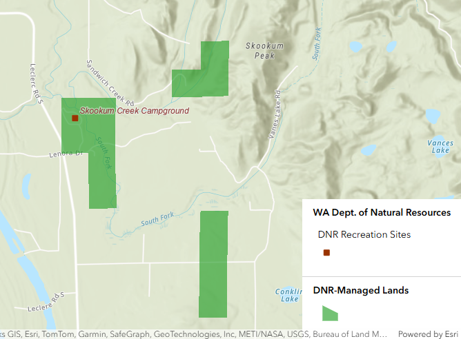
The USA Federal Lands layer used to query out federal recreation points in the TNMCorps editor does not exclude the polygons representing Washington DNR lands and thus prevented this volunteer from successfully creating a viable campground point on state managed land. After researching the Skookum Creek Campground to ensure this was a feature we could collect, we created the point.
This shouldn’t be a very common issue, but if you stumble on a similar situation, the best workaround at the moment for adding non-federally managed recreation features that fall within federally managed lands (i.e., restricted areas), is to let us know that one of these features should be added to the map, and we will do it on our end.
Related
The National Map Corps January 2026 Newsletter - Vol. 12 | Issue 1 The National Map Corps January 2026 Newsletter - Vol. 12 | Issue 1
Related