



Streamflow in the Owyhee Canyonlands Wilderness

Detailed Description
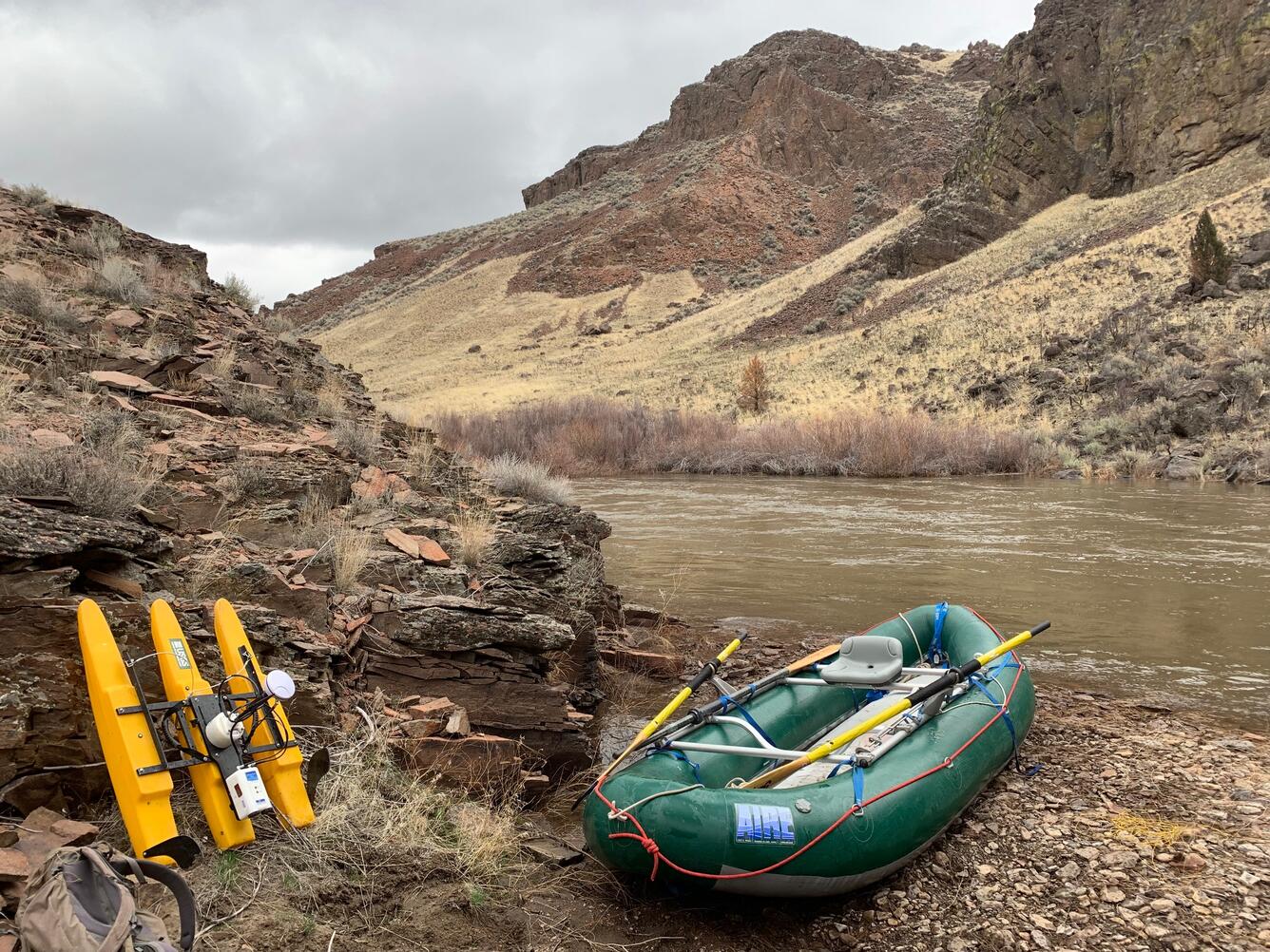
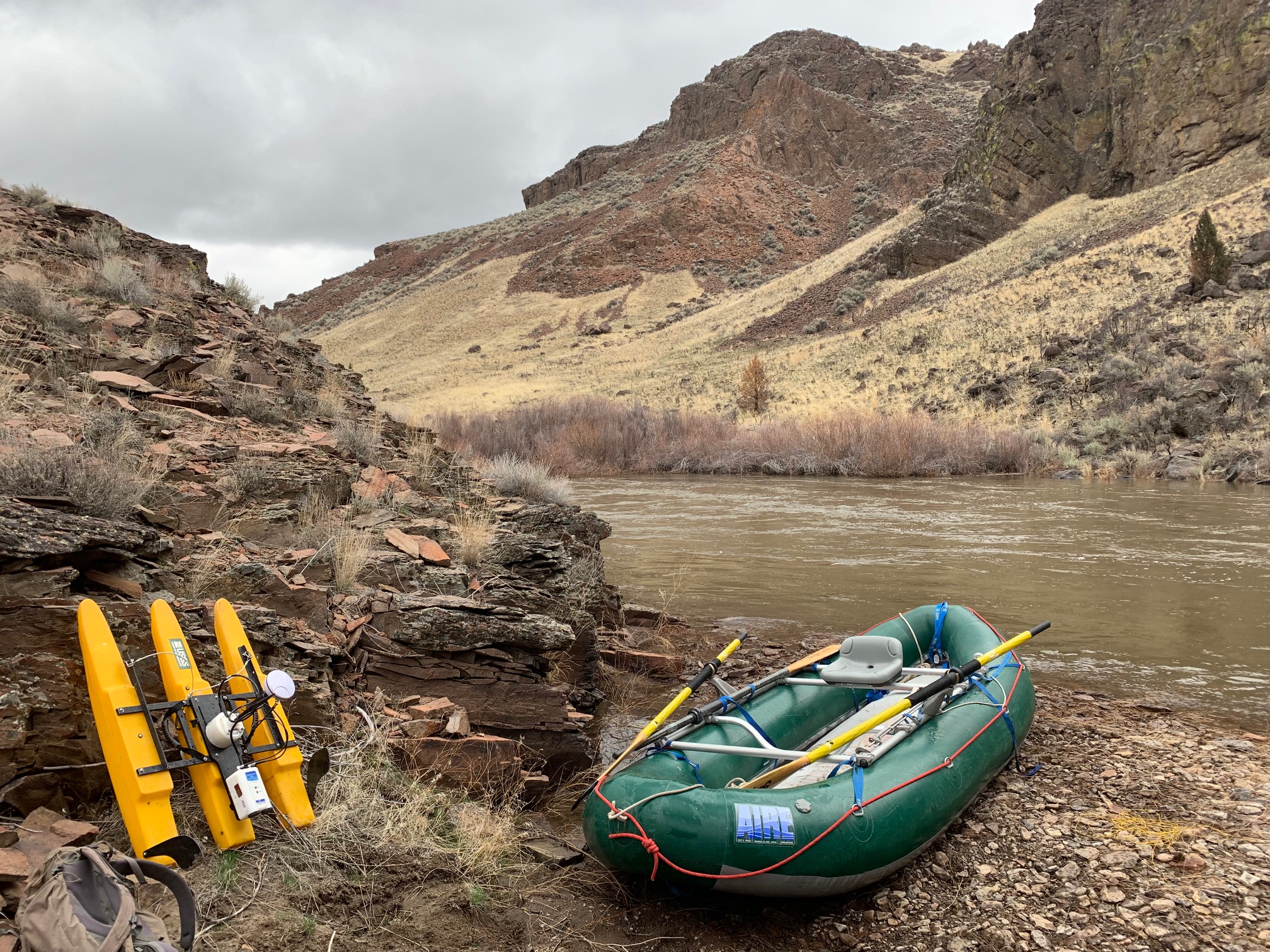
An acoustic Doppler current profiler used to measure streamflow rests next to an inflatable raft near USGS streamgage station 13176305, Deep Creek above Mouth near Riddle, ID. The USGS, in cooperation with the Bureau of Land Management, developed daily streamflow regressions and annual and semimonthly streamflow statistics to estimate streamflow at sites along river segments designated as Wild and Scenic. The BLM used the data to determine streamflows necessary to preserve Outstanding Remarkable Values for these river segments within the remote and rugged Owyhee Canyonlands Wildnerness.
Sources/Usage
Public Domain.