
Surface Geophysics Data Collection, Camas Prairie, Southern Idaho

Detailed Description
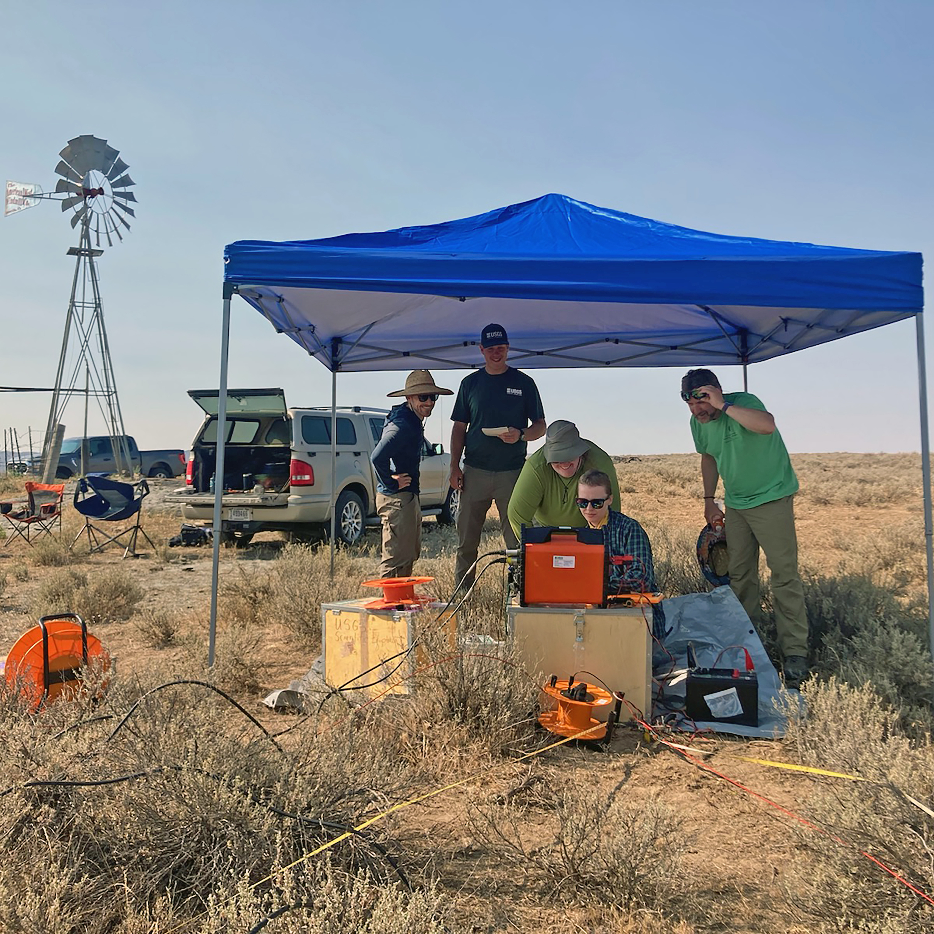
Scientists from the USGS Idaho Water Science Center and the USGS Hydrologic Remote Sensing Branch working together to collect surface nuclear magnetic resonance, time domain electromagnetic resistivity, and horizontal-to-vertical spectral ratio passive seismic data near Fairfield, Idaho. The data support a study of water resources in southern Idaho's Camas Prairie conducted by the USGS Idaho Water Science Center in cooperation with the Idaho Department of Water Resources.
Sources/Usage
Public Domain.
Related
This image was taken as a part of this USGS study.

Characterizing the Water Resources of the Camas Prairie, Southern Idaho
Southern Idaho's Camas Prairie is a 730-square-mile basin nestled between the Mount Bennett Hills and the Soldier Mountains and drained by Camas Creek. The area is culturally significant to native peoples who have gathered the bulbs of the common camas for food. Since the late 19th century, the basin has also been an important agricultural area. Camas Creek contributes water to Magic Reservoir, a...
Related
This image was taken as a part of this USGS study.
Characterizing the Water Resources of the Camas Prairie, Southern Idaho
Southern Idaho's Camas Prairie is a 730-square-mile basin nestled between the Mount Bennett Hills and the Soldier Mountains and drained by Camas Creek. The area is culturally significant to native peoples who have gathered the bulbs of the common camas for food. Since the late 19th century, the basin has also been an important agricultural area. Camas Creek contributes water to Magic Reservoir, a...