



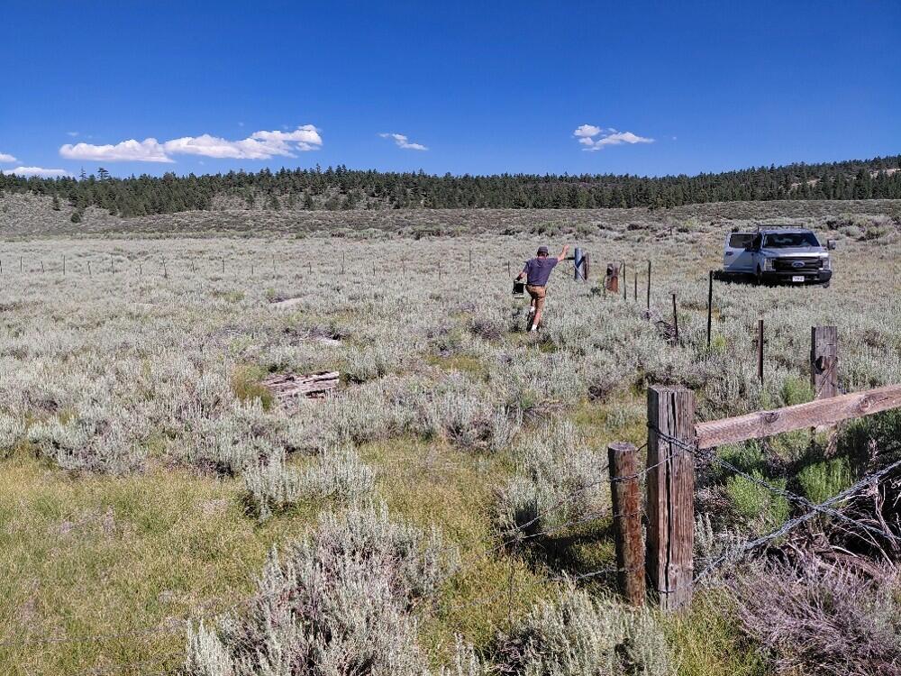
Taking water table elevation measurements in the Long Valley Caldera, California
By California Volcano Observatory
June 2026 (approx.)



Detailed Description
A USGS scientist pulls a conductivity sensor out of a water well. These wells are usually drilled for other purposes (like livestock or agriculture) but are useful for scientists doing geodetic surveys. USGS photo by J. Crozier.
Sources/Usage
Public Domain.