
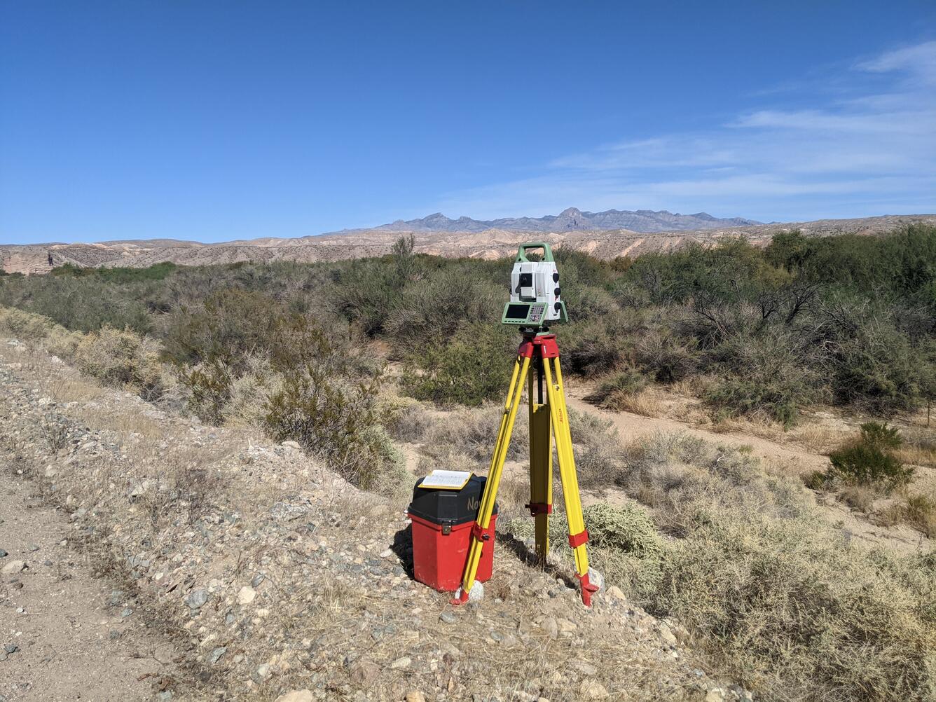
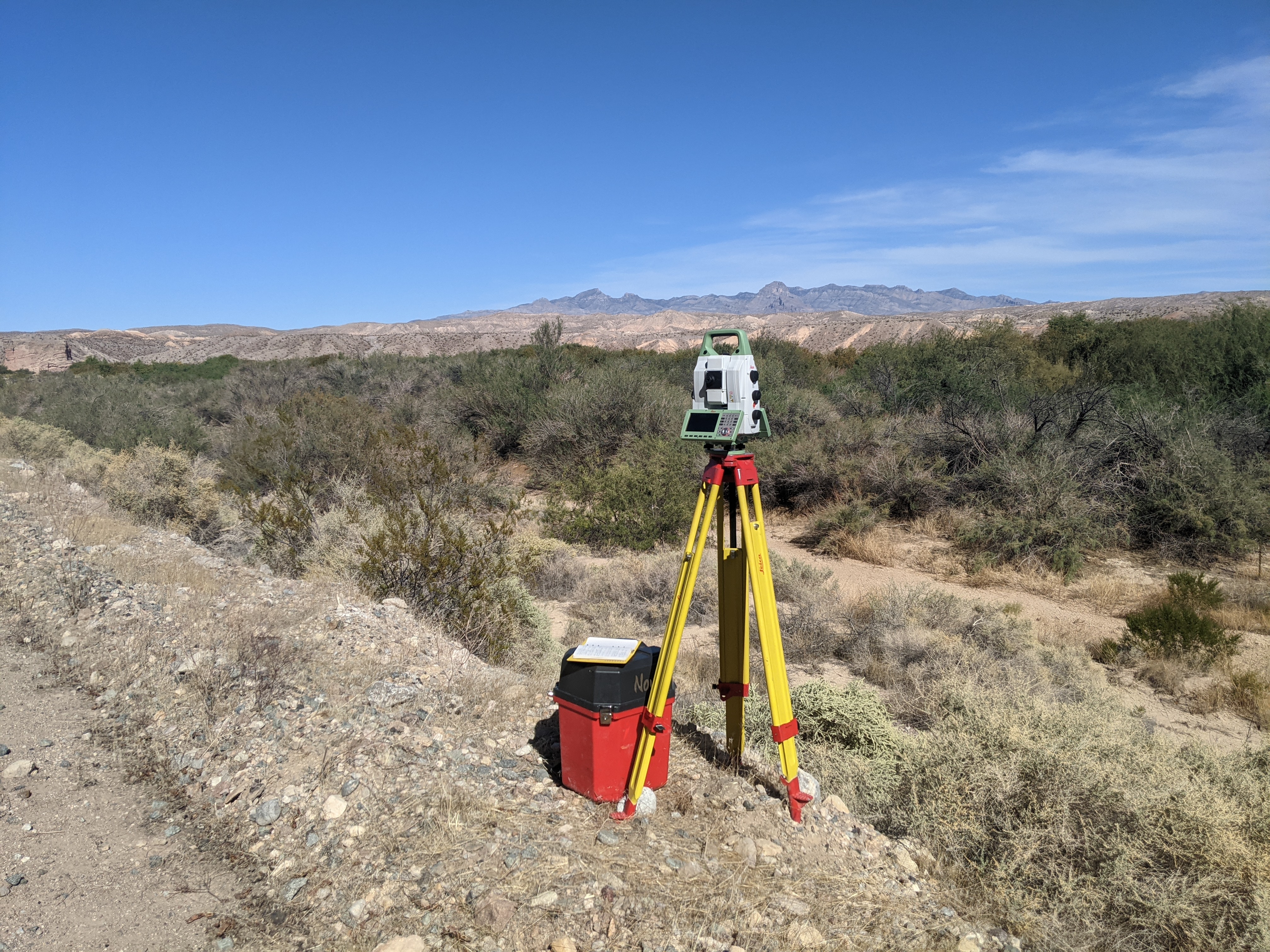
Terrestrial laser scanner survey of floodplain at Stuart Ranch, near Rox, Nevada
Detailed Description
Surveying a floodplain at Stuart Ranch, near Rox, Nevada, with a terrestrial laser scanner. The scanner collects millions of points to build a 3D map of the land surface.
Sources/Usage
Public Domain.
Related

Streamflow Modeling Studies in Nevada
The USGS Nevada Water Science Center (NVWSC), in partnership with the Bureau of Land Management (BLM), is conducting hydrologic and hydraulic modeling studies to support stream restoration.
Related
Streamflow Modeling Studies in Nevada
The USGS Nevada Water Science Center (NVWSC), in partnership with the Bureau of Land Management (BLM), is conducting hydrologic and hydraulic modeling studies to support stream restoration.