
Timing and Source of Recharge to the Columbia River Basalt Groundwater System, Figure 1

Detailed Description
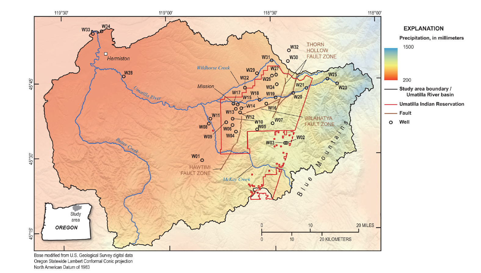
The study area is 2525 square miles within the Umatilla River basin in northeastern Oregon and features a diverse range of terrain elevations. The study area includes most of the Umatilla Indian Reservation and the surrounding public and private land. Most sampled wells were in the eastern portion of the Umatilla River basin to study the transition in the groundwater system from the Blue Mountains into the immediate foothills and lowlands to their west.
Sources/Usage
Public Domain.