
TNMCorps Boundaries Map Overlay
Detailed Description
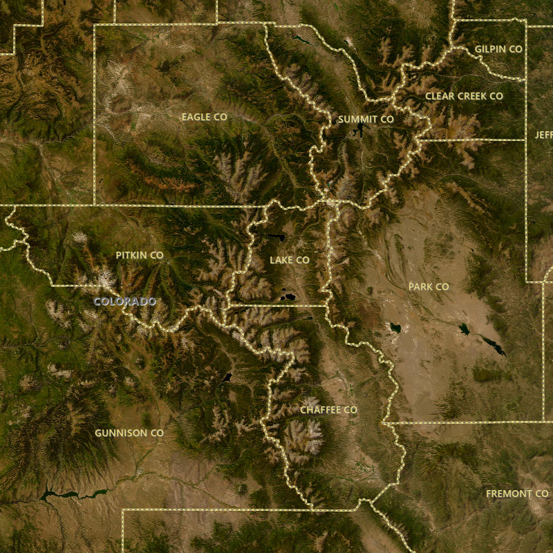
The National Map Corps web-based map editor includes a boundaries map overlay. Boundaries displays vector boundaries of states and counties, which is useful for researching cemeteries by county or looking for parcel information.
Sources/Usage
Public Domain.