
TNMCorps Esri Imagery Layer
Detailed Description
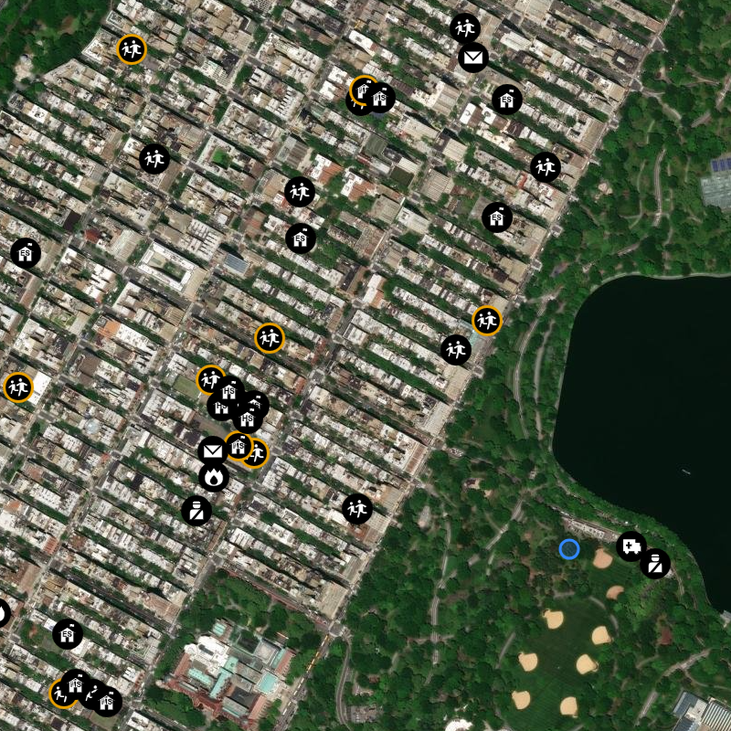
The Esri Imagery layer provides 1m or better satellite imagery and aerial imagery in many parts of the world and lower resolution satellite imagery worldwide and features high-resolution aerial photography from the GIS user community.
Citations can be accessed in the World Imagery with Metadata web map.
Sources/Usage
Public Domain.