
TNMCorps The National Map with Aerial Imagery layer
Detailed Description
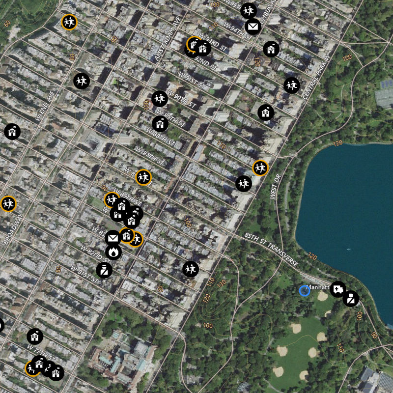
The National Map with Aerial Imagery layer combines NAIP aerial photos (Continental United States) with High Resolution Orthoimagery, and Maxar Technologies (Alaska, PR, HI) with a vector-based map overlay of geographic names, boundaries, transportation, contours, hydrography, land cover, shaded relief, and bathymetry to provide visual and contextual information in one view with the spatial accuracy and reliability of a planimetric map.
Sources/Usage
Public Domain.