
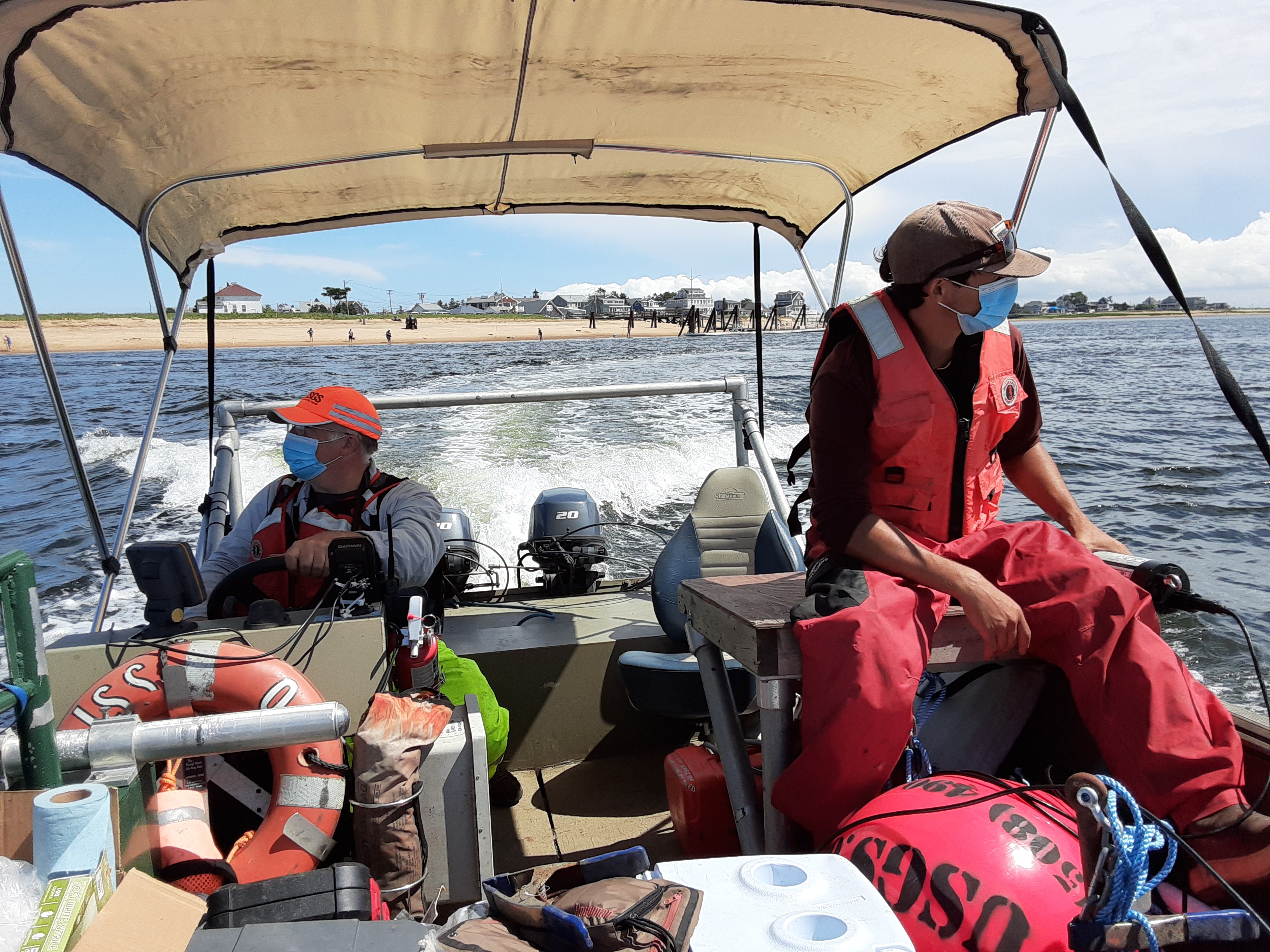
USGS boat crew on Merrimack River, Massachusetts

Detailed Description
Two USGS scientists traveling by boat to estuary sampling and monitoring stations, Merrimack River, Massachusetts
Sources/Usage
Public Domain.
Related

Monitoring Merrimack River Mainstem and Tidal Reaches in Massachusetts to Evaluate Water Quality Conditions, May to September 2020
The Merrimack River watershed, the 4th largest watershed in New England (Massachusetts Executive Office of Environmental Affairs, 2001), has seen substantial growth and development in recent years.
Related
Monitoring Merrimack River Mainstem and Tidal Reaches in Massachusetts to Evaluate Water Quality Conditions, May to September 2020
The Merrimack River watershed, the 4th largest watershed in New England (Massachusetts Executive Office of Environmental Affairs, 2001), has seen substantial growth and development in recent years.