



USGS steps towards supporting strategic exploration and recovery of critical minerals in mine wastes
By Geology, Energy, and Minerals Mission Area
September 2026 (approx.)


Detailed Description
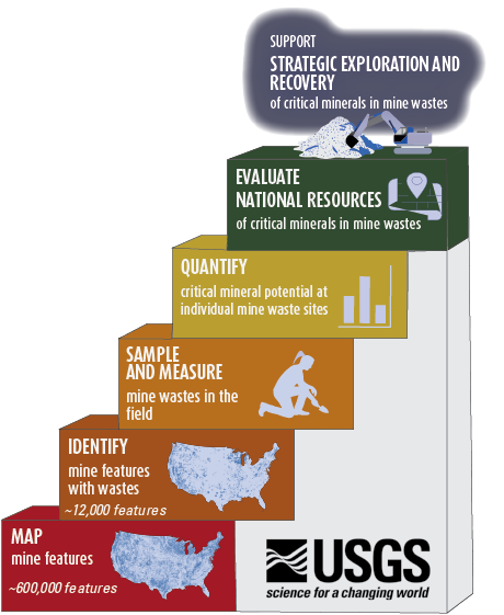
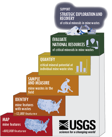
Stair step diagram showing USGS steps towards supporting the strategic exploration and recovery of critical minerals in mine wastes.
Steps include:
-
Mapping mine features. The USGS has mapped approximately 600,000 mine features across the U.S., pictured as blue dots on the map in the bottom step. (See Data: Prospect- and mine-related features on USGS topographic maps)
- Identifying mine features with wastes. The USGS has identified more than 12,000 mine waste features, pictured as blue dots on the map in the second step. (See Data: Prospect- and mine-related features on USGS topographic maps)
- Sampling and measuring mine waste in the field. The USGS is partnering with States to sample and measure mine waste in the field.
- Quantify critical mineral potential at individual mine waste sites. The USGS is working towards this goal.
- Evaluate national resources of critical minerals in mine wastes. The USGS is working towards this goal.
Sources/Usage
Public Domain.