
WERC Black John WARMER results

Sources/Usage
Related
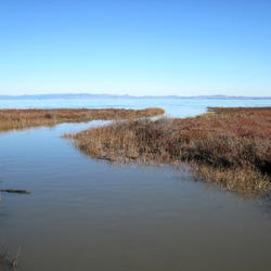
Modeling vulnerability for San Francisco Bay estuary tidal marshes
Karen Thorne researches the effects of inundation and ecological processes within the San Francisco Bay-Delta estuary.
Related
Modeling vulnerability for San Francisco Bay estuary tidal marshes
Karen Thorne researches the effects of inundation and ecological processes within the San Francisco Bay-Delta estuary.