
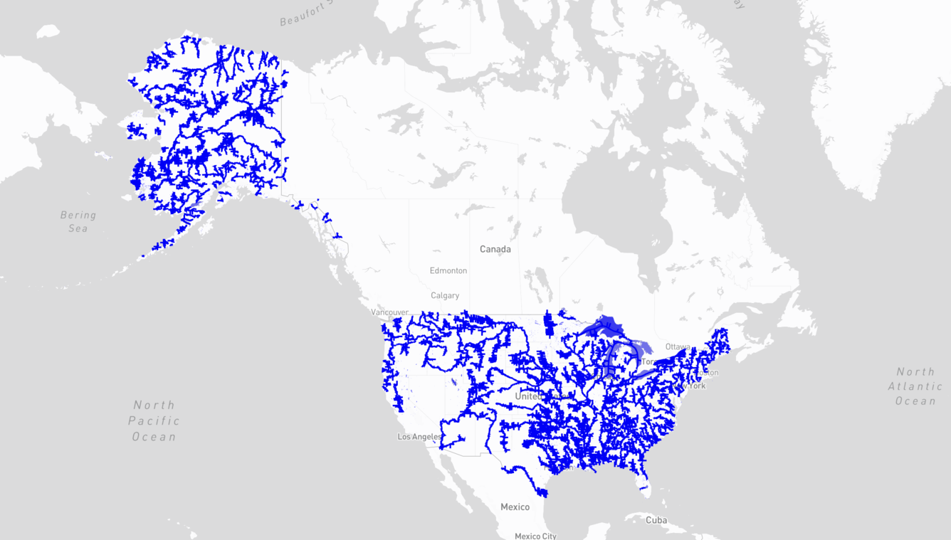
WISP Application areas where satellite water level data is available.
Detailed Description
The USGS Water Information from Space (WISP) application shows rivers, streams and lakes across the United States highlighted in blue to indicate areas where satellite water level data is available.
Sources/Usage
Public Domain.