



Wolverine Glacier site map


Detailed Description
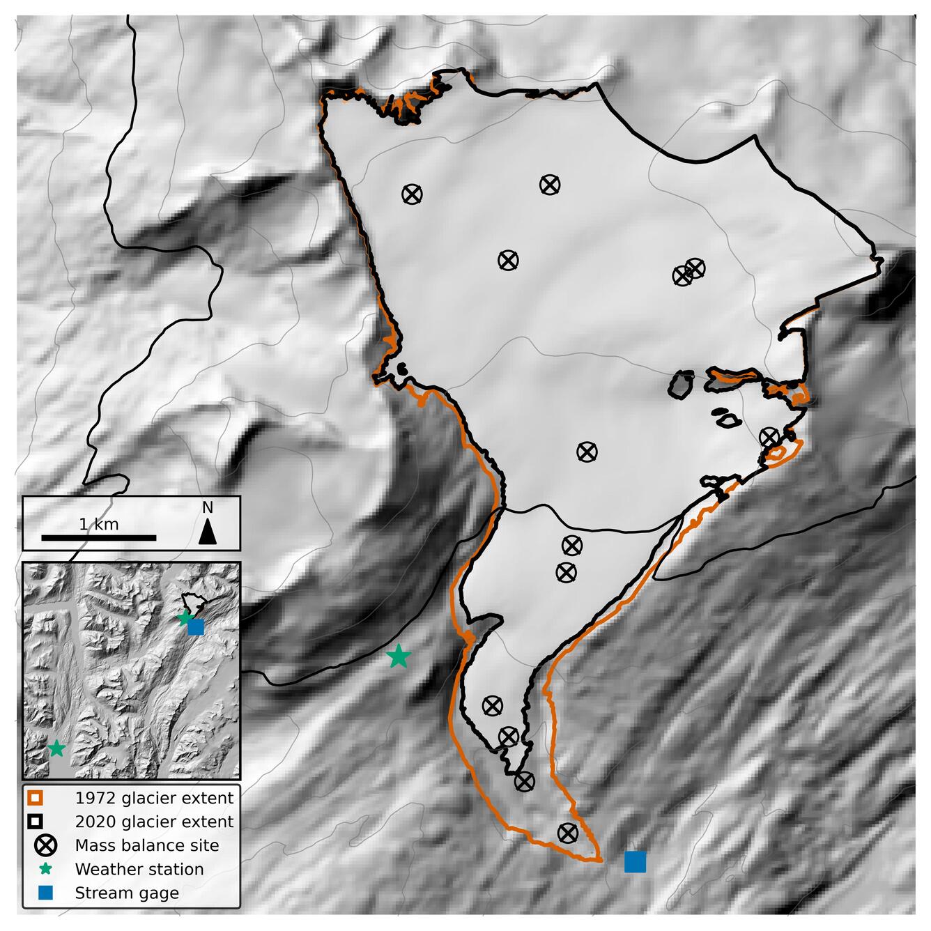
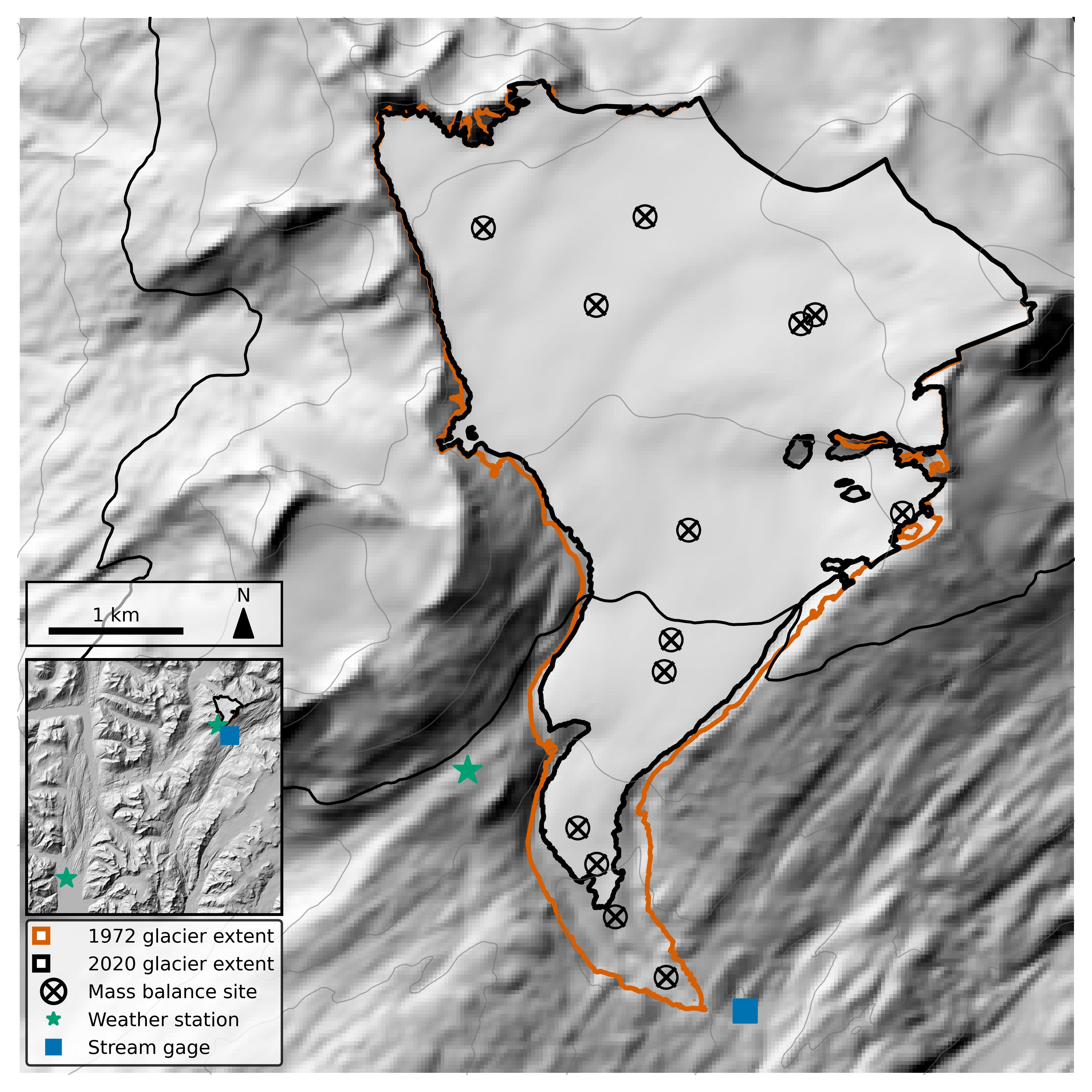
Map of Wolverine Glacier showing the location of mass balance sites (black circle with x), weather stations (green stars), and stream gauge (blue square). The 1972 extent of Wolverine Glacier is shown in orange, and 2020 extent outlined in black.
Sources/Usage
Public Domain.
Map created by Chris McNeil (USGS).
Related

Wolverine Glacier
Wolverine Glacier is located in Alaska’s Kenai Mountains, along the western flank of Prince William Sound. Glacier observations began in 1966 and continue through present as the western most USGS Benchmark Glacier.
Related
Wolverine Glacier
Wolverine Glacier is located in Alaska’s Kenai Mountains, along the western flank of Prince William Sound. Glacier observations began in 1966 and continue through present as the western most USGS Benchmark Glacier.