
Yakima Training Center Web Map

Detailed Description
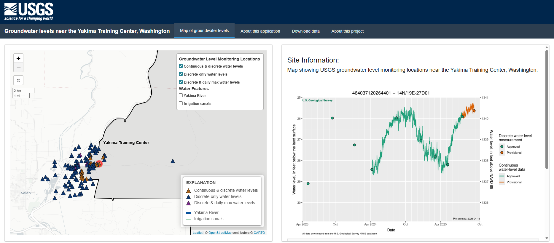
Screenshot from a web application that displays groundwater-level data for selected wells monitored by the U.S. Geological Survey (USGS) near the Yakima Training Center, Washington. These data are part of a project to develop a detailed conceptual understanding of the groundwater-flow system near the Yakima Training Center. Key features include map-based data exploration, hydrographs from project wells, and data downloads.
Sources/Usage
Public Domain.