
Engineered High-Water Mark Indicators

Detailed Description
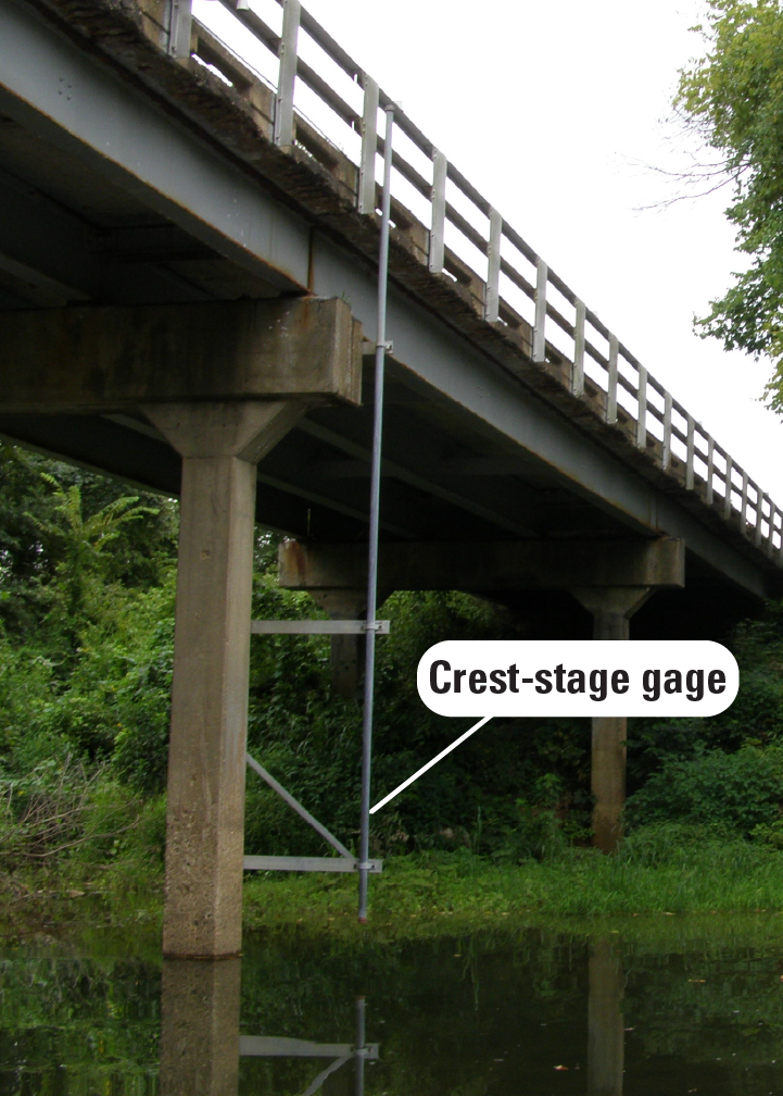
The USGS relies on high-water marks to verify peak stage at most streamgages. While many of these marks are natural flood deposits, the USGS also uses practical, man-made recorders. These devices consistently and conveniently capture high-water events, preserving the marks for scheduled site visits.
Sources/Usage
Public Domain.
Related
High-Water Marks
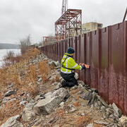
High-water marks are like footprints left behind by a flood — they show how high the water reached during a flood event. High-water marks serve as valuable data points for both educational purposes and scientific research, helping us understand past and recent flood events. Collecting this information is an essential and time-sensitive task for understanding flood risk and improving public safety.
Related
High-Water Marks
High-water marks are like footprints left behind by a flood — they show how high the water reached during a flood event. High-water marks serve as valuable data points for both educational purposes and scientific research, helping us understand past and recent flood events. Collecting this information is an essential and time-sensitive task for understanding flood risk and improving public safety.