
Hampton Roads Benchmark Monitoring Network Image Gallery


Related

Hampton Roads Benchmark Monitoring Network
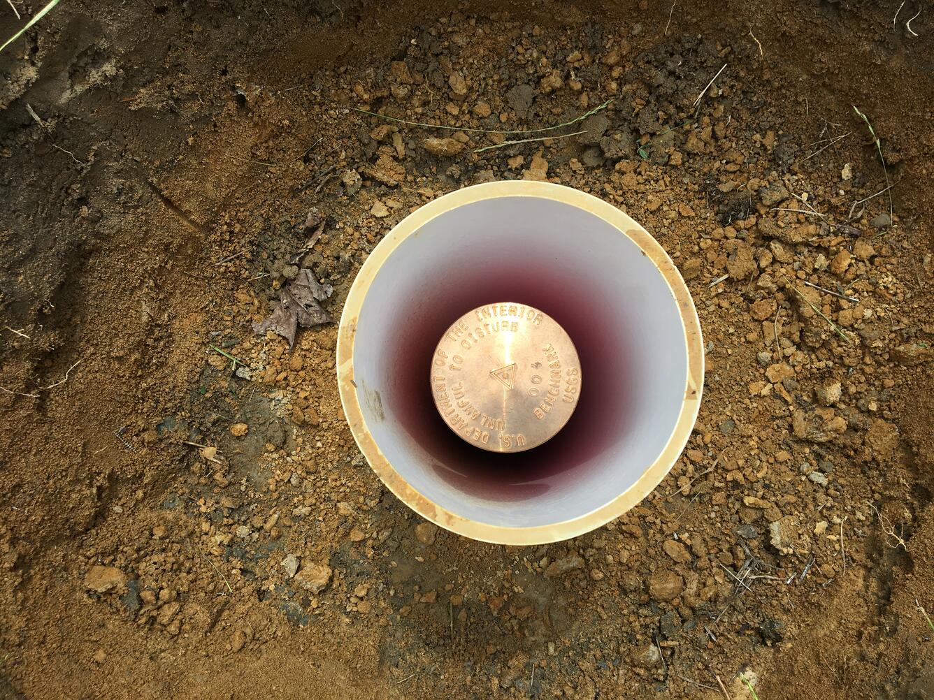
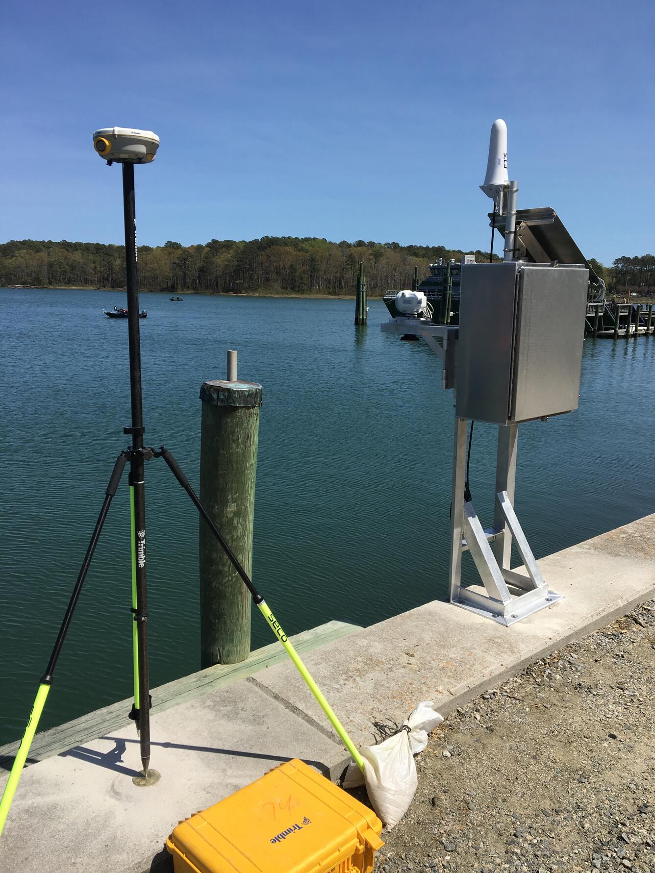
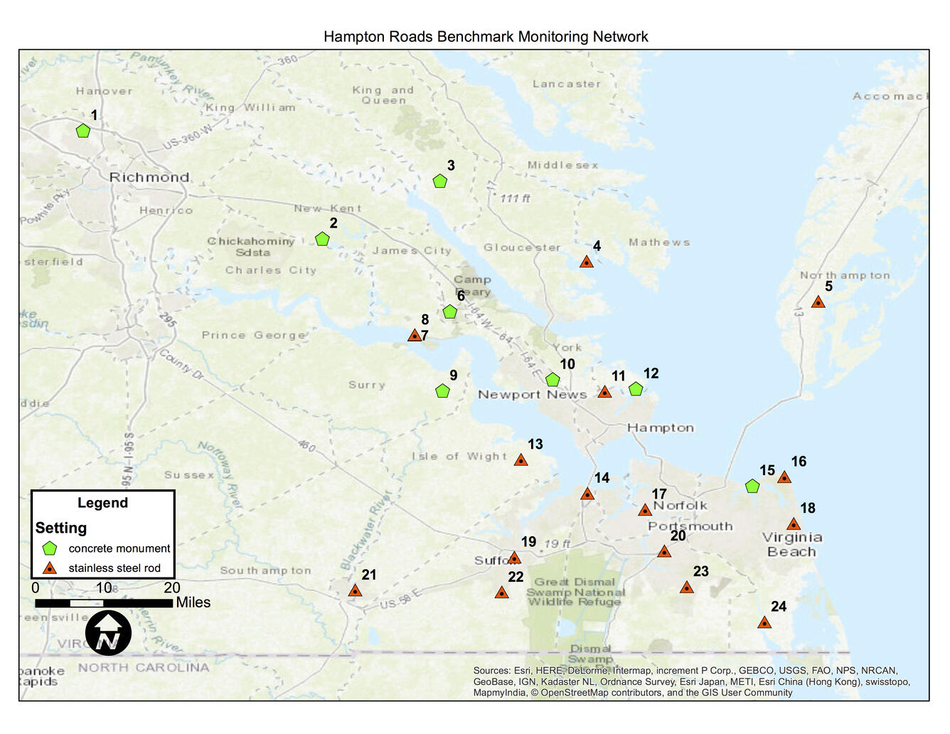
The southern Chesapeake Bay region is experiencing land subsidence along with rising sea levels, both of which can contribute to coastal flooding. The rates at which these two processes are occurring are not exactly known. Mapping of land elevation change requires ground-truth survey data at multiple locations that are accurate and precise. With the exception of a few CORS sites that have...
Related
Hampton Roads Benchmark Monitoring Network
The southern Chesapeake Bay region is experiencing land subsidence along with rising sea levels, both of which can contribute to coastal flooding. The rates at which these two processes are occurring are not exactly known. Mapping of land elevation change requires ground-truth survey data at multiple locations that are accurate and precise. With the exception of a few CORS sites that have...