
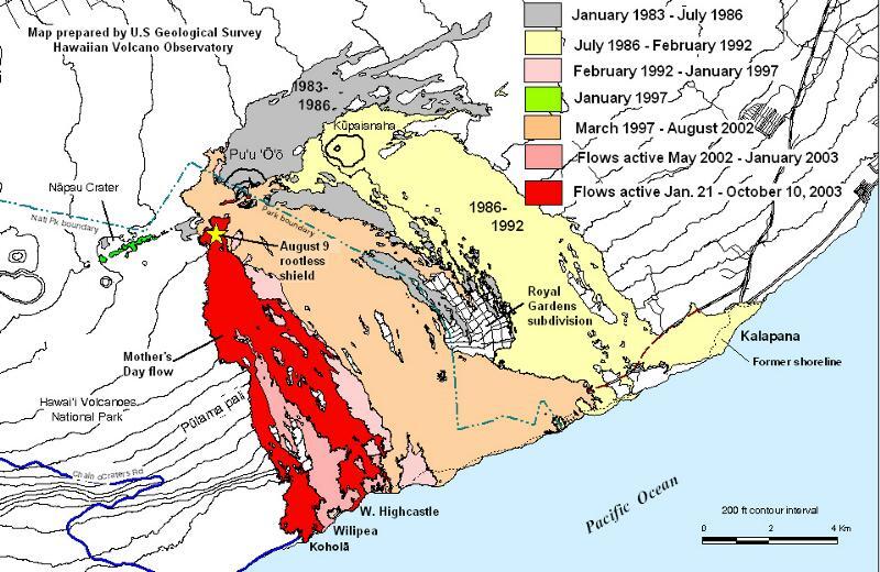
Photo and Video Chronology - Kīlauea - October 28, 2003
By Kīlauea
October 28, 2003
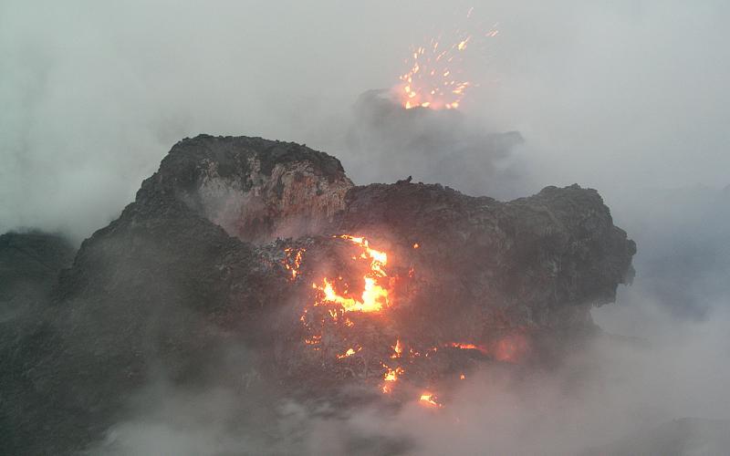
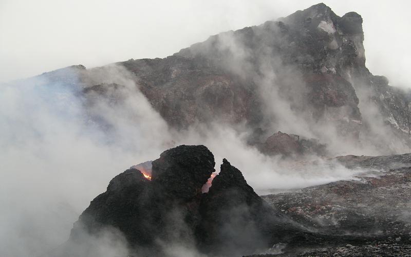
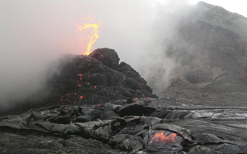
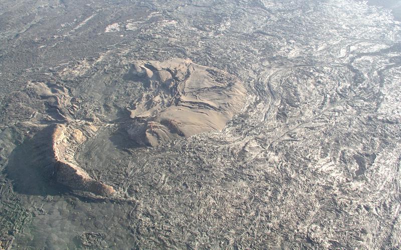
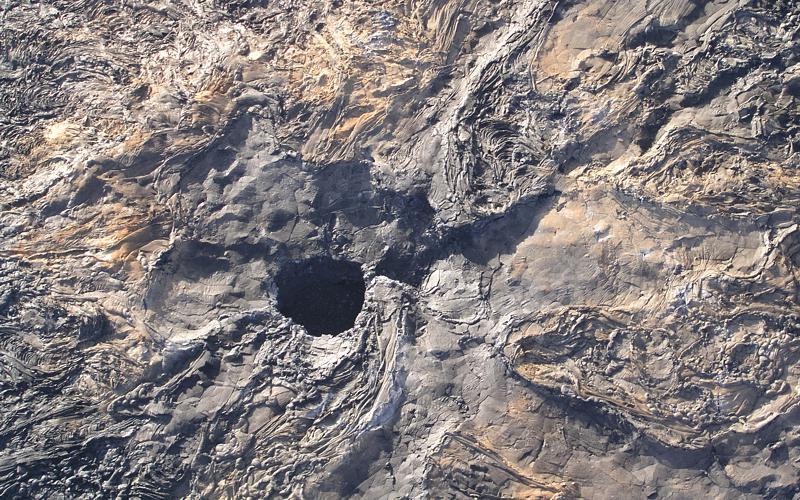
Early morning spatter in West Gap Pit, and a few aerials
Media

Sources/Usage: Public Domain. View Media Details
Media

Sources/Usage: Public Domain. View Media Details
Media
Sources/Usage: Public Domain. View Media Details
Media
Sources/Usage: Public Domain. View Media Details
Media

Sources/Usage: Public Domain. View Media Details
Media
Sources/Usage: Public Domain. View Media Details
Media
Sources/Usage: Public Domain. View Media Details
Media
Sources/Usage: Public Domain. View Media Details
Media

Sources/Usage: Public Domain. View Media Details
Media

Sources/Usage: Public Domain. View Media Details
Media
Sources/Usage: Public Domain. View Media Details