



Helping Prepare the Nation Against Landslide Threats
Over the last three years, USGS has awarded millions of dollars to local governments to support landslide risk-reduction efforts
Over the last three years, USGS has awarded millions of dollars to local governments to support landslide risk-reduction efforts
USGS Cooperative National Geologic Map Now Covers 50 States, U.S. Territories
New version unlocks geology critical to understanding resources and hazards across the Nation
New version unlocks geology critical to understanding resources and hazards across the Nation
Landsat Illustrates the Life Cycle of a Mine
Maps Based on Satellite Data Offer Views Before, During and After Operations
Maps Based on Satellite Data Offer Views Before, During and After Operations
Hurricane Readiness 2026: USGS Tools That Help Communities Stay Safe
News
Stay informed on the latest USGS science. From highlights to in‑depth features, our coverage brings you the science that supports communities and decision-makers nationwide.
-
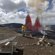
Featured Stories Featured Stories
Browse in-depth stories highlighting the people, projects, and science shaping our organization.
-
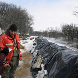
News Releases News Releases
Explore our latest announcements, updates, and stories. Use filters to search and sort by topic, date, or location.
-
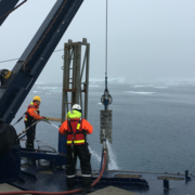
Science Snippets Science Snippets
Discover updates highlighting findings and insights into the work of the USGS.
-

Technical Announcements Technical Announcements
Find the latest updates on scientific methods, data releases, system changes, and technical guidance from USGS experts.
-
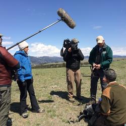
Media Contacts Media Contacts
Connect with USGS media specialists for press inquiries, interviews, and expert information.