
New 3D Elevation Program Fact Sheet for North Dakota
Learn about 3D Elevation Program (3DEP) lidar data for North Dakota in the new fact sheet -
The 3D Elevation Program - Supporting North Dakota's Economy
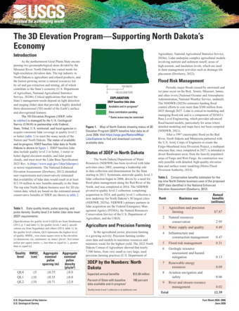
Spanning glaciated farmlands in the east to mineral-rich rangelands in the west, with large rivers that can flood catastrophically, North Dakota has varied needs for high-resolution elevation data. From citizens, to local, county, and state governments, to private industry, lidar is used for precision agriculture, geologic hazard mitigation, and flood modeling and risk management, among many other activities.
Quality level 2 or better lidar is available across the State as a result of partnership with the U.S. Geological Survey through the 3D Elevation Program.
Download the new 3DEP State Fact Sheet to learn about available lidar and the many beneficial uses of the data. You can access the fact sheet through the linked button above and at the USGS publication page. Fact sheets for other states are also available in the 3DEP State Fact Sheet repository.
To view and access 3DEP lidar data, please visit the USGS LidarExplorer. To download these and other National Map products, please visit The National Map Downloader.