



Western California Volcano Research Maps Geonarrative
Explore the geology, tectonics, and hazards of Western California's volcanic fields in a new interactive geonarrative website.
Western California is home to a type of volcanism which happened because of multiple tectonic processes, including subduction of divergent and transform plate boundaries beneath continental North America, opening of a slab window, creation and migration of a tectonic triple junction, and the birth and growth of the San Andreas Fault.
Over the past 40 million years, these processes have created a series of volcanic fields spanning the distance from the Salton Sea in the south to Mendocino in the north. Each of these eight fields records a distinct point in the history of the Mendocino Triple Junction as it migrated northward along the San Andreas fault zone.
By studying the volcanic rock record in western California, geologists are able to piece together how regional volcanism and plate tectonics are linked in space and time. Recognizing this linkage helps scientists to understand possible future volcanism in the region, potential hazards associated with this volcanism, and the impacts these hazards may have on population and infrastructure.
The U.S. Geological Survey California Volcano Observatory (CalVO) closely monitors the parts of western California with the greatest potential for volcanism.
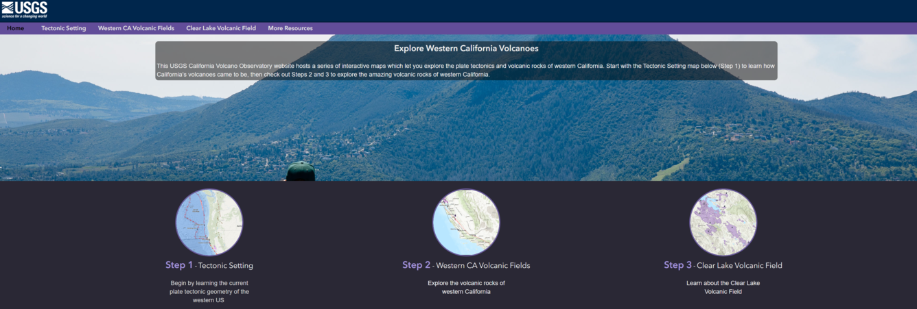
This geonarrative is a GIS-based interactive website which highlights:
- The unique tectonic setting of Western California's volcanic fields
- The geology of eight volcanic fields spanning more than 40 million years of periodic eruptions
- The eruption history, eruption style, rock types, faults, and other features of the Clear Lake Volcanic Field, the most recently active field in Western California
- The research behind the interactive maps, and the researchers of the California Volcano Observatory who are studying California's volcanic fields.
Please contact askcalvo@usgs.gov or the USGS contacts on this page with any questions about the underlying scientific research, data, and their use.

California's Exposure to Volcanic Hazards Geonarrative
Explore the geology, tectonics, and hazards of Western California's volcanic fields in a new interactive geonarrative website.
Western California is home to a type of volcanism which happened because of multiple tectonic processes, including subduction of divergent and transform plate boundaries beneath continental North America, opening of a slab window, creation and migration of a tectonic triple junction, and the birth and growth of the San Andreas Fault.
Over the past 40 million years, these processes have created a series of volcanic fields spanning the distance from the Salton Sea in the south to Mendocino in the north. Each of these eight fields records a distinct point in the history of the Mendocino Triple Junction as it migrated northward along the San Andreas fault zone.
By studying the volcanic rock record in western California, geologists are able to piece together how regional volcanism and plate tectonics are linked in space and time. Recognizing this linkage helps scientists to understand possible future volcanism in the region, potential hazards associated with this volcanism, and the impacts these hazards may have on population and infrastructure.
The U.S. Geological Survey California Volcano Observatory (CalVO) closely monitors the parts of western California with the greatest potential for volcanism.
This geonarrative is a GIS-based interactive website which highlights:
- The unique tectonic setting of Western California's volcanic fields
- The geology of eight volcanic fields spanning more than 40 million years of periodic eruptions
- The eruption history, eruption style, rock types, faults, and other features of the Clear Lake Volcanic Field, the most recently active field in Western California
- The research behind the interactive maps, and the researchers of the California Volcano Observatory who are studying California's volcanic fields.
Please contact askcalvo@usgs.gov or the USGS contacts on this page with any questions about the underlying scientific research, data, and their use.