U.S. flag

An official website of the United States government

January 14, 2026

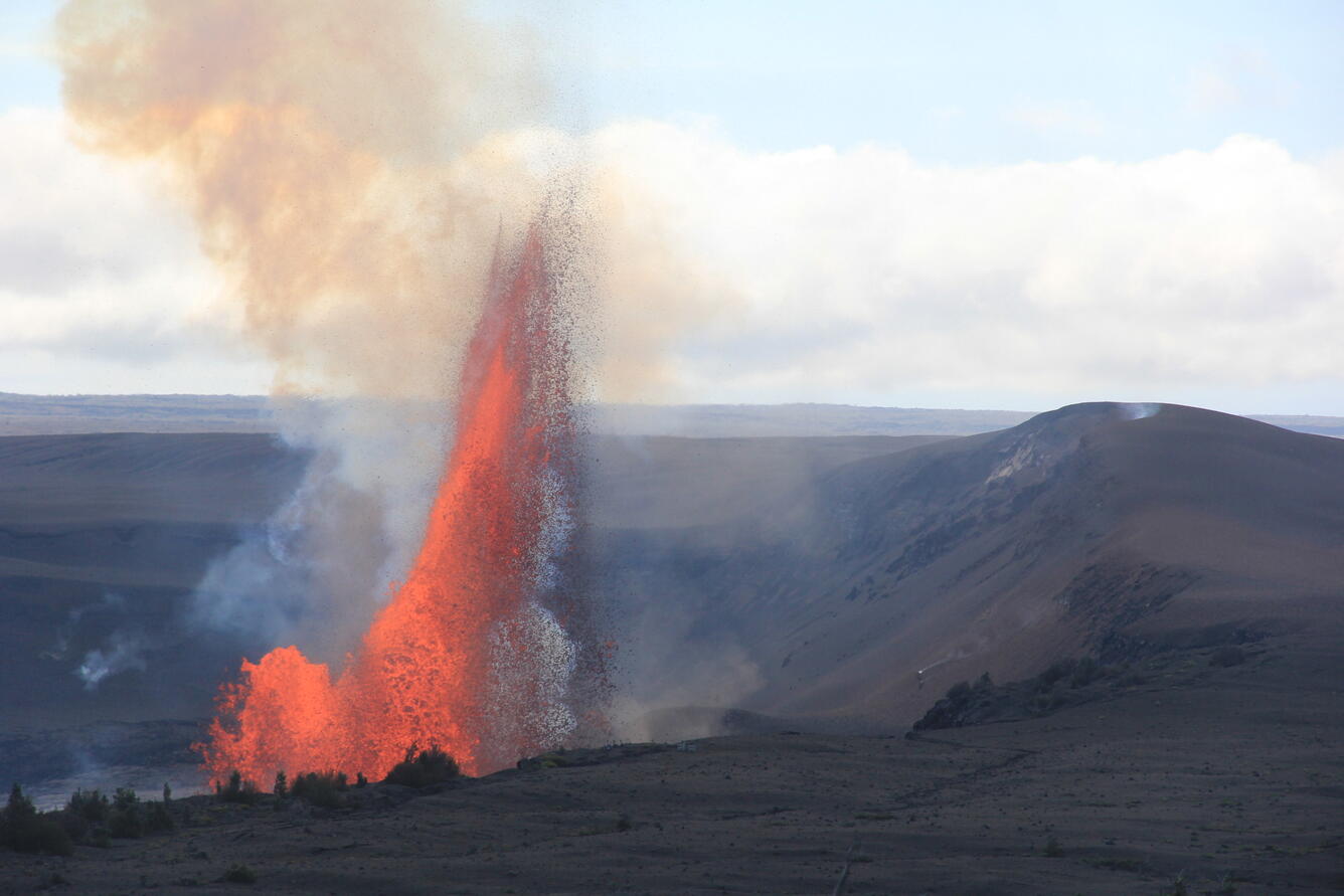
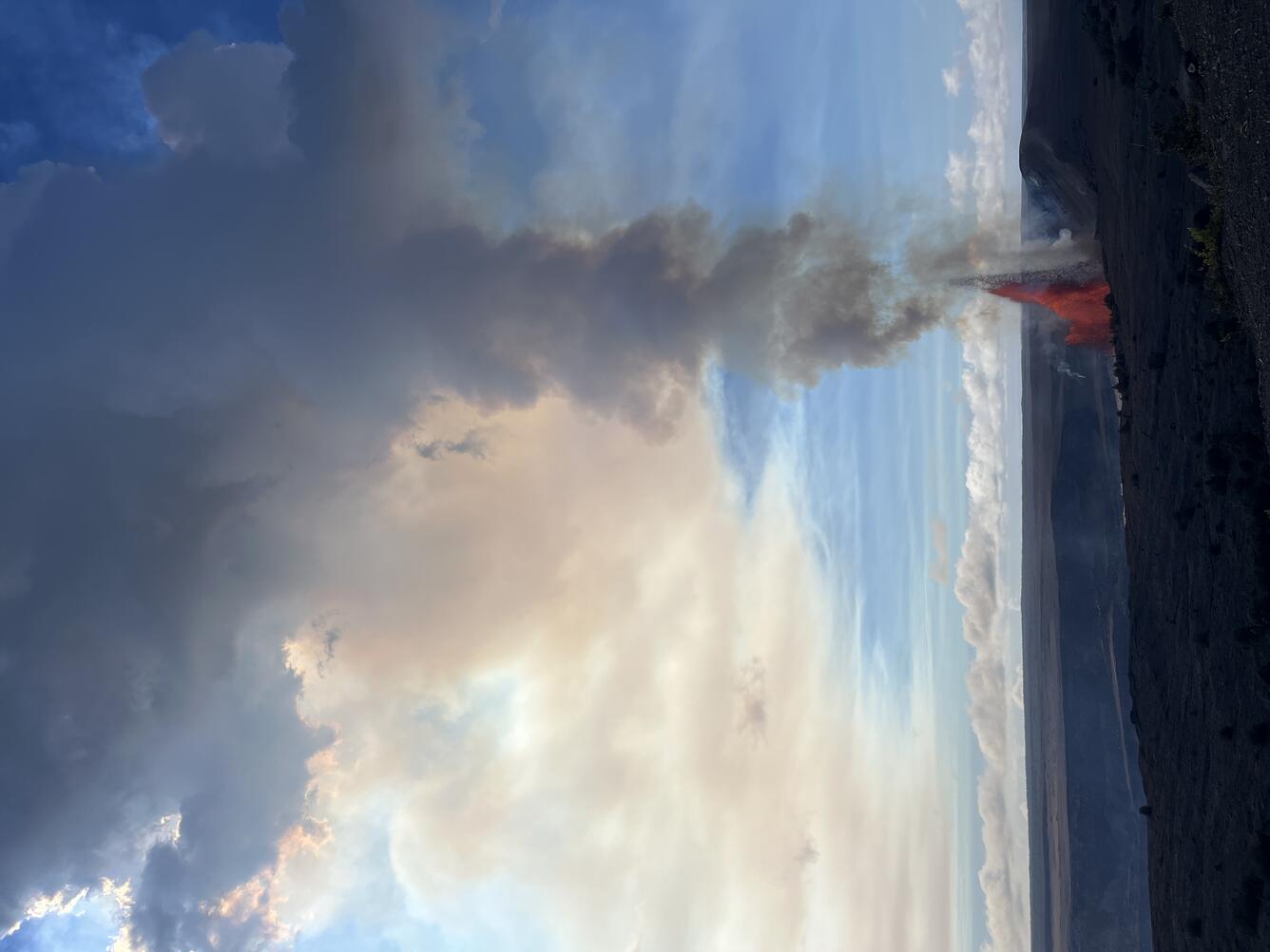
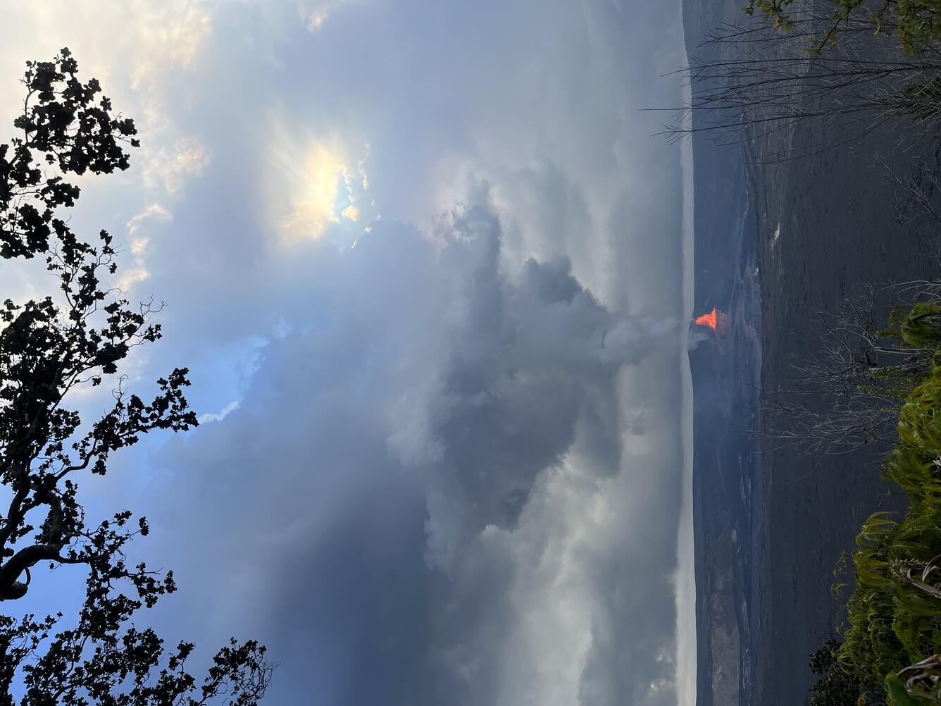
Kīlauea summit eruption episode 40 lava fountaining lasted for just under 10 hours on January 12, with maximum lava fountain heights of about 800 feet (250 meters). 


Media
Color photograph of lava fountaining with crater rim in foreground
USGS Hawaiian Volcano Observatory geologists observe episode 40 fountains from the Uēkahuna overlook within Hawai‘i Volcanoes National Park. This episode had multiple days of precursory overflows from both the north and south vents, leading to fountains primarily from the north vent starting on January 12 and reaching up to 800 feet (250 meters). Tephra clasts were carried in the plume and intermittently deposited at the Uēkahuna public viewing area around 12:45 p.m. HST, and were less than 1 inch to 4 inches in size (2-10 cm). USGS photo by H. Winslow. 
Media
Color photograph of lava fountaining within caldera
On January 12, 2026, Kīlauea had its 40th fountaining episode of the ongoing eruption within Halema‘uma‘u. This view was taken at 10:50 a.m. H.S.T. from the publicly accessible viewing area at Uēkahuna within Hawaiʻi Volcanoes National Park, showing north vent fountaining. USGS photo by N. Deligne.
Media
Color photograph of lava fountaining within a caldera
On January 12, 2026, Kīlauea had its 40th fountaining episode of the ongoing eruption within Halema‘uma‘u. This photo was taken at 4:37 p.m. HST from the publicly accessible viewing area at Kūpinaʻi Pali (Waldron's Ledge) within Hawaiʻi Volcanoes National Park, showing north vent fountaining. The episode ended about an hour and a half after this photo was taken. USGS photo by N. Deligne.
Media
Color map showing area recently affected by eruption
This reference map depicts the Kīlauea summit eruption within Halema‘uma‘u crater that began on December 23, 2024. The data for this map were collected during a Hawaiian Volcano Observatory helicopter overflight on January 2, 2026; as such, the provided statistics are reflective of the first thirty-nine episodes of the eruption through December 24, 2025. A fortieth lava fountaining episode occurred yesterday, January 12, but its lava flows have not yet been fully mapped at this time. Note that the map shows a significant expansion of the vent spatter deposit, which is the result of more comprehensive mapping of the episode 38 deposit in the southwest corner of Halema‘uma‘u. Additionally, the provided eruption statistics indicate a maximum lava thickness lower than that in previous maps; reanalysis of earlier overflight data showed that thickness measures near the eruptive vents were affected by the emitted volcanic gas plume. This has now been corrected for, and the new maximum lava thickness value should be considered more accurate at present.
Was this page helpful?