
Volcano Watch — The legacy of the 1975 earthquake: 50 years of study at Kīlauea’s south flank
The 1975 Kalapana earthquake brought big changes to lives of the people affected by the fatalities and damage, as well as big changes to our understanding of Kīlauea’s south flank.
Volcano Watch is a weekly article and activity update written by U.S. Geological Survey Hawaiian Volcano Observatory scientists and affiliates. This week’s article is by HVO geophysicist Ingrid Johanson.
Scientists at the USGS Hawaiian Volcano Observatory (HVO) had been collecting data and forming a hypothesis that Kīlauea’s south flank could produce a large earthquake soon. The 1975 earthquake occurred on November 29th, while their findings were waiting to be printed.
Previous large earthquakes, such as the 1868 magnitude-7.9 Great Kaʻu earthquake, were attributed to a nearly horizontal fault (décollement) at the boundary between the original oceanic crust and erupted lavas from Mauna Loa and Kīlauea. It is deepest under the middle of the Island of Hawaiʻi and gets slightly shallower towards the shoreline.
Seismic and deformation data for the Kalapana earthquake indicated that the primary motions were also on the décollement fault, but the 1975 rupture was more complicated. Vertical offsets were also noted along the top of several pali (cliffs) on Kīlauea’s south flank. These pali are the surface expression of the Hilina fault system. This suggests that both the Hilina fault system and the décollement fault slipped during the 1975 earthquake, leading scientists to wonder whether the Hilina fault system might connect directly to the décollement fault.
Additional data collection in the past 50 years has shown that this scenario is not the case. One of the major lines of evidence is from a series of offshore seismic reflection profiles published in 2000—a technique that images inside the crust, similar to an MRI.
The reflection profiles showed that the head scarps of the Hilina fault system curve with depth and don’t continue deep enough to intersect with the décollement. This means that the Hilina fault blocks are smaller than they would be if they connected to the décollement and that the two structure don’t directly connect.
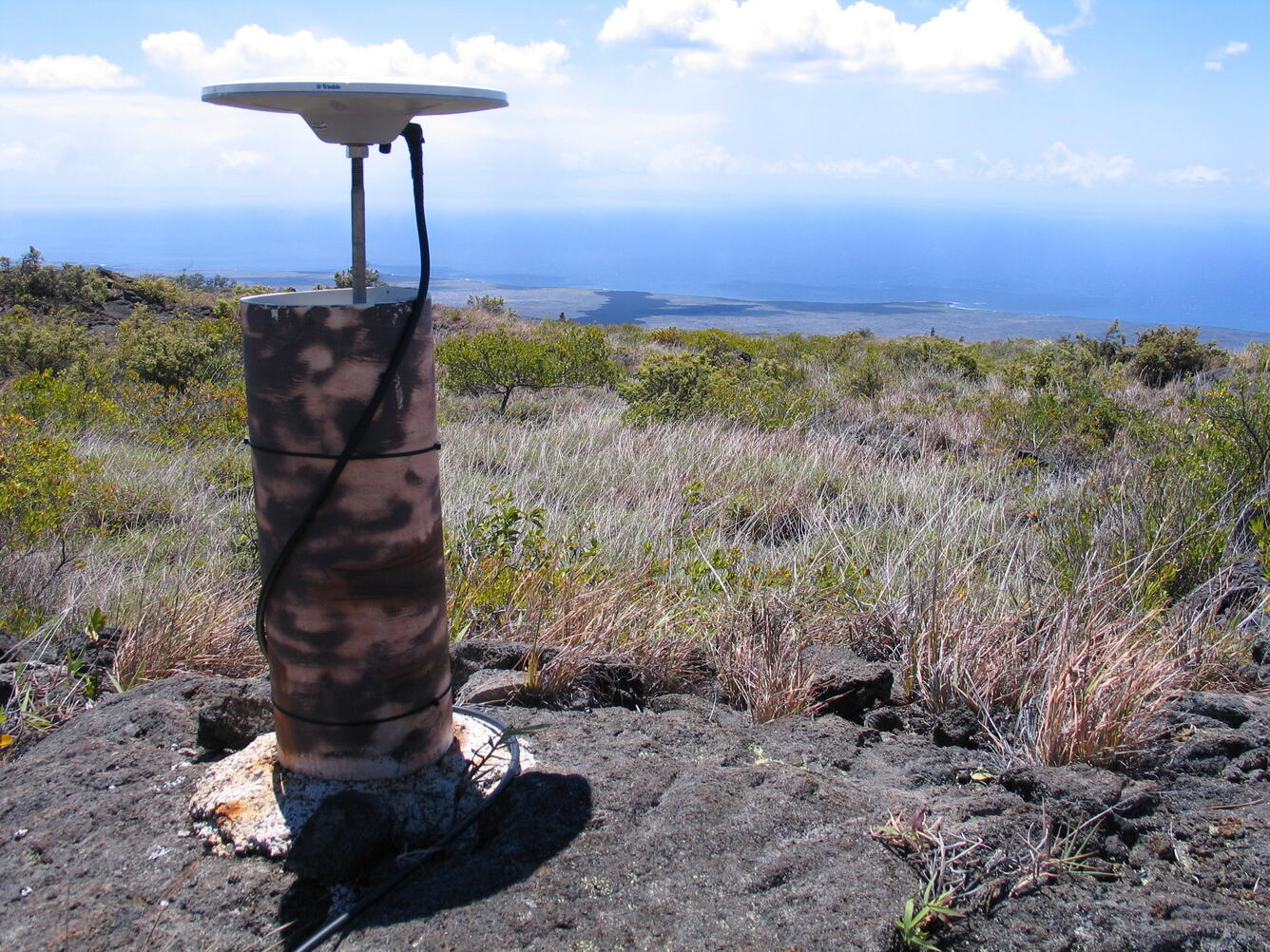
After the 1975 earthquake, there was a greater emphasis on monitoring the motion of the south flank. HVO and the University of Hawaiʻi at Mānoa installed continuous GPS instruments on Kīlauea’s south flank that recorded the steady seaward motion of south flank at a rate of around 5 cm (2 inches) per year. They also showed that motion of the flank was not always steady. Every 2-3 years, the flank would speed up for 2-3 days, in a phenomenon called a slow slip event. These events released fault strain energy equivalent to a magnitude-6 earthquake, but did it so slowly that no damaging shaking was generated.
Slow slip events have been observed on faults all over the world, including the San Andreas fault and the Cascadian subduction zone. The observation of slow slip events at Kīlauea was key for showing that their occurrence is not unique to plate boundaries, but is a fundamental result of velocity-strengthening fault friction that can occur wherever those frictional conditions exist.
The 2018 Magnitude-6.9 earthquake provided yet more insights into the 1975 earthquake. There was no evidence for motion on the palis during this more recent earthquake. Given what we’ve learned about the structure of the south flank in the last 50 years, it is likely that this is because the 2018 earthquake was smaller than the 1975 event. Strong shaking during the 1975 earthquake may have been what led to motion on the Hilina fault system, a process called dynamic triggering.
However, even with a large earthquake, there is a limit to how much the Hilina fault zone will move. The seismic reflection profiles published in 2000 showed that the décollement fault creates a zone of uplifted crust (“toe”) as it approaches the surface. This toe acts as a buttress on the flank, inhibiting large motions.
Our improved understanding of how the south flank of Kīlauea behaves is part of the legacy of the 1975 earthquake, as is our appreciation for the sizes of earthquakes that can be generated on the décollement fault. Good earthquake preparedness is always a good idea. Information on how to make your home and family earthquake ready can be found at https://www.ready.gov/earthquakes.
Volcano Activity Updates
Kīlauea has been erupting episodically within the summit caldera since December 23, 2024. Its USGS Volcano Alert level is WATCH.
Episode 37 lava fountaining happened for 9 hours on November 25. The summit is reinflating and glow is visible overnight from the south vent. Another fountaining episode is likely, but is at least a week away according to forecasting models. No unusual activity has been noted along Kīlauea’s East Rift Zone or Southwest Rift Zone.
Mauna Loa is not erupting. Its USGS Volcano Alert Level is at NORMAL.
Three earthquakes were reported felt in the Hawaiian Islands during the past week: a M3.4 earthquake 25 km (15 mi) ENE of Hala‘ula at 4 km (2 mi) depth on November 26 at 4:24 a.m. HST, a M4.6 earthquake 15 km (9 mi) SSE of Fern Forest at 5 km (3 mi) depth on November 25 at 11:49 p.m. HST, and a M3.2 earthquake 15 km (9 mi) ESE of Waikoloa at 30 km (18 mi) depth on November 20 at 3:43 p.m. HST.
HVO continues to closely monitor Kīlauea and Mauna Loa.
Please visit HVO’s website for past Volcano Watch articles, Kīlauea and Mauna Loa updates, volcano photos, maps, recent earthquake information, and more. Email questions to askHVO@usgs.gov.