



New 3D Elevation Program Fact Sheet for Wisconsin
Learn about 3D Elevation Program (3DEP) lidar data for Wisconsin in the new fact sheet -
The 3D Elevation Program - Supporting Wisconsin's Economy
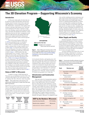
Positioned between the Mississippi River and the Great Lakes with a landscape largely molded by glaciation, the state of Wisconsin has a wide range of needs for high-resolution elevation data. State, local, and Tribal organizations, the general public, as well as private industry, depend on lidar data to make informed decisions regarding forest management, precision farming, water supply, infrastructure planning, and more.
Quality level 2 or better lidar is available across the State as a result of partnership with the U.S. Geological Survey through the 3D Elevation Program.
Download the new 3DEP State Fact Sheet to learn about available lidar and the many beneficial uses of the data. You can access the fact sheet through the linked button above and at the USGS publication page. Fact sheets for other states are also available in the 3DEP State Fact Sheet repository.
To view and access 3DEP lidar data, please visit the USGS LidarExplorer. To download these and other National Map products, please visit The National Map Downloader.