
USGS topoBuilder Surpasses One Million Custom Topo Maps
Mapping in your hands with the topoBuilder application
Since its launch in 2022, the topoBuilder application has enabled users to create more than one million custom OnDemand Topographic Maps, marking a major milestone in personalized mapping.
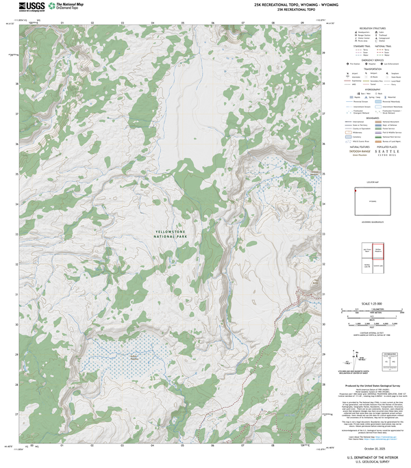
Whether you're planning a hike, conducting field research, or managing natural resources, topoBuilder puts the power of mapping directly in your hands. The topoBuilder application allows you to define map extents anywhere across the United States and its territories, generating detailed topographic maps that are delivered directly to you via email.
OnDemand Topos include the most current data from The National Map, including trails, water features, boundaries, and high-resolution imagery. The result is a tailored map that’s ready for use in outdoor recreation, education, planning, and scientific exploration.
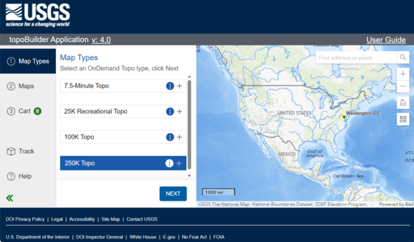
With topoBuilder, creating an OnDemand Topo is simple: choose a map type, apply customizations, submit the request, and receive a link to your map via email.
topoBuilder offers four OnDemand Topo map options to suit a wide range of needs:
- 7.5 Minute Topo - detailed maps ideal for local navigation
- 25K Recreational Topo - perfect for hiking, biking, and other outdoor activities
- 100K Topo - a newly revived medium-scale option for broader planning
- 250K Topo - regional-scale maps for large-area analysis
The success of topoBuilder reflects a growing public interest in accessible, customizable, and current topographic data. From hikers and educators to scientists and planners, people across the country are using OnDemand Topos to explore, learn, and make informed decisions.
Every map created through topoBuilder represents a story of discovery, recreation, stewardship, or service to communities that rely on the Department of the Interior’s capacity for science, data, and technologies. We’re excited to see OnDemand Topos continue to help people connect with the land, support research, and plan for the future.