
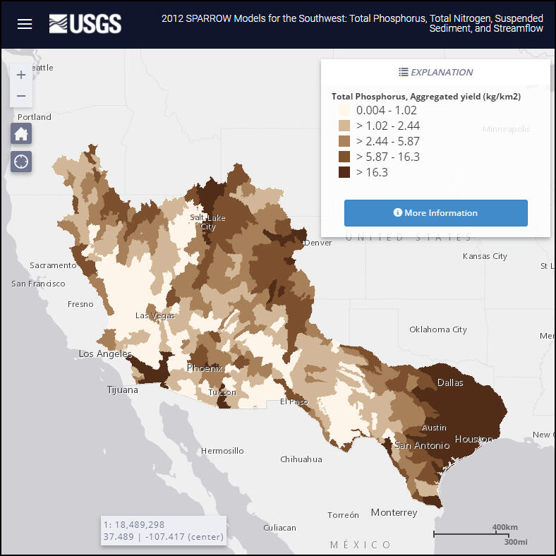
2012 SPARROW Models for the Southwest: Total Phosphorus, Total Nitrogen, Suspended Sediment, and Streamflow
January 8, 2020
2012 SPARROW (SPAtially Referenced Regressions On Watershed attributes) interactive mappers are available for 5 regions of the conterminous U.S. These mappers simulate river streamflow, and nutrient and sediment loads and yields, that would occur under long-term average hydrologic conditions for the time period 1999 through 2014, and source inputs that occurred during or near 2012.
Media
Sources/Usage: Public Domain. View Media Details