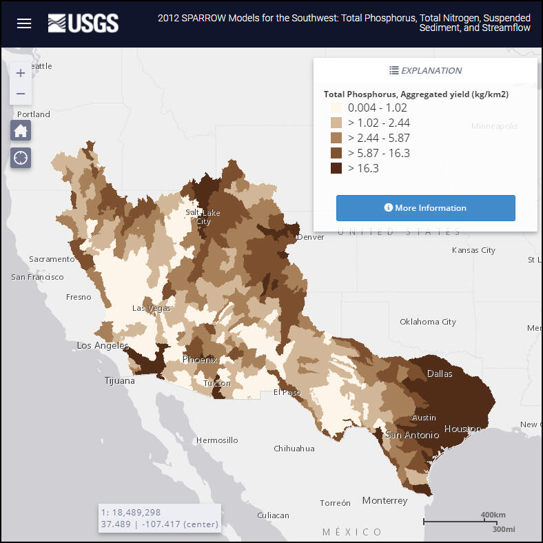
2012 SPARROW (SPAtially Referenced Regressions On Watershed attributes) interactive mappers are available for 5 regions of the conterminous U.S. These mappers simulate river streamflow, and nutrient and sediment loads and yields, that would occur under long-term average hydrologic conditions for the time period 1999 through 2014, and source inputs that occurred during or near 2012.

