



Earth MRI Acquisitions Map
May 1, 2020
Media
Sources/Usage: Public Domain. View Media Details
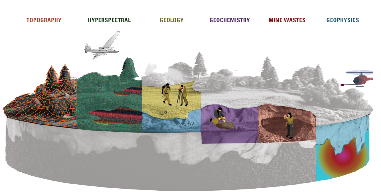
The Earth Mapping Resources Initiative (Earth MRI) is an initiative within the USGS Mineral Resources Program to modernize mapping of the Nation’s surface and subsurface. Earth MRI collects multiple types of data across the full extent of the nation, including geologic, geophysical, geochemical, hyperspectral, topographic and other data focused in in areas with potential critical mineral resources.
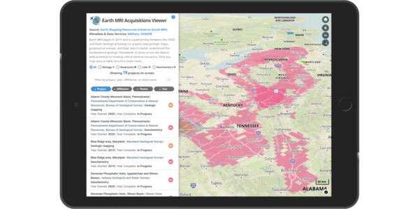
The Earth MRI Acquisitions Viewer web tool allows users to explore data collected and in progress across the Nation, and access published data releases.
Media
Sources/Usage: Public Domain. View Media Details