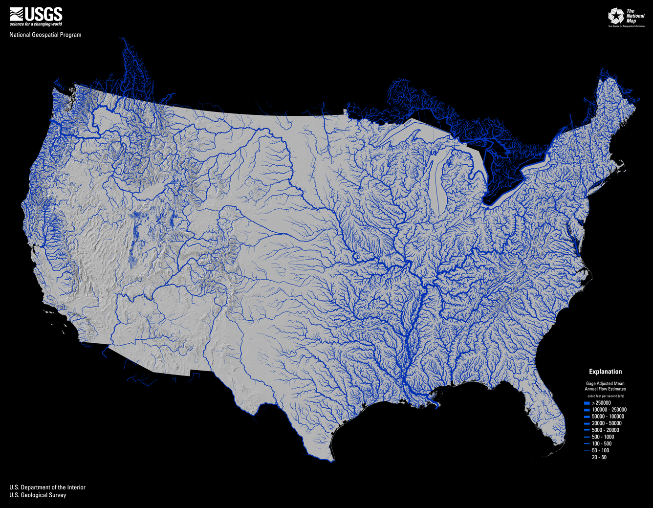
The 3DNTM Call for Action - Part 1: The 3D Hydrography Program
The 3DNTM Call for Action - Part 2: The Next Generation 3D Elevation Program
New Product from the 3D Elevation Program
Seamless 1 Meter Digital Elevation Model (S1M)
3D National Topography Model
The 3D National Topography Model (3DNTM) is a new initiative that updates, improves, and integrates USGS elevation and hydrography data to support the most demanding scientific requirements and enable data-driven decisions across user communities.
3D Elevation Program (3DEP)
3D Elevation Program's (3DEP) mission is to respond to growing needs for current high-quality topographic data and for a wide range of other three-dimensional (3D) representations of the Nation's natural and constructed features.
3D Hydrography Program (3DHP)
The 3D Hydrography Program's (3DHP) goal is the first systematic remapping of the Nation’s hydrography since the original USGS 1:24,000-scale topographic mapping program was active. Community-wide coordinated investments will contribute toward a consistent set of national water data to answer the most demanding water resource questions.
Data Collaboration Announcement (DCA)

The USGS National Geospatial Program (NGP) collaborates with a wide range of stakeholders to share acquisition costs for topographic data in support of collective mission requirements. Building on the success of the 3DEP Broad Agency Announcement, NGP is changing its data acquisition partnership process beginning in FY 2024 to the Data Collaboration Announcement (DCA).