



3DEP as Art Series
Experience the topographic beauty of the United States through the 3DEP as Art Series. A modern illustration of each state's landscape uses 3DEP data to showcase subtle beauty in their elevation differences like never before.
How these maps were created
The vibrant 3DEP as Art maps are crafted from the U.S. Geological Survey’s high-resolution 3D Elevation Program (3DEP) data with approximately 10-meter resolution digital elevation models. 3DEP is a nationwide program that collects and delivers high‑quality elevation measurements that create detailed, accurate maps depicting the shape of the land and elevations of other features, such as trees and buildings, across the United States. These maps depict the “bare earth” surface, stripping away vegetation and structures, revealing the ground surface. Discover terrain features such as ridges, valleys, and slopes in each state below.
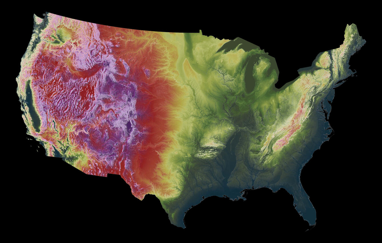
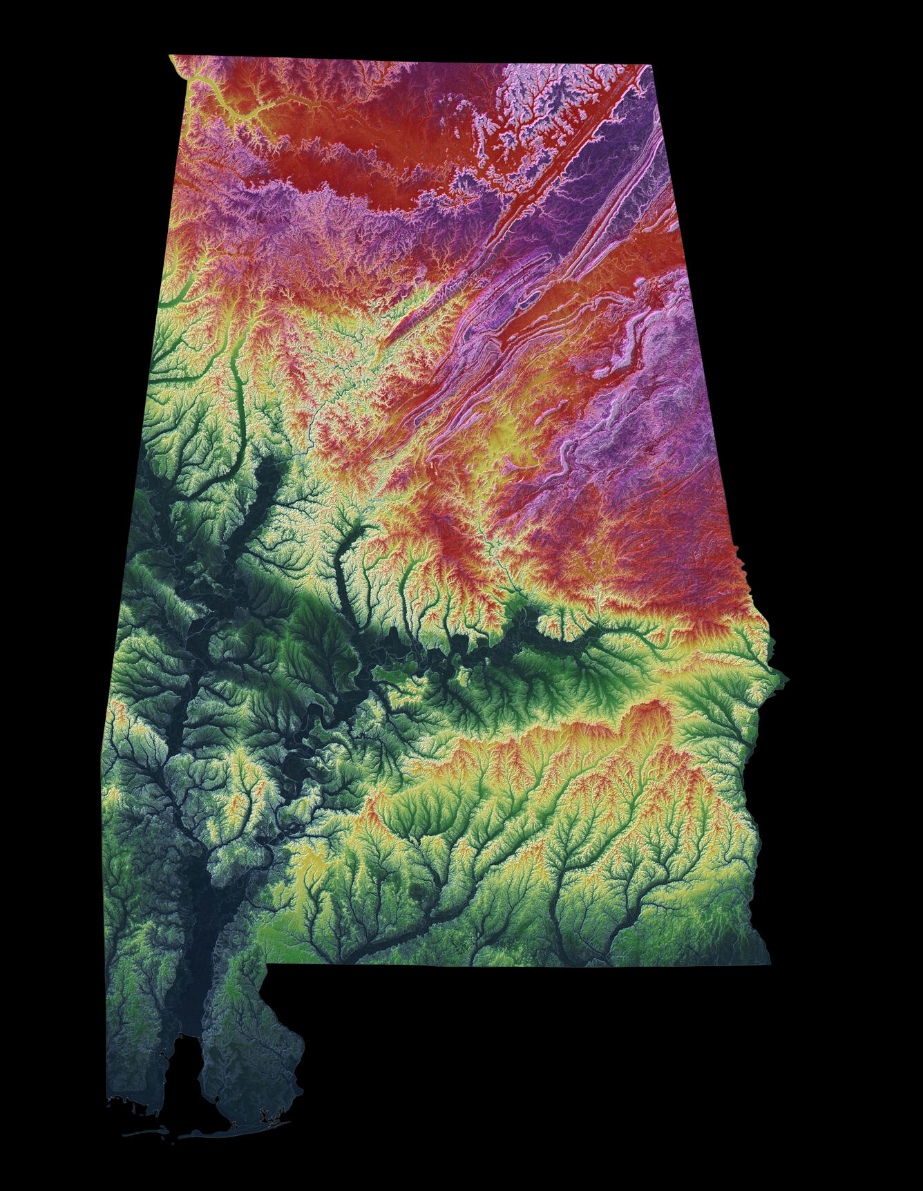
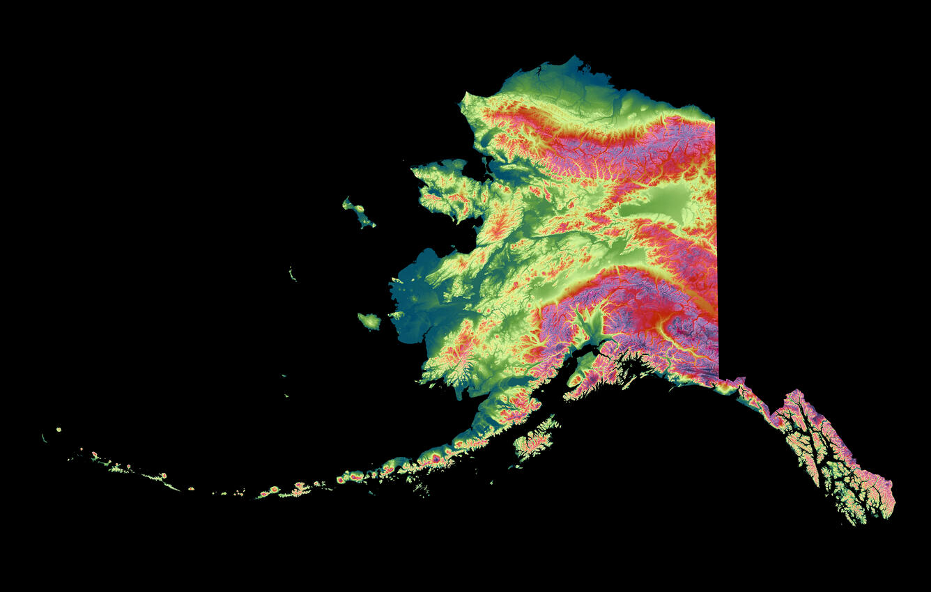
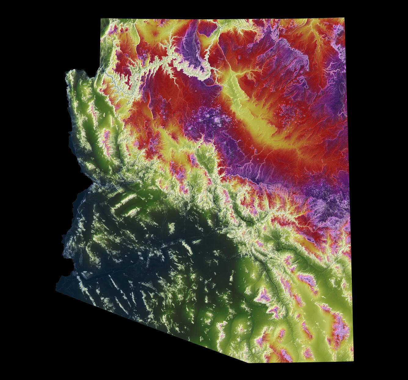
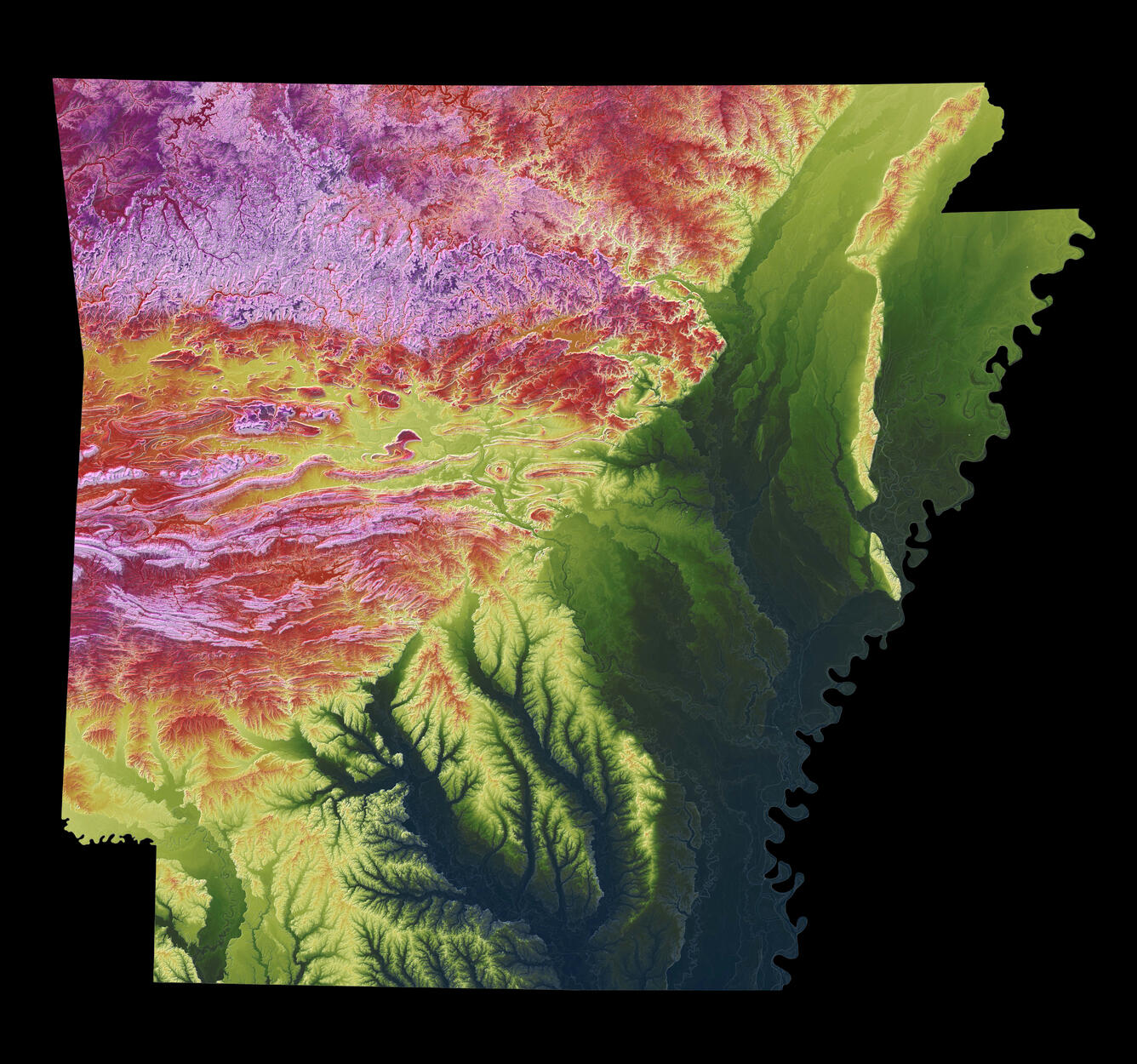
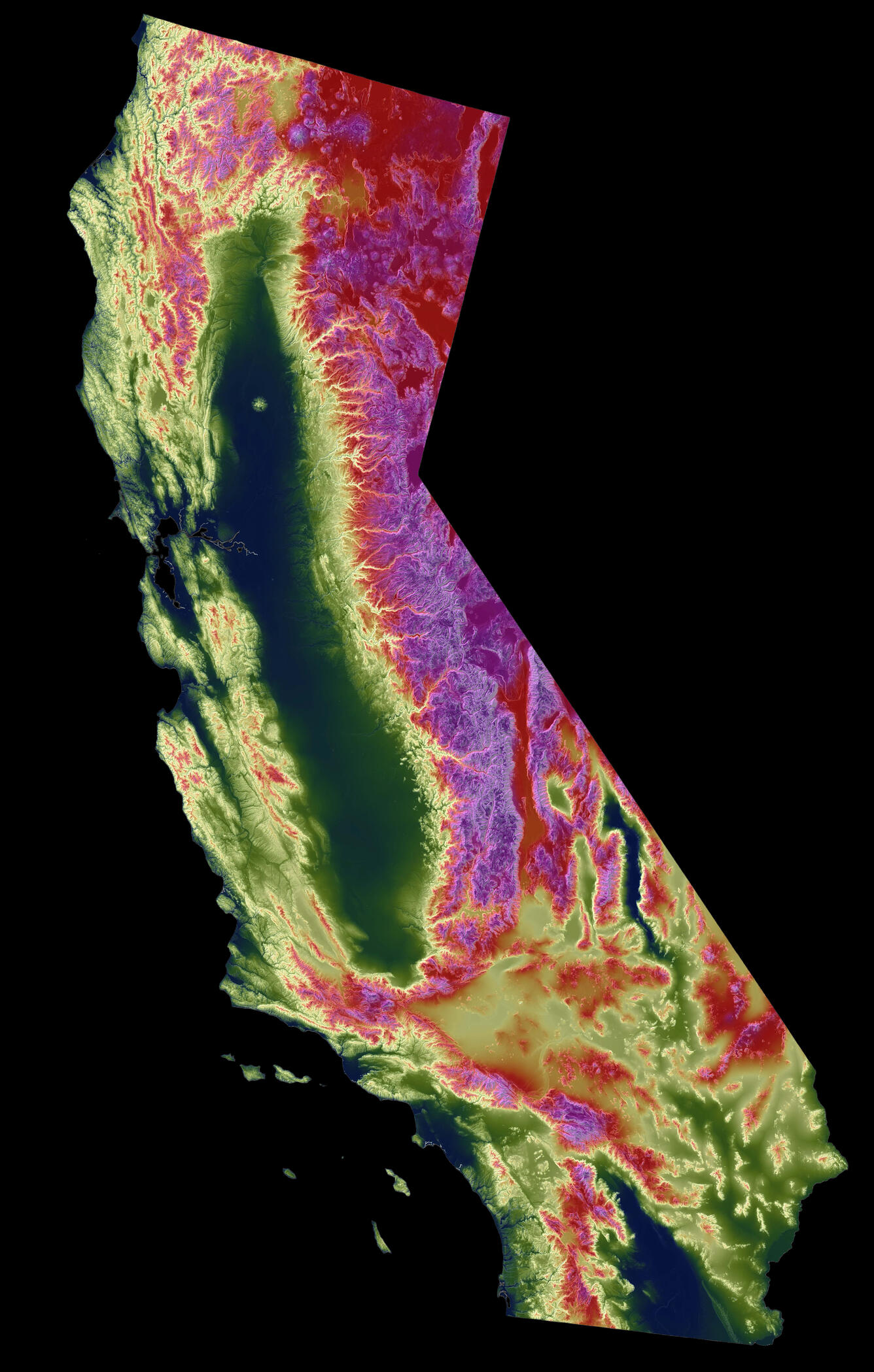

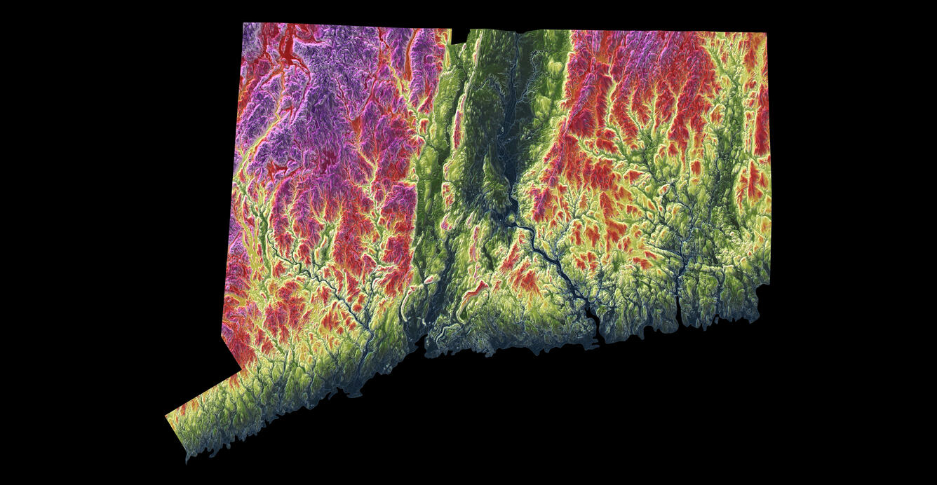
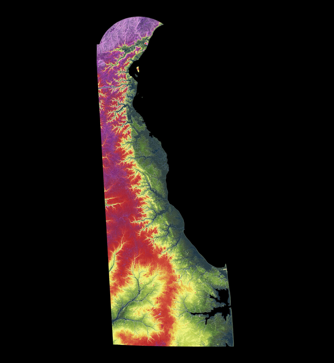
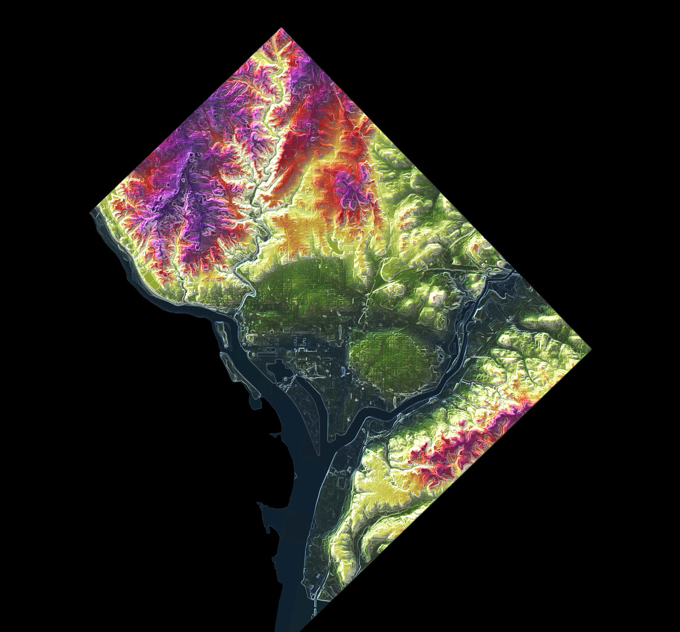
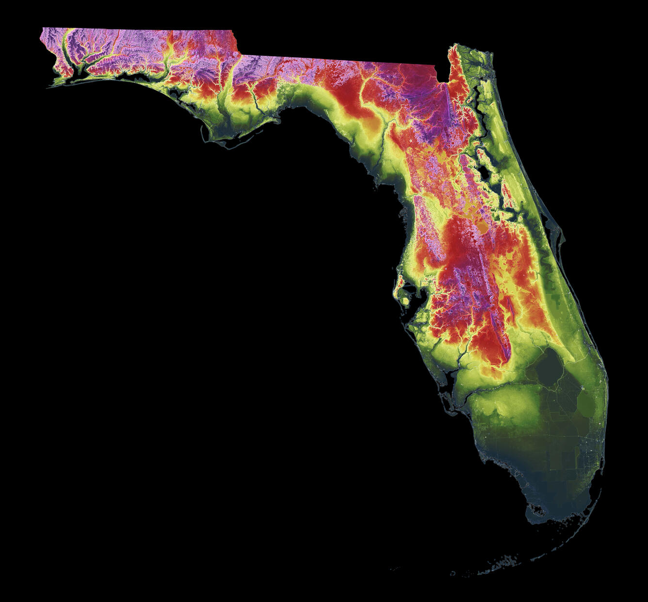
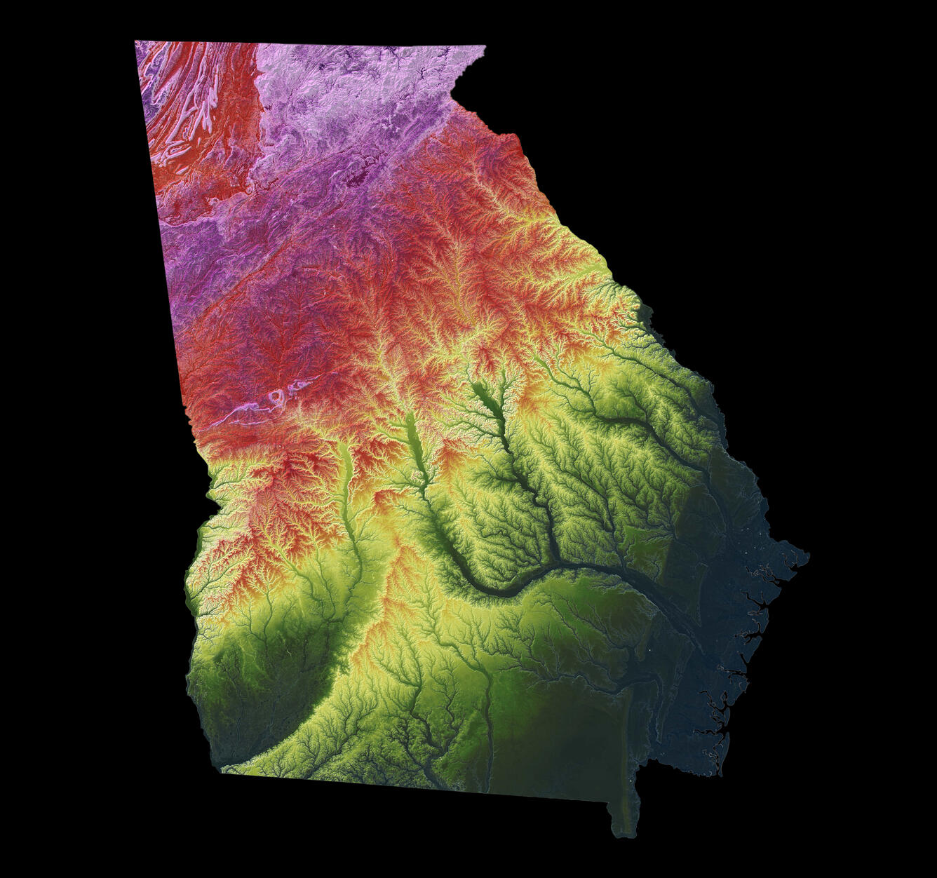

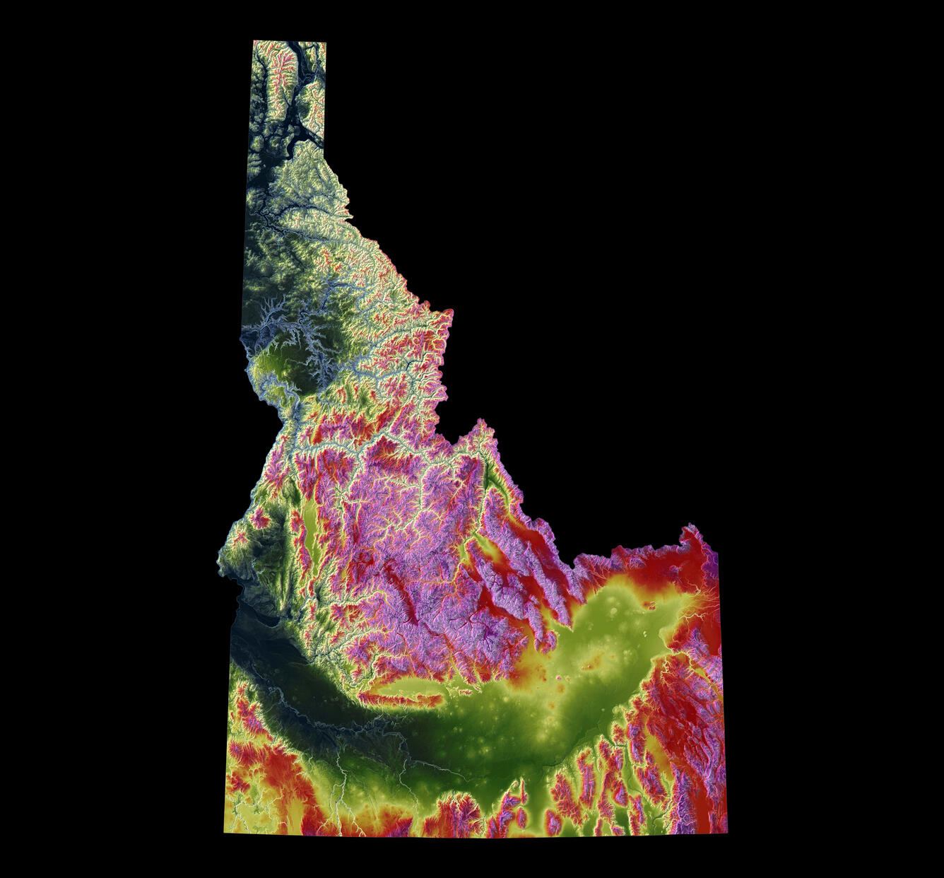
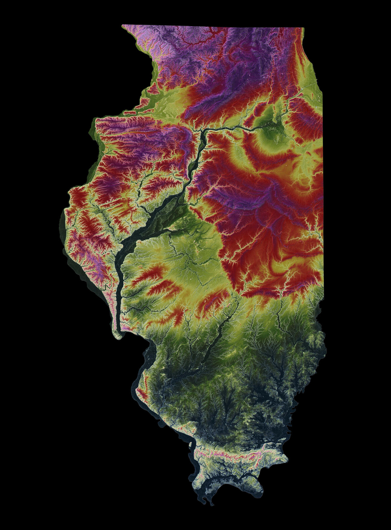
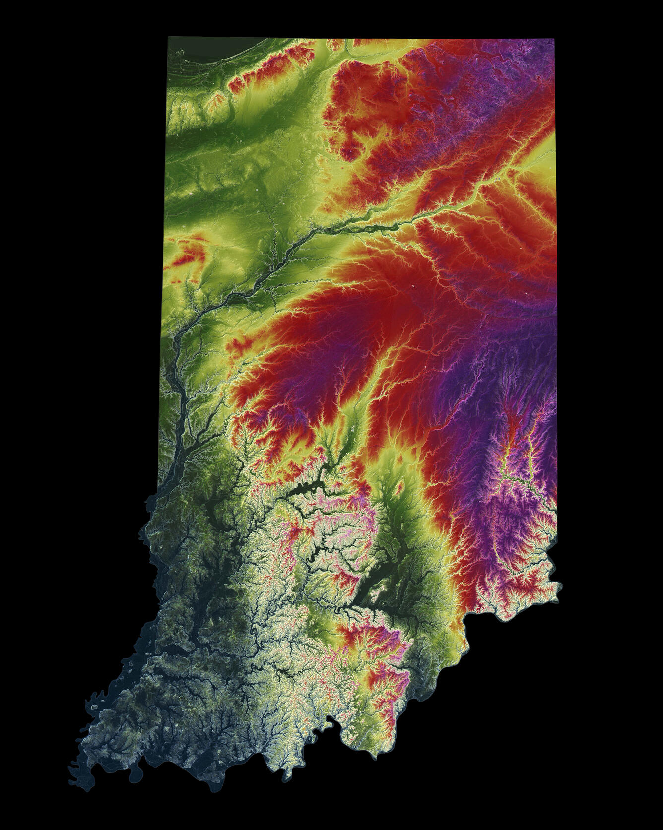
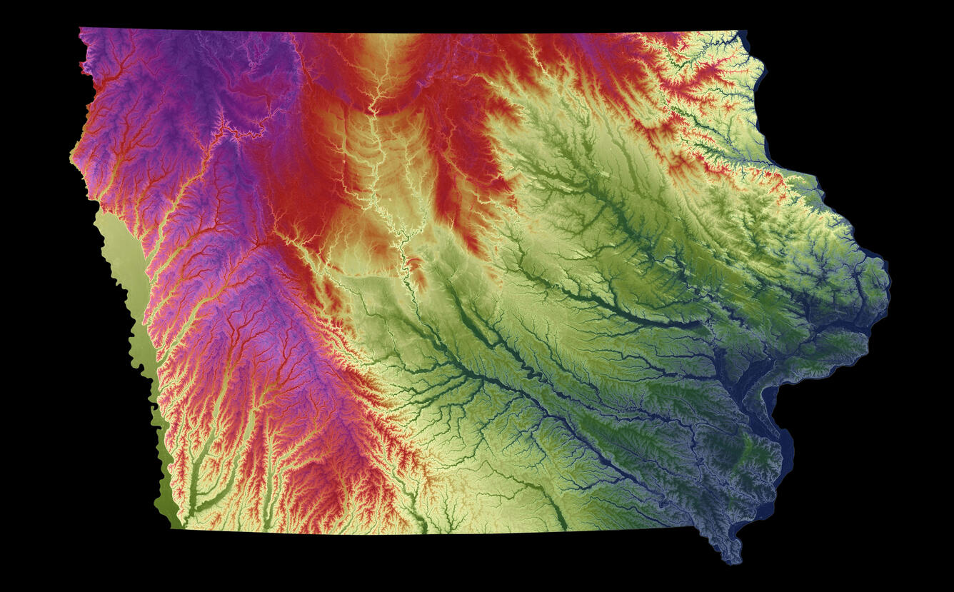
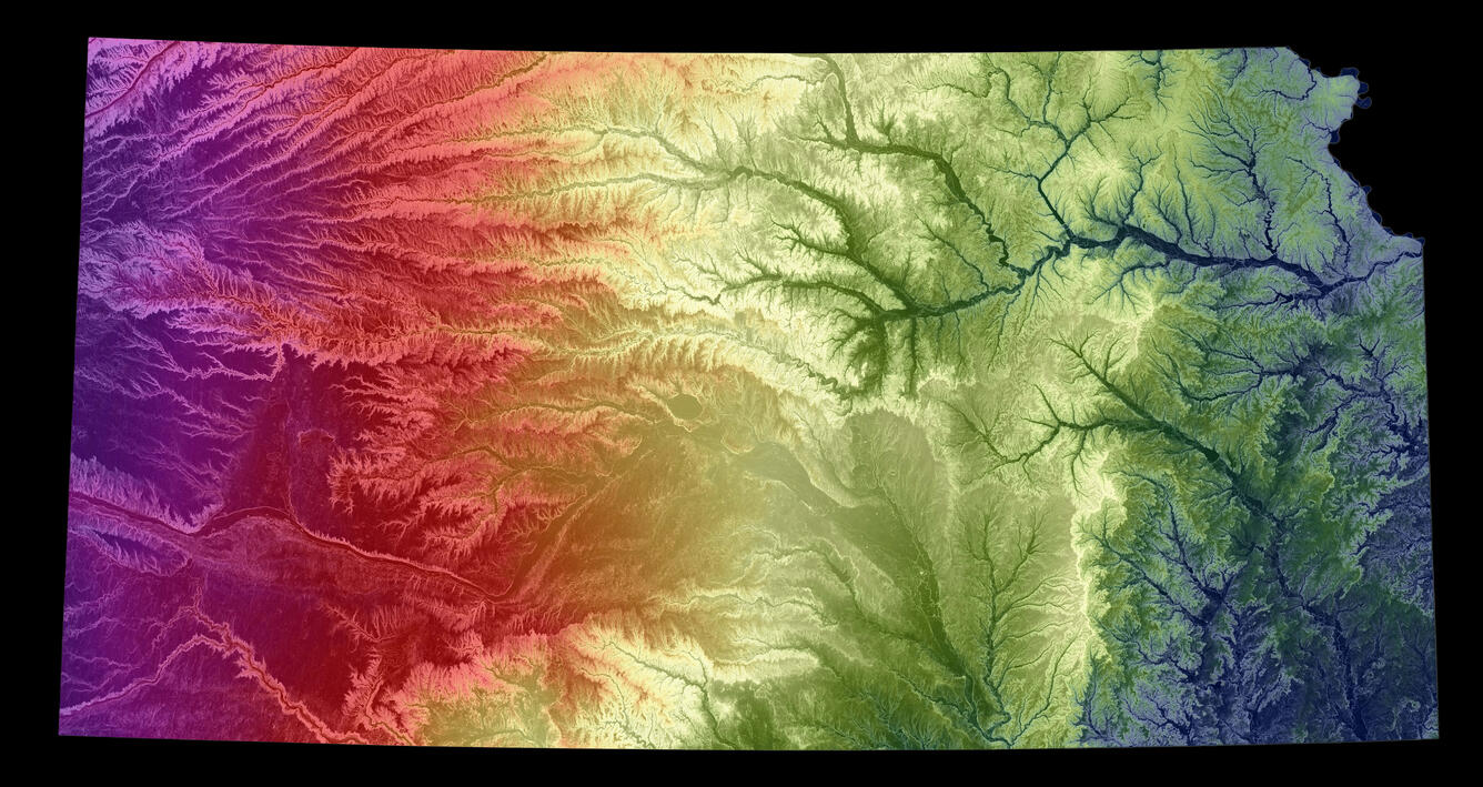
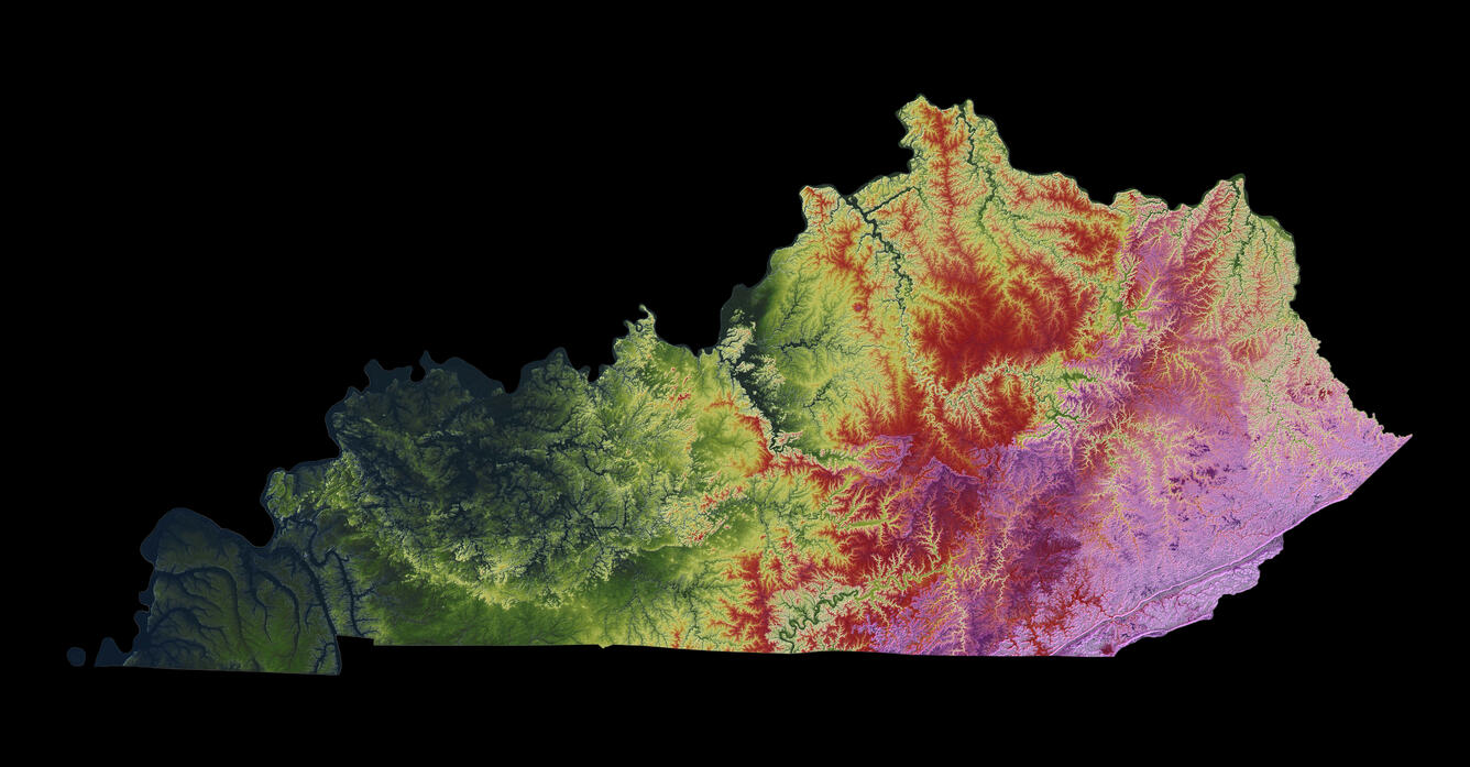
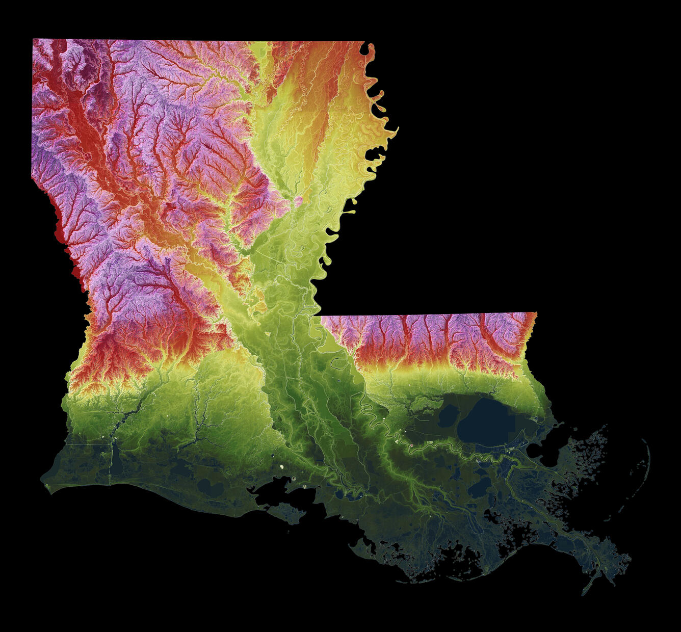
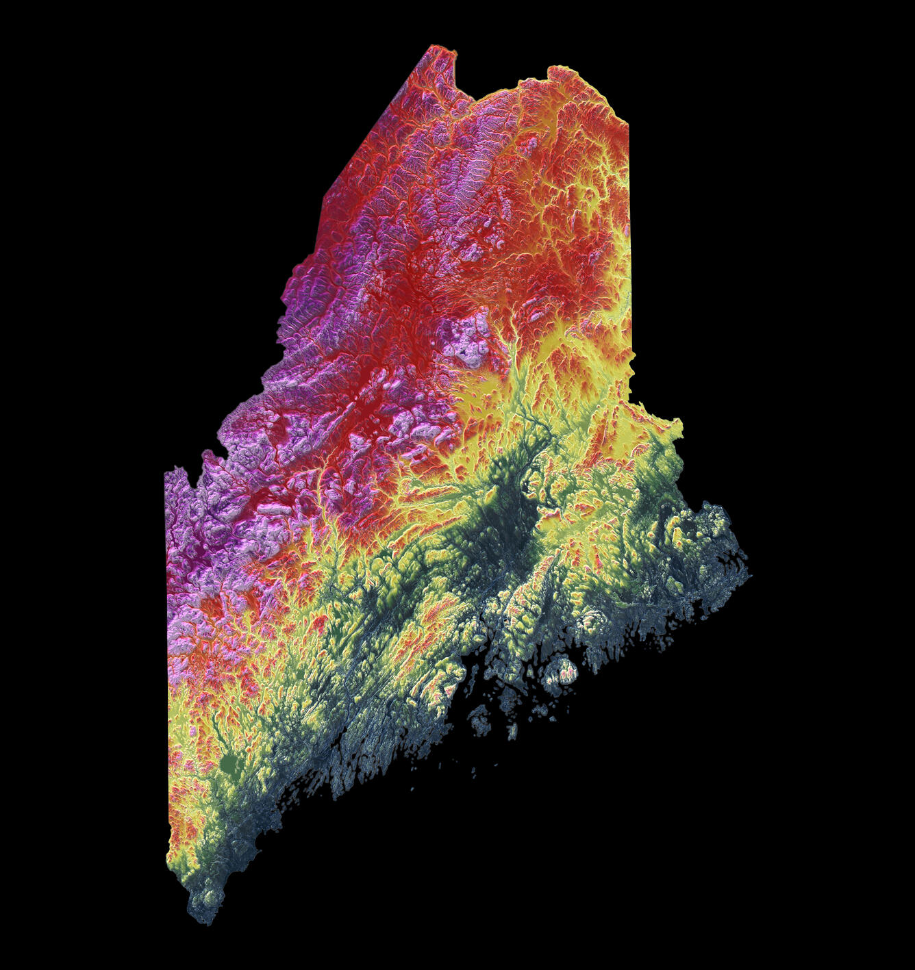
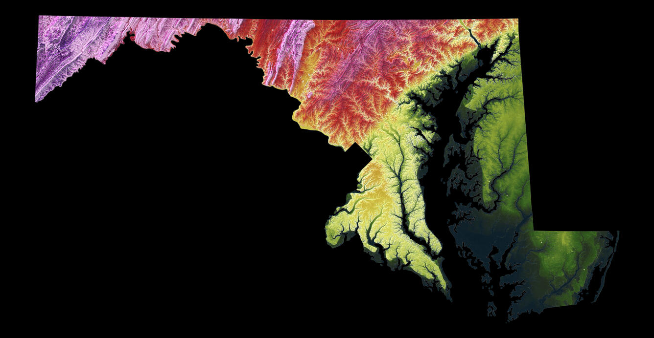
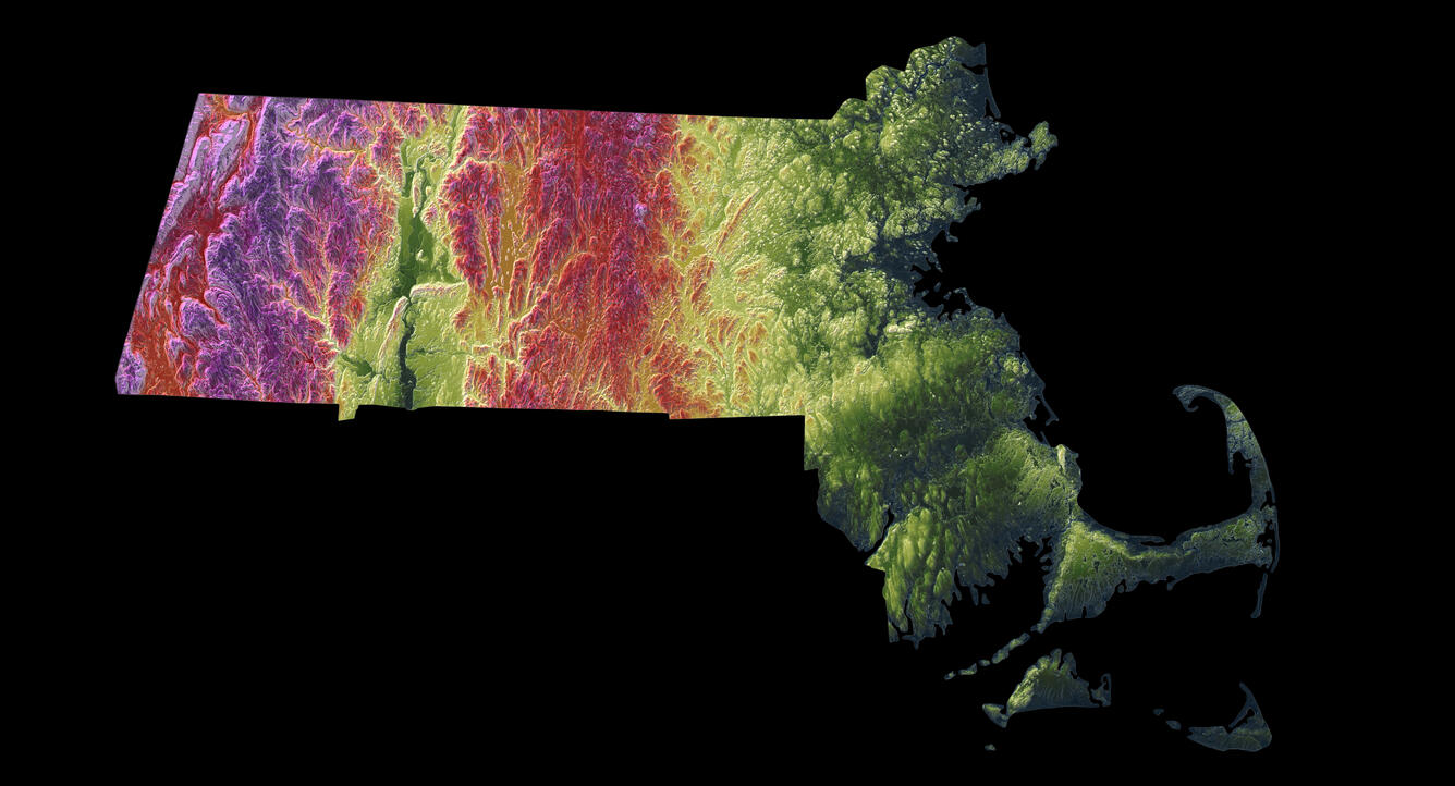
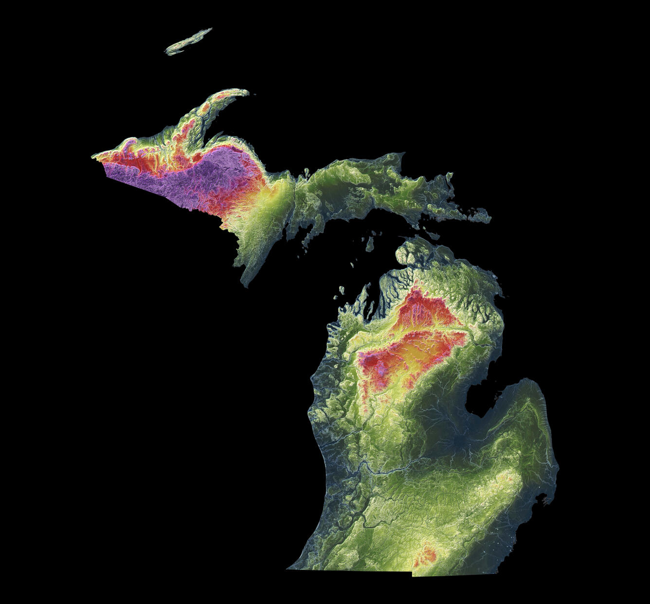
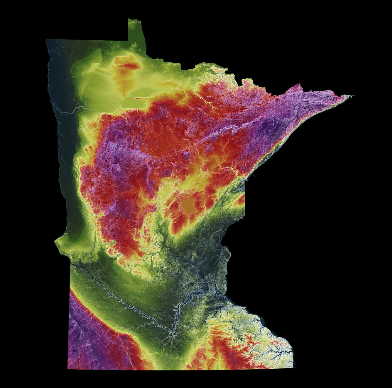
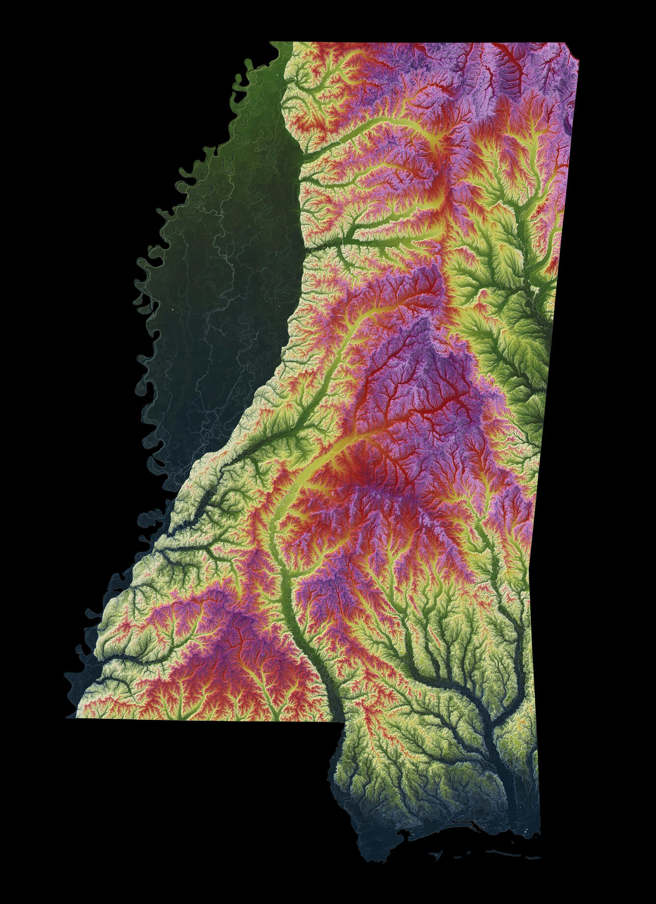
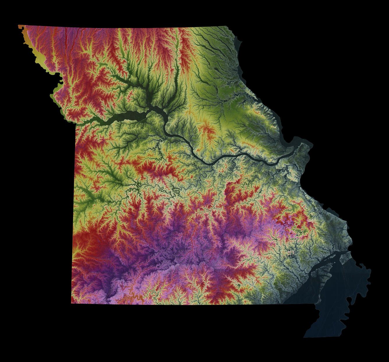
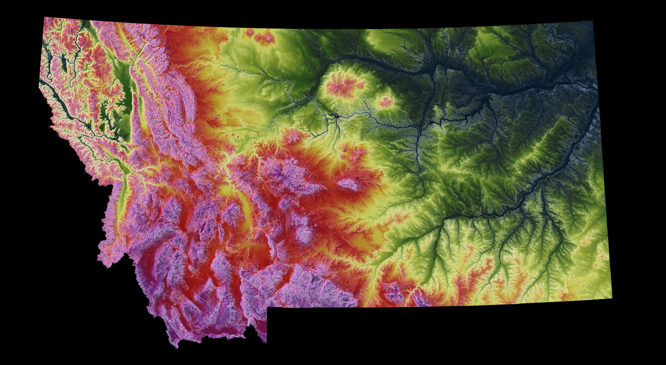
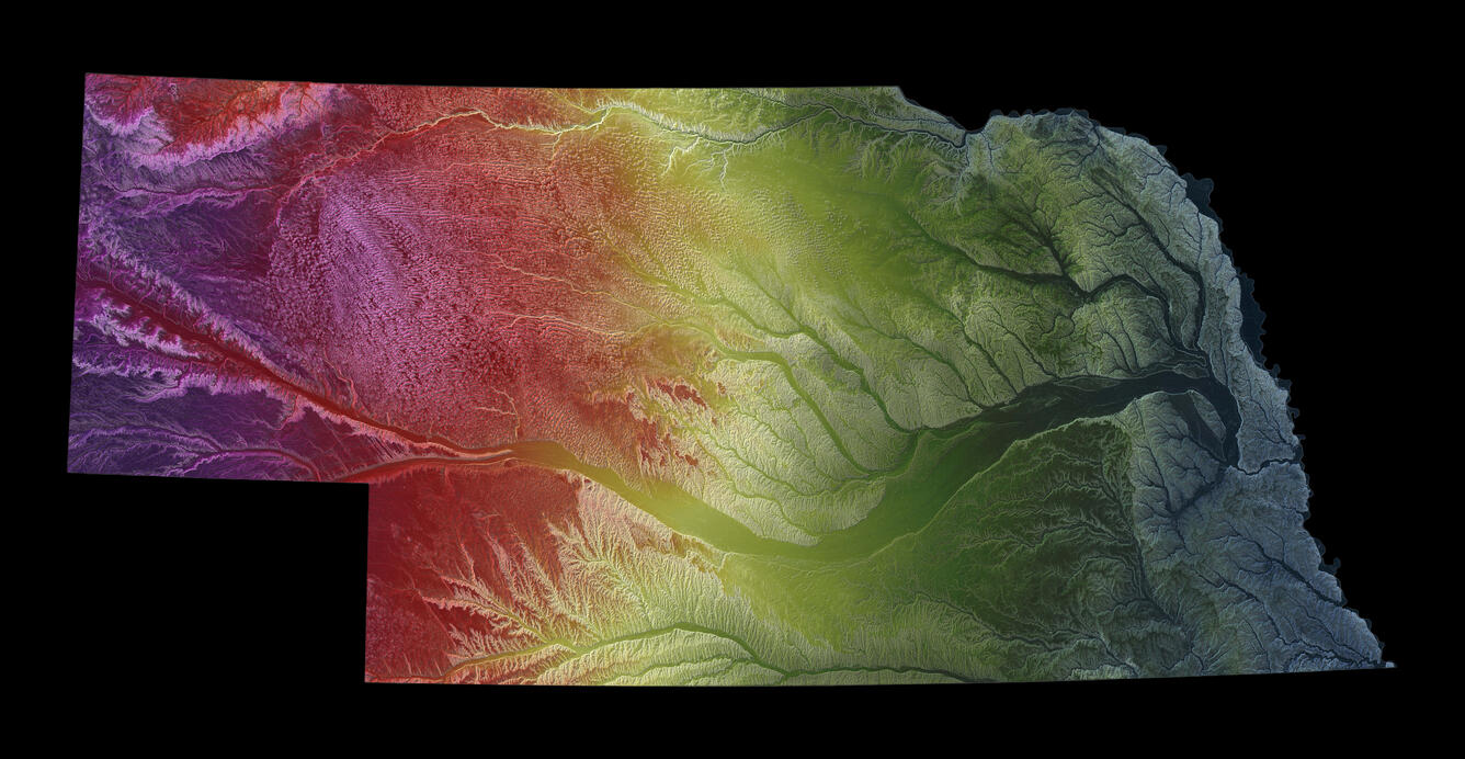
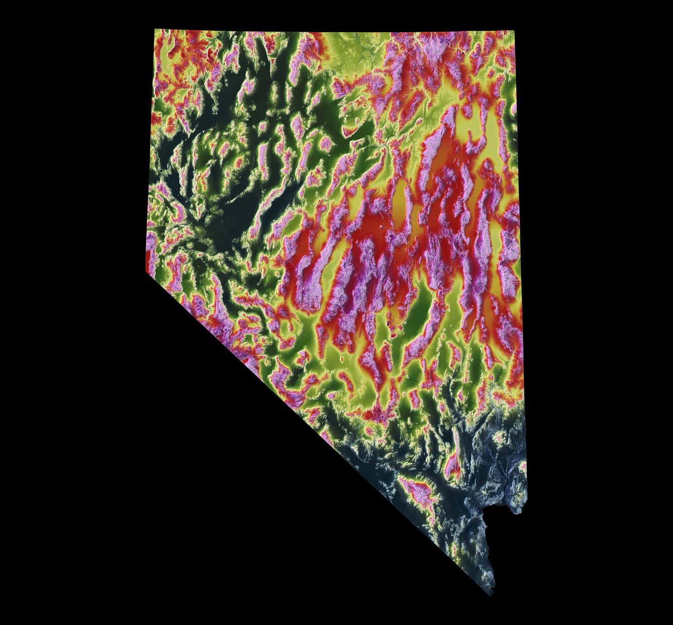
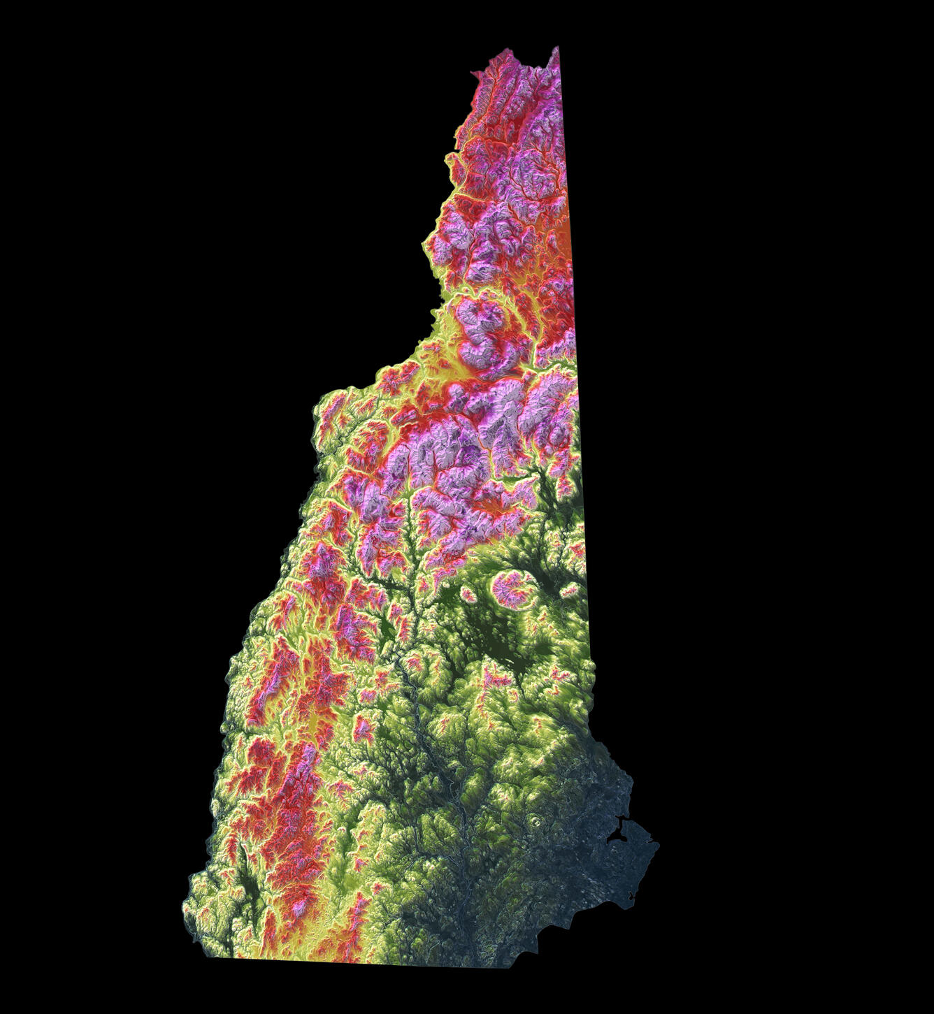
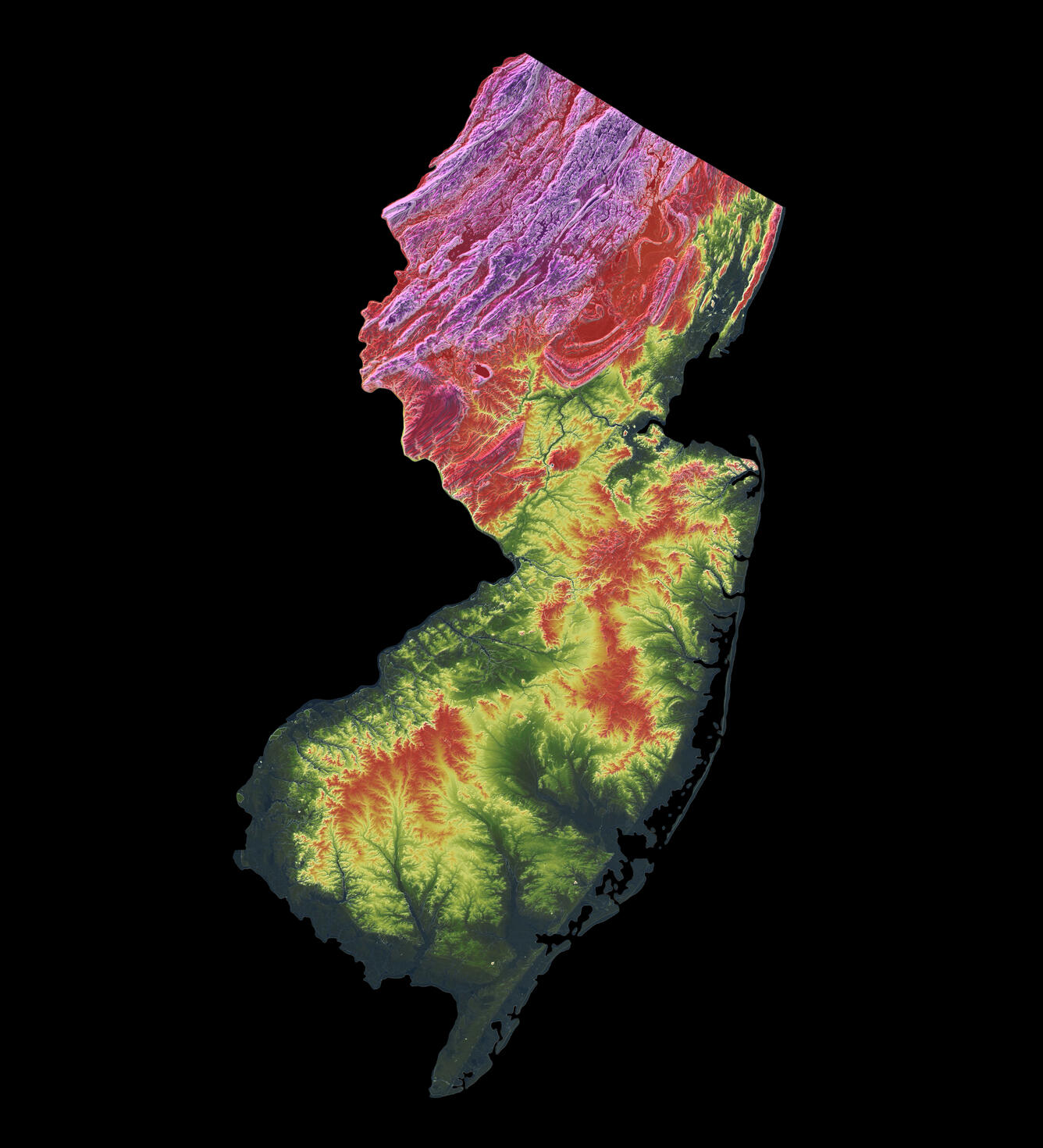
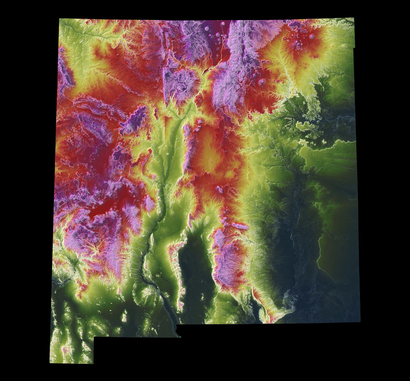
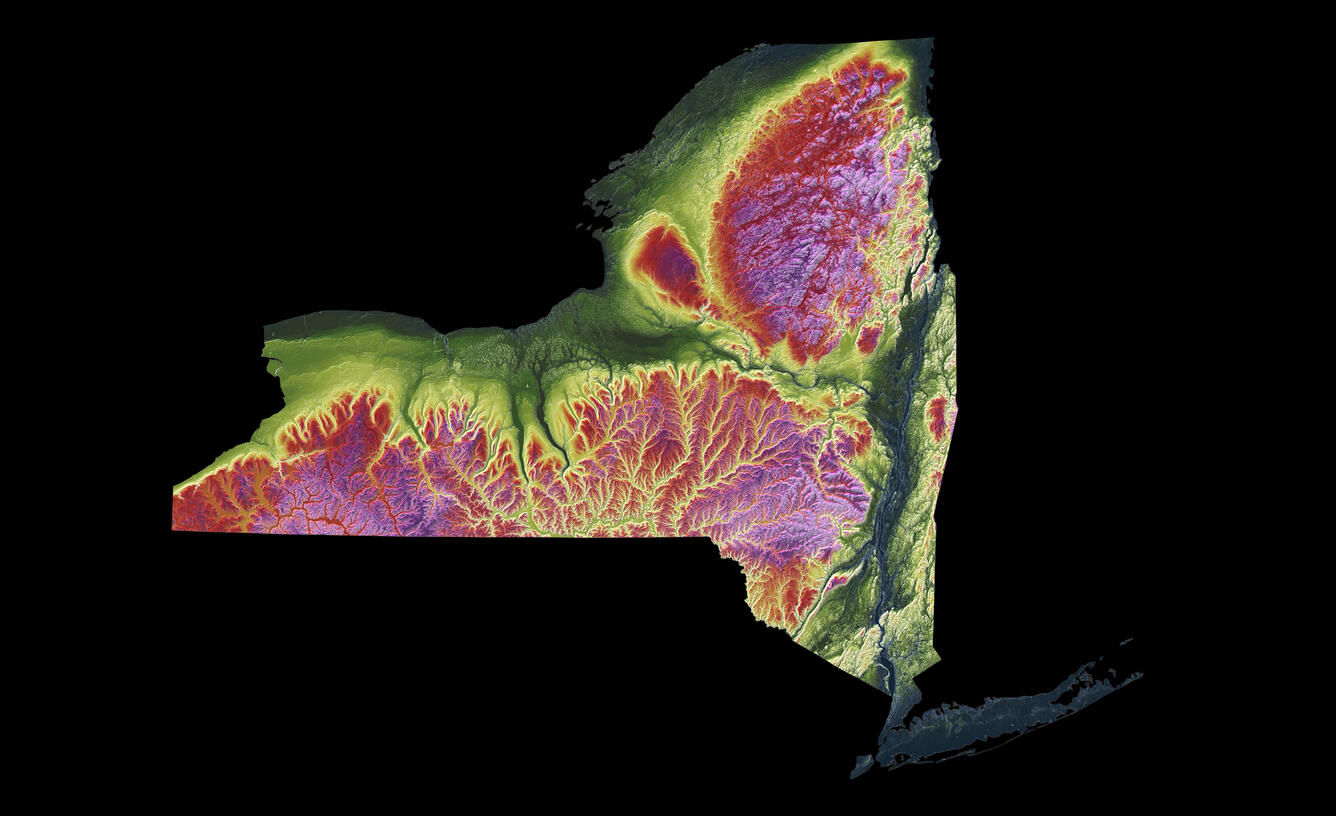
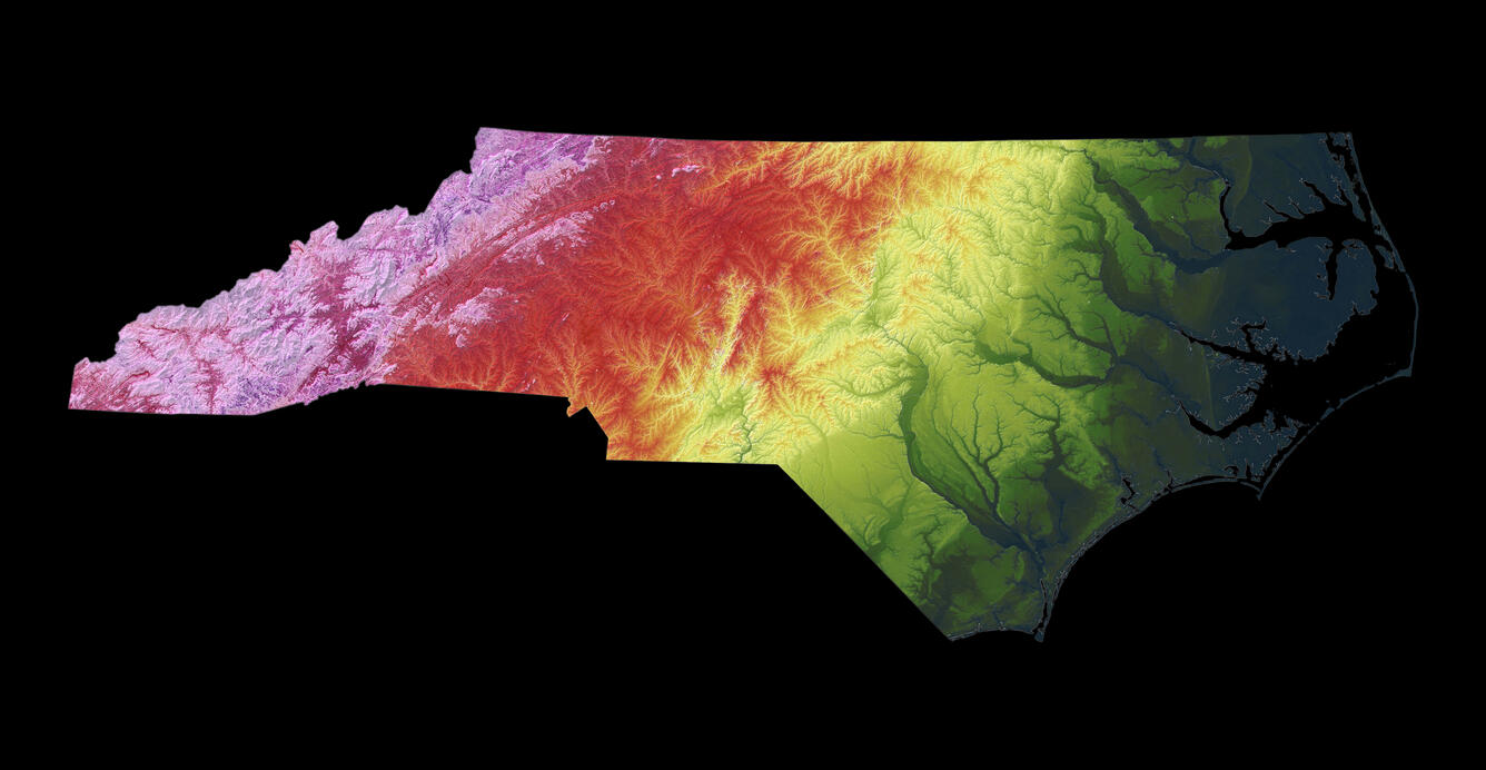
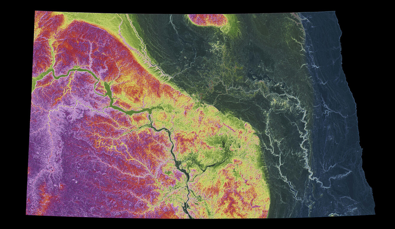
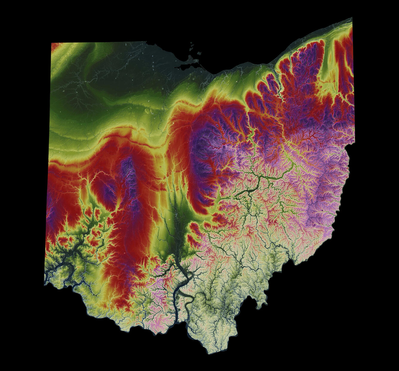
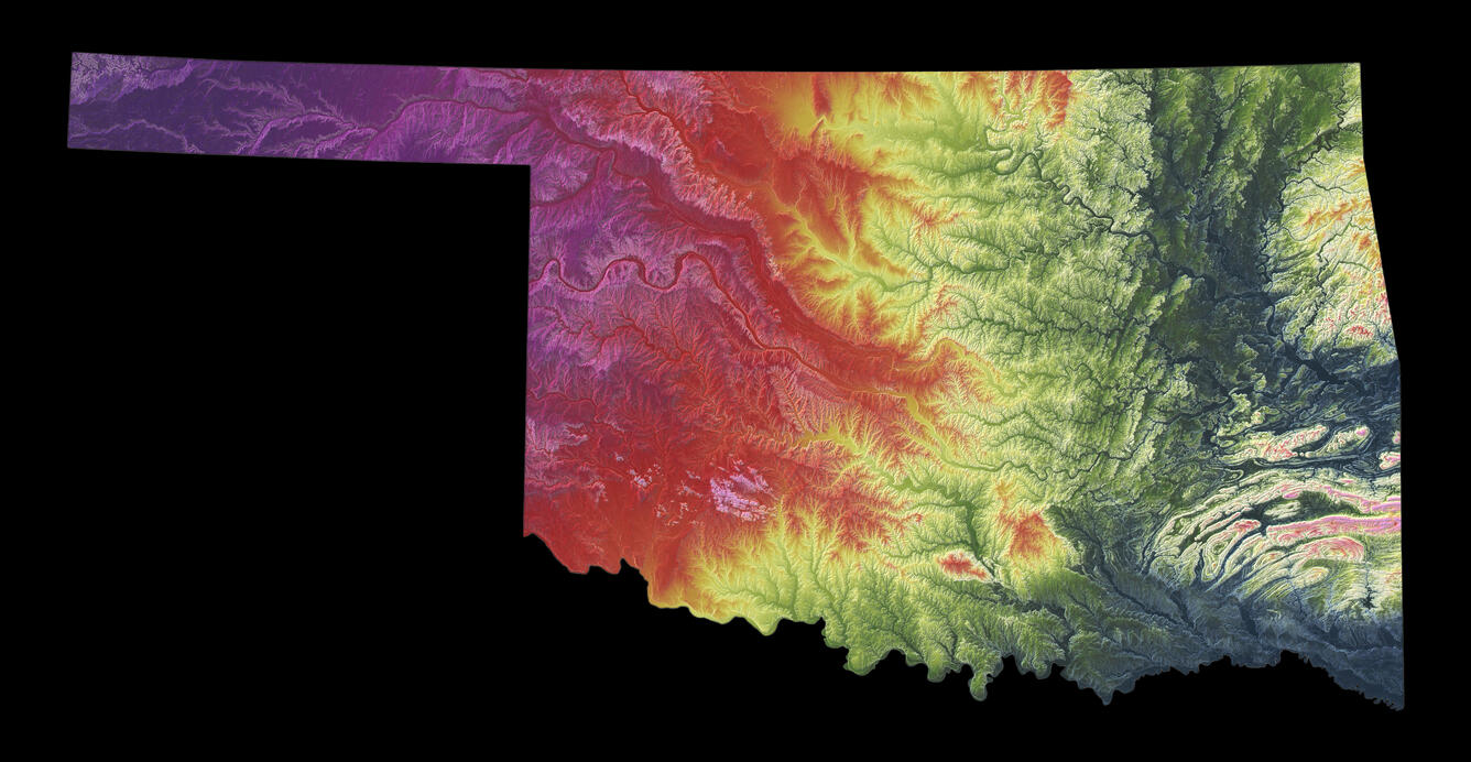
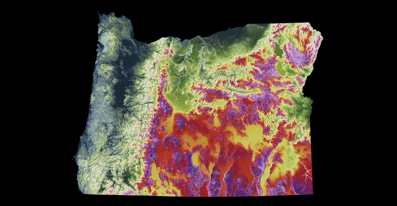
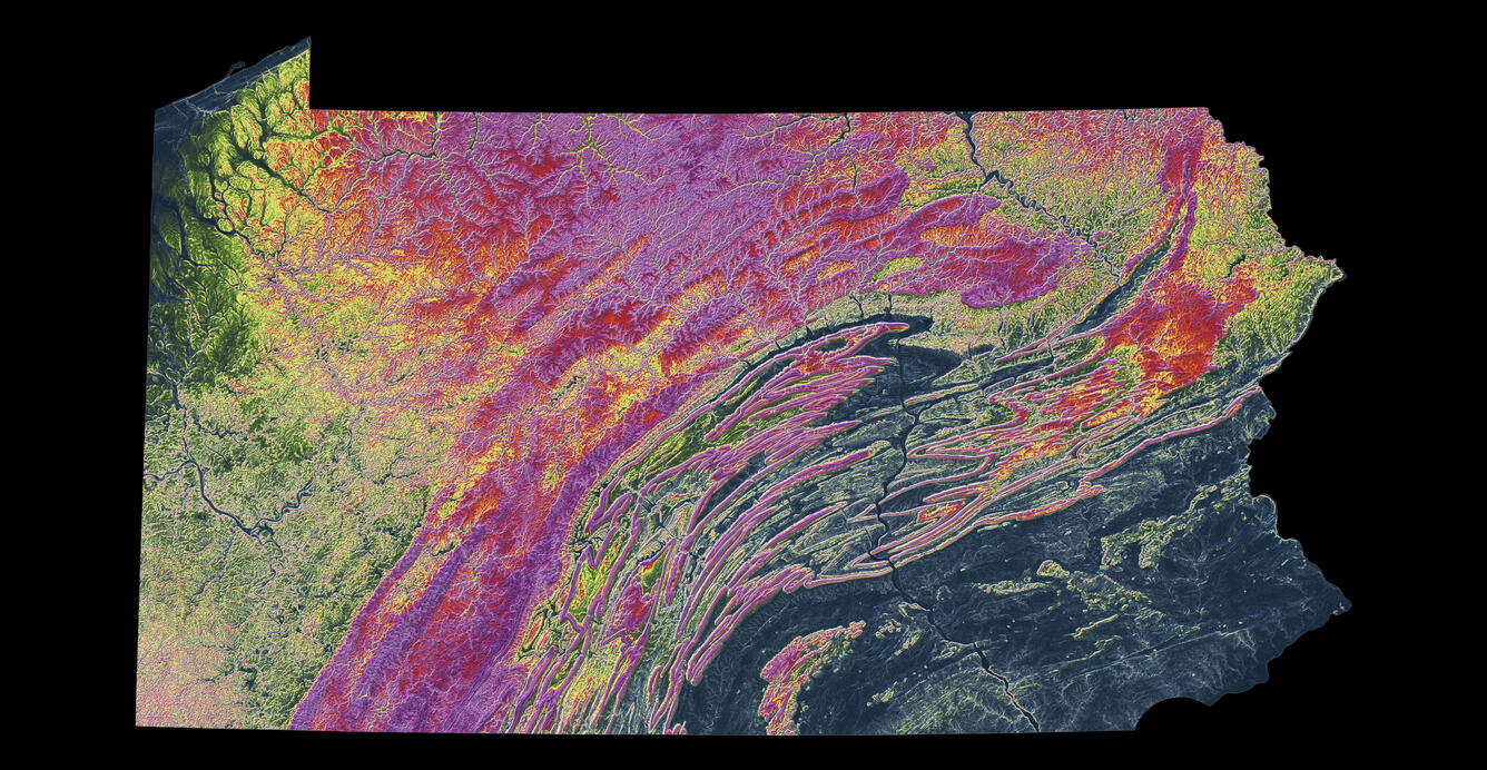
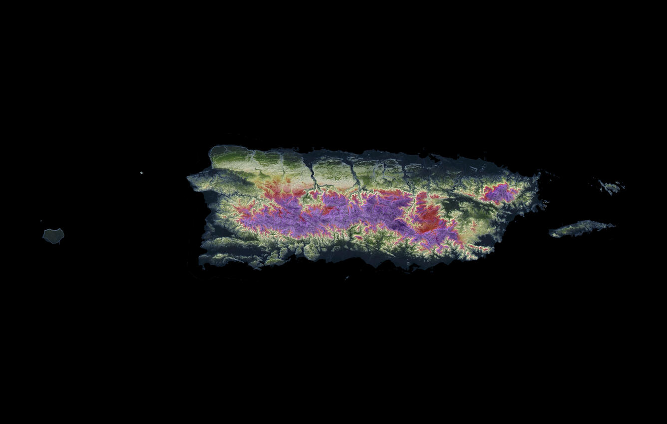
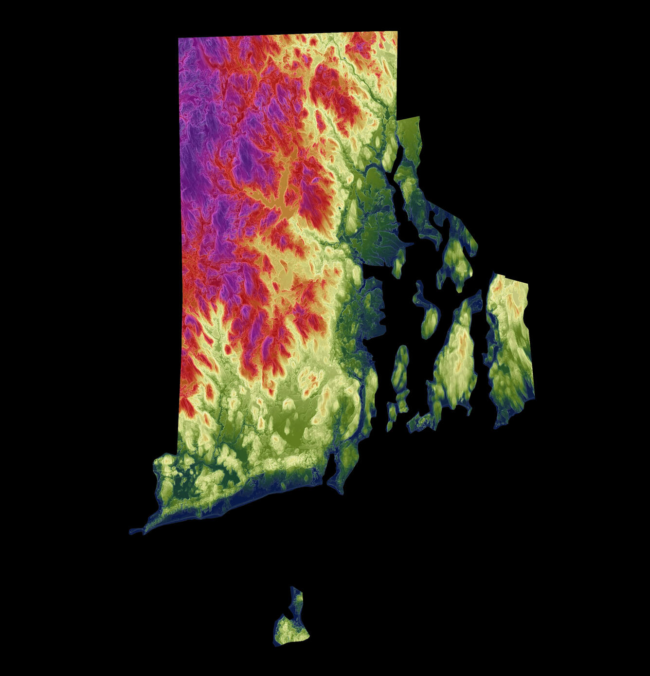
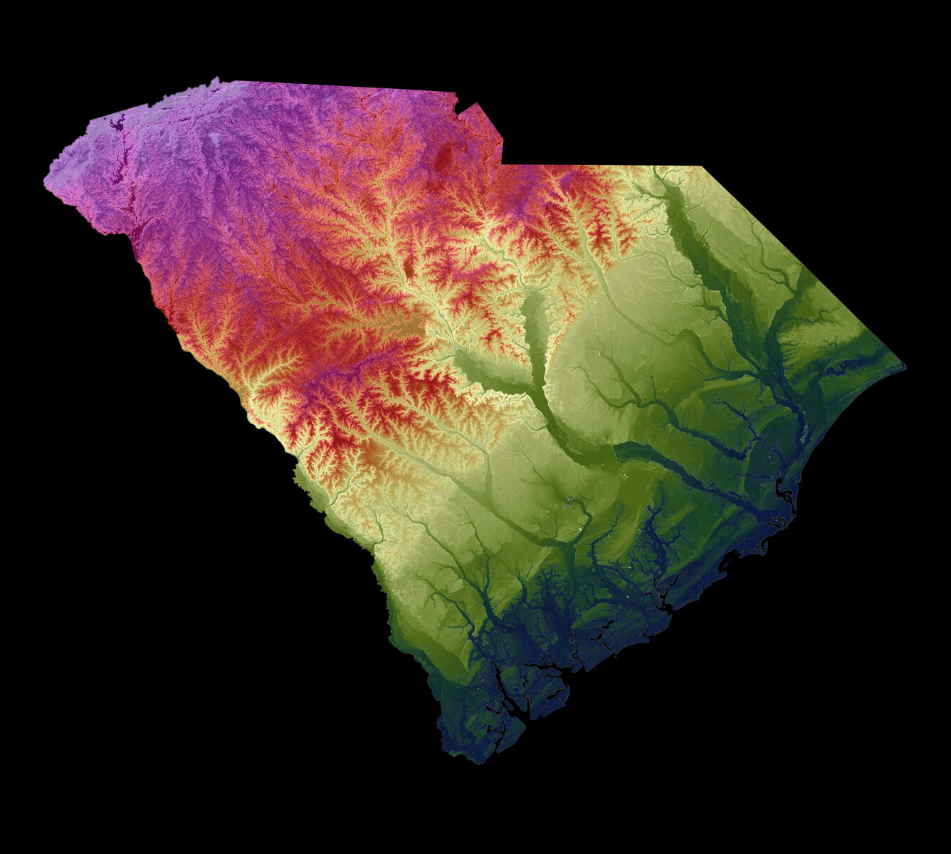
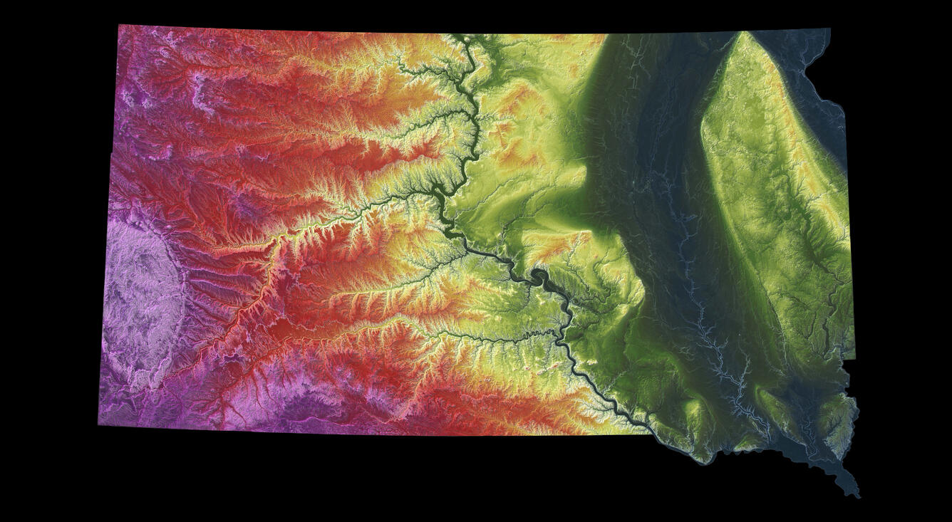
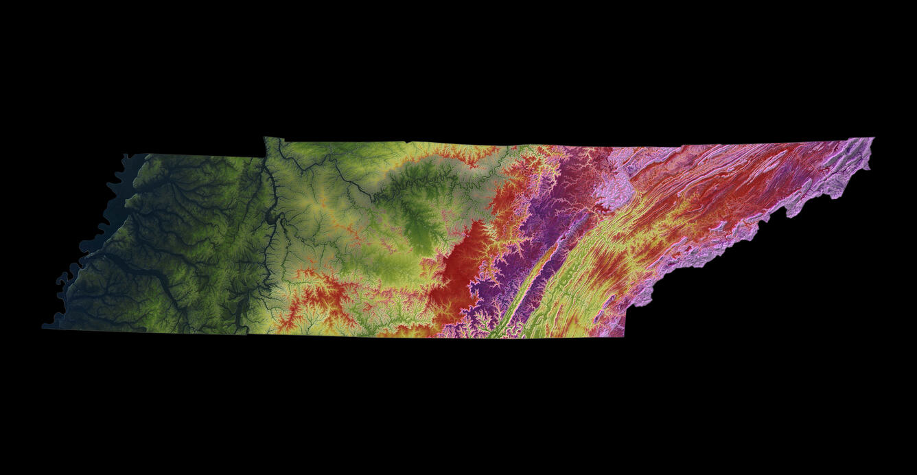
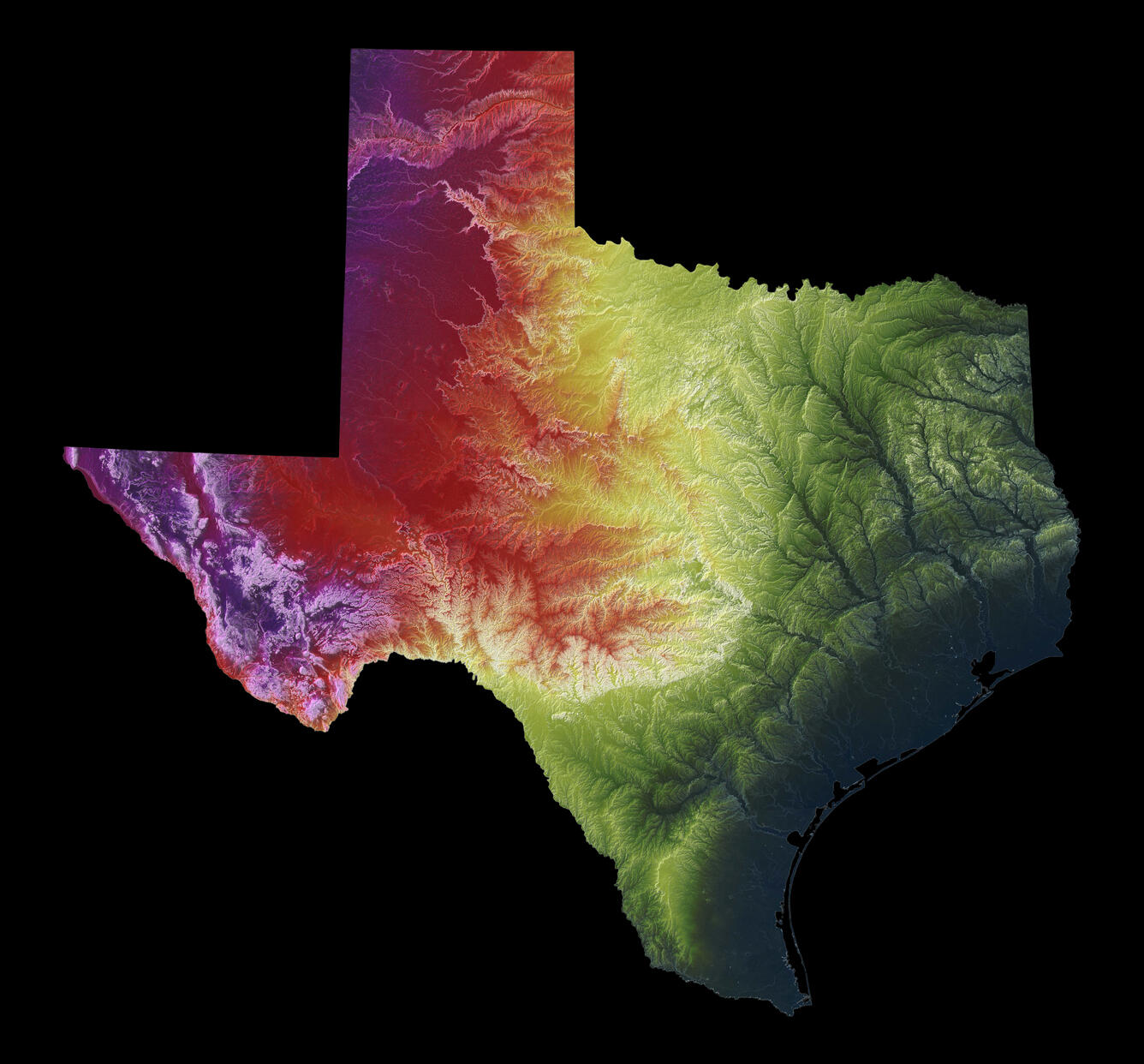
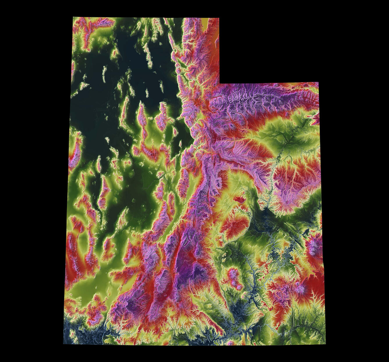
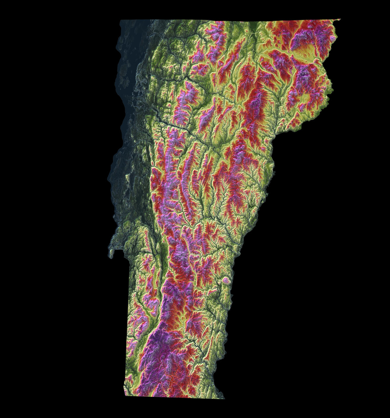
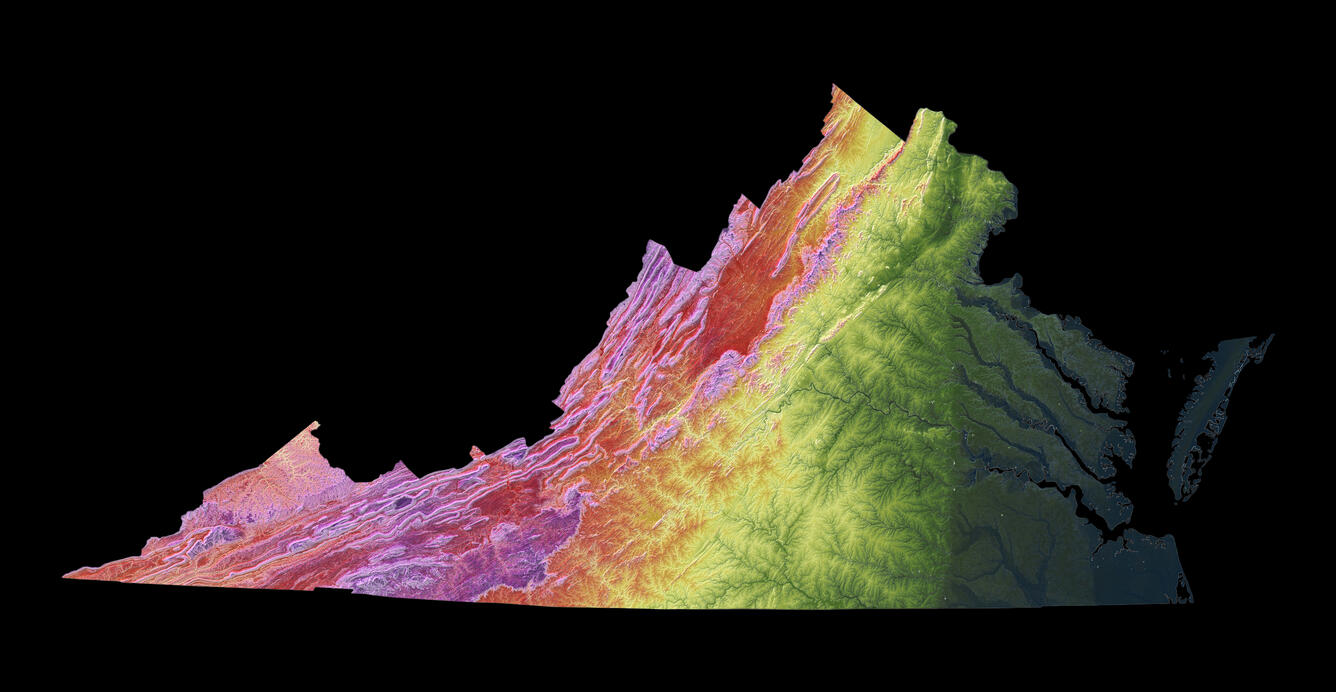
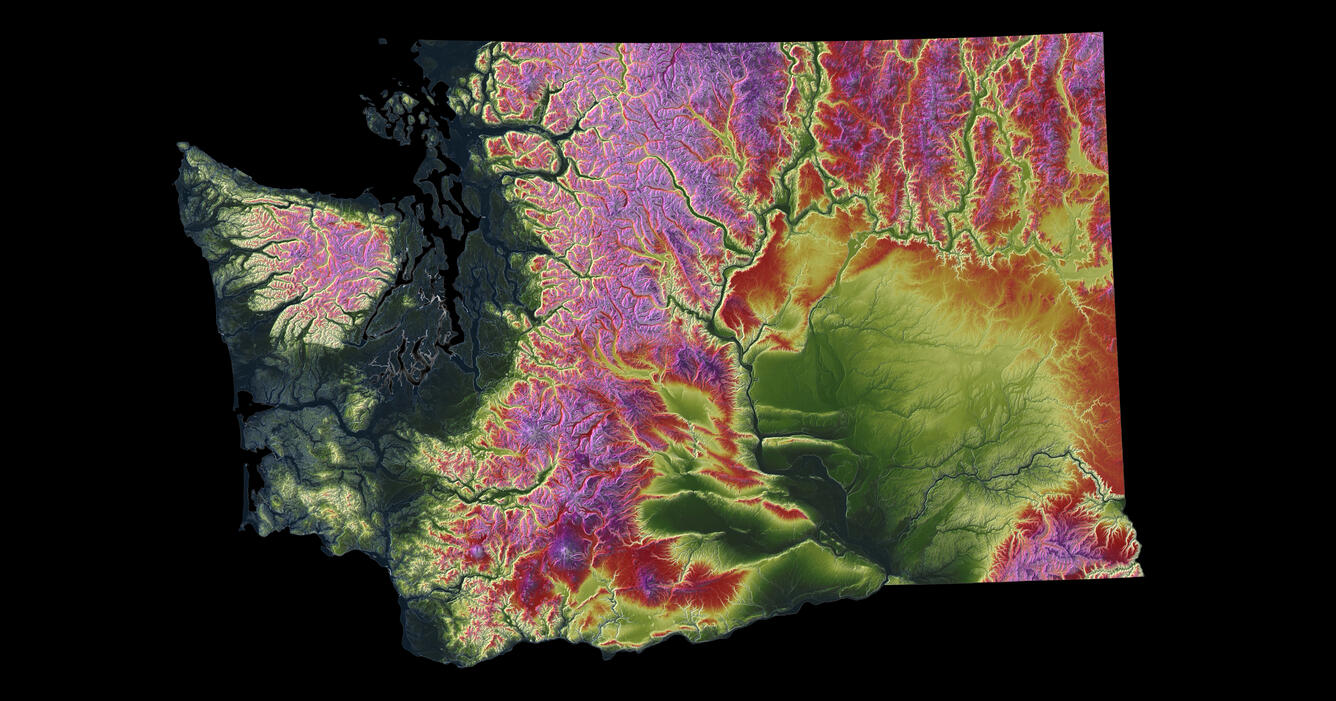
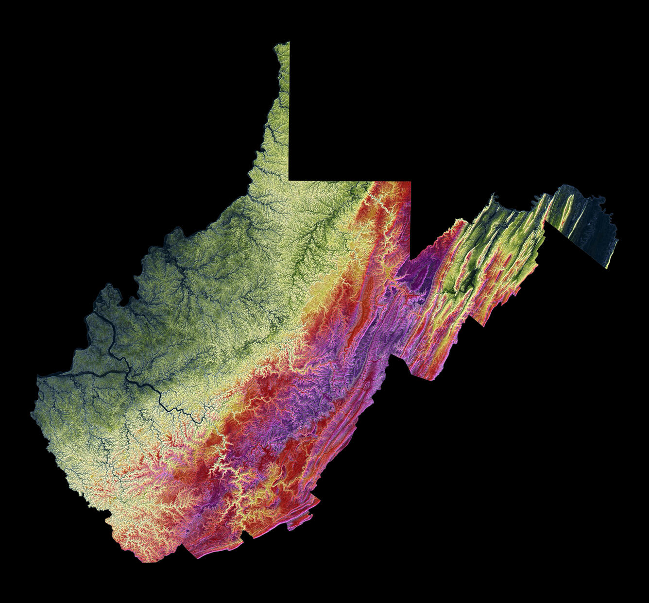
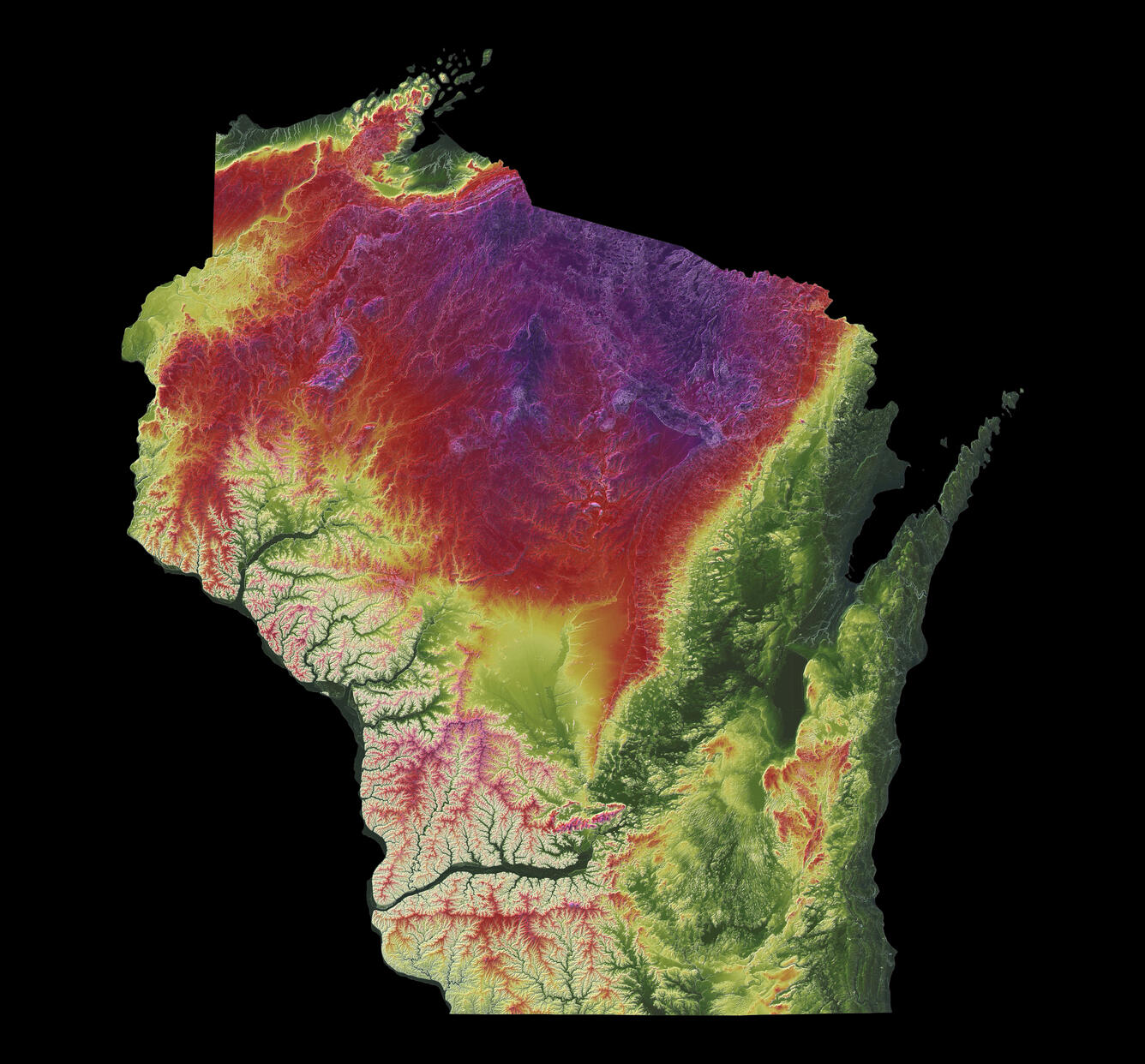
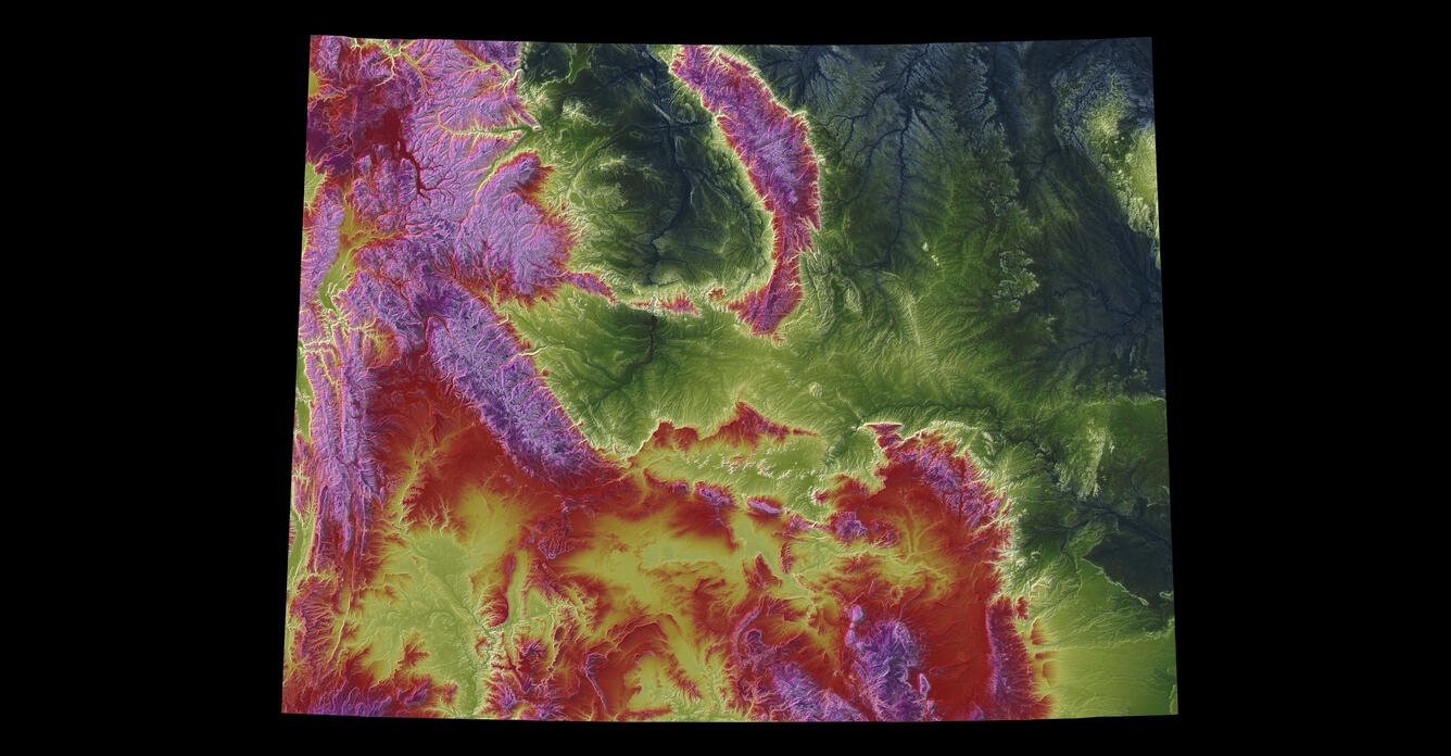
Download maps for all 50 states, Washington DC, Puerto Rico, and/or the Conterminous United States
Choose from poster size (24” x 36”), report size (8.5” x 11”) and/or trading card size (2.5” x 3.5”) maps for download, as well as elevation image-only jpeg files.