U.S. flag

An official website of the United States government

Photo and Video Chronology - Kīlauea - May 3, 2020

May 3, 2020

A look back at Halema‘uma‘u two years ago

image related to volcanoes. See description
The lower East Rift Zone eruption started two years ago, on May 3, 2018. At that time, the lava lake in Halema‘uma‘u, at Kīlauea's summit, had just started dropping in response to the changes in the East Rift Zone. Today, two years later, a new lake is present in Halema‘uma‘u, but formed from water. Many of the monitoring techniques remain the same, however. HVO scientists make routine visual observations, measure the lake level with a laser rangefinder, and track the activity 24/7 with webcams and thermal cameras. USGS photos by C. Parcheta and M. Patrick.

Continued slow rise of water in Halema‘uma‘u

image related to volcanoes. See description
Late afternoon mist moving west across the caldera produced a rainbow above Halema‘uma‘u during today's visit to measure the water level. The water continues to slowly rise, and no significant changes were observed. USGS photo by M. Patrick.
image related to volcanoes. See description
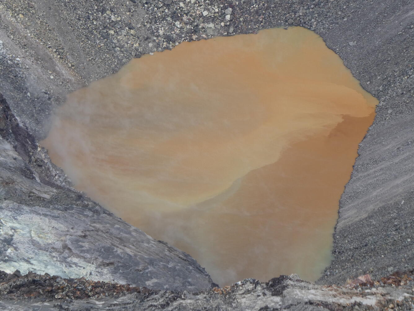
The lake was more brown in color than the last visit, with a sharp color boundary cutting across the lake. Color variations like this are common. USGS photo by M. Patrick.

Get Our News

These items are in the RSS feed format (Really Simple Syndication) based on categories such as topics, locations, and more. You can install and RSS reader browser extension, software, or use a third-party service to receive immediate news updates depending on the feed that you have added. If you click the feed links below, they may look strange because they are simply XML code. An RSS reader can easily read this code and push out a notification to you when something new is posted to our site.