
Richard Batiuk got to know the Chesapeake Bay in the early 1970s. During visits with his friends and family, they would swim and boat, and fish would practically jump aboard. He was young but knew he wanted to live and work on the bay.
“I had the impression of an extremely productive and beautiful system,” said Batiuk, the U.S. Environmental Protection Agency’s (EPA) Associate Director for Science, Analysis, and Implementation with the Chesapeake Bay Program. “I didn’t see what was under the surface.”
By the mid-1980s, when Batiuk relocated to the bay, its troubles had surfaced. Increased nutrients caused low oxygen (hypoxia) in the bay, suffocating fish and other aquatic species.
“The Chesapeake hit its low point when I first became professionally involved,” Batiuk said. “Widespread losses of underwater grasses, low dissolved oxygen, reduced water clarity, and Hurricane Agnes had pushed the bay over the edge. Development, fertilizer, millions of people moving in, and limited waste-water treatment technology caused the ecosystem to bottom out.”


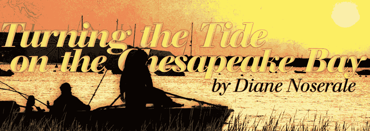
The Chesapeake Bay is extraordinary; its watershed includes more than 3,600 species of fish, wildlife, and plants. The bay produces an annual seafood harvest of about 500 million pounds, according to the Chesapeake Bay Foundation, making it third in the Nation, behind only the Atlantic and Pacific Oceans.
In 1983, the Chesapeake Bay Program was formed to improve water quality. The program is a partnership between university, State, and Federal experts, including the U.S. Geological Survey (USGS). Despite strict standards for protecting living resources and extensive efforts in the decades that followed, hypoxia persisted.
Scientific research was needed to understand natural versus human-induced changes and develop a sustainable resource-management plan. The USGS has a unique capability that allows them to reconstruct past environments and water quality by using paleoclimate science. European settlement dates back 400 years, so the USGS—working with partners—examined the thick sediments beneath the surface to construct climate records. To carry out this research, USGS scientists boarded the French national research vessel Marion Dufresne as part of a mission to extract long sediment cores from the bay.
The USGS found that during the last 5,000 years, parts of the bay were hypoxic during wet years, and hypoxia increased after the 18th century because of human influences. The bay’s natural vulnerability and growing human imprint underscored the need to reset standards and refocus efforts to minimize hypoxia.
“[The] USGS provided a scientific basis to define natural conditions and not make standards under- or over-protective but ensure they were realistic to achieve,” said Batiuk.
“Based on USGS coring work, we could say that the strict water-quality standards were unattainable in the deepest parts of the bay, even well before [English explorer] John Smith first came,” he said. “The system naturally has lots of nutrients and even low dissolved oxygen in the deeper waters, but all [are] part of a very productive estuary.”


The USGS’s paleoclimate science, combined with other research, helped set the bay’s “pollution diet”—its Total Maximum Daily Load (TMDL). The Chesapeake Bay Watershed Agreement, signed in 2014, outlines acceptable dissolved oxygen levels and sets TMDLs for nitrogen, phosphorus, and sediment.
In September 2016, the EPA and the USGS revealed new scientific evidence that actions taken across six States and the District of Columbia were making a difference. These actions included upgrading wastewater treatment, reducing farmland runoff, and lowering emissions.
“It has been a struggle over three decades [with] the human population that increased 50 percent from 12 million to 18 million,” said Batiuk. “But we just released information with USGS showing about a dozen indicators have taken a turn for the better over the long term. [With] that human tide, we’re making a difference in a system that needs a big wallop of nutrient and sediment reductions to see a response.”


For more information, contact Virginia Burkett, USGS Associate Director for Climate and Land Use Change, at virginia_burkett@usgs.gov.
Read more stories about USGS science in action.
