
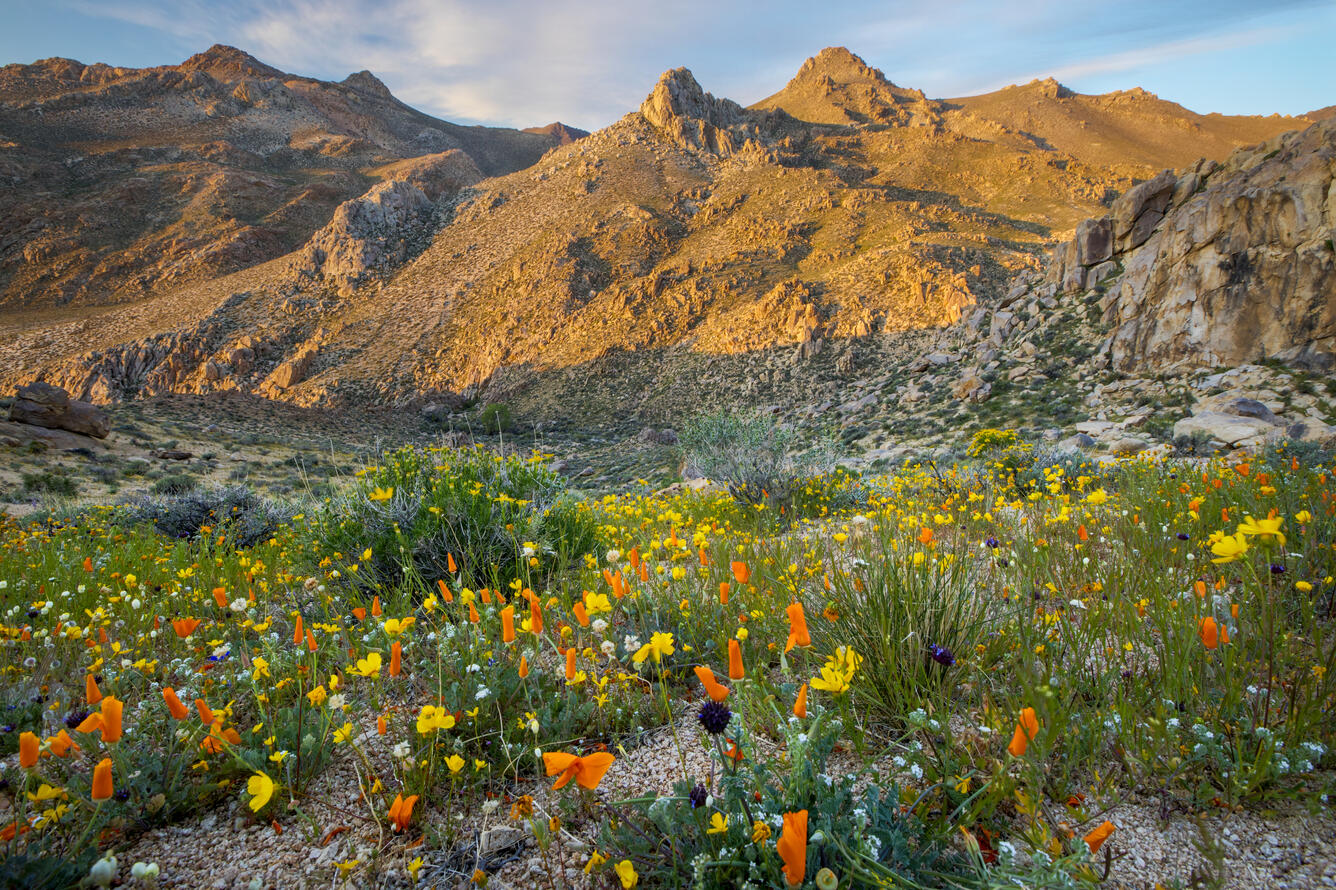
National Conservation Lands: A hub for scientific discovery
Last year marked the 25th anniversary of America’s National Conservation Lands, a group of over 900 landscapes managed by the Bureau of Land Management (BLM) for cultural, ecological, and scientific values. As part of a special edition of Park Stewardship Forum celebrating this anniversary, USGS and BLM collaborated on a piece highlighting key science opportunities on National Conservation Lands.
Twenty-five years of conservation
The National Landscape Conservation System (NCLS) was established in 2000 to conserve, protect, and restore America’s nationally significant landscapes under BLM jurisdiction.
The BLM was tasked with managing these National Conservation Lands, as they are often known, as part of the more than 245 million acres of lands that the agency manages for the public.
Since then, the system has grown remarkably through the collaboration of federal government agencies with grassroots networks like the Conservation Lands Foundation.
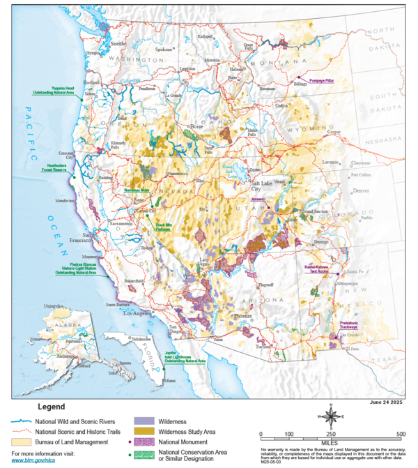
Today, the NLCS is comprised of 906 units covering more than 38 million acres, including:
- 31 National Monuments
- 25 National Conservation Areas and similar designations
- 263 Wilderness Areas
- 487 Wilderness Study Areas
- 19 National Scenic and Historic Trails totaling nearly 6,000 miles
- 81 Wild and Scenic Rivers totaling nearly 2,700 miles
Science in the NLCS
Science is an integral part of the NLCS mission, and the development of a formal science strategy in 2007 paved the way for science activities across the NLCS. In a new article, USGS and BLM collaborated to identify seven core aspects of NLCS units that provide scientific opportunities, allowing the NLCS to serve as a hub for basic and applied science that can inform natural resource management across our public lands:
- The specific scientific values for which individual NLCS units were designated
- The many other resources, objects, and values present within these landscapes
- The value of units as “control” sites for studying the effects of activities that occur commonly on other multiple-use public lands outside of the NLCS
- The value of units for studying the effects of activities such as recreation that regularly occur, and may be intensified, within NLCS units
- The high visibility of units, which draws strong interest and engagement from both scientists and the public
- The vast network of NLCS units, all managed for a similar purpose, which provides opportunities to explore cross-cutting science questions across widely varying contexts and geographies
- Opportunities to promote and apply Indigenous Knowledge to scientific research to manage natural and cultural resources
Together, these seven aspects of NLCS units position individual units and the system as a whole to serve as unique and valuable opportunities for learning, teaching, discovery, and innovation on public lands.
Continue the celebration
This article was part of a series in the Park Stewardship Forum: “BLM's National Conservation Lands: 25 Years of Partnership, Stewardship, and Recreation.”
The series provides an in-depth look into the NLCS and how BLM manages NLCS lands, with contributions from universities, tribes, Department of Interior agencies, the Conservation Lands Foundation, and more.
Related

Developing Science Plans for the Bureau of Land Management’s National Landscape Conservation System
Related