U.S. flag

An official website of the United States government

September 30, 2026

“We are working way up in the headwaters and the question we get a lot is – who cares what’s going on way up there in the woods?” U.S. Geological Survey scientist Jamie Shanley said. 

For 35 years, Shanley has conducted biogeochemistry research in Sleepers River Research Watershed (SRRW) in northern Vermont. Of the more than 150 publications to his name, over half include data and findings from Sleepers.

Headwater systems represent 70% of all stream miles but are historically the least monitored. Sleepers River Research Watershed is one of the few monitored sites that represent a headwater system, and the information gathered there significantly contributes to the knowledge base of understanding headwater systems and what they impact.

“Well — it all flows downstream,” Shanley said, answering the question. “We are trying to understand how ecosystems work by looking at a small slice of the ecosystem — mostly the chemistry and the water flow. Understanding the manner in which water and chemicals flow to the downstream environments and what sort of effects they have on downstream systems where people live is very important. Our work advises managers, farmers, and loggers about practices that will help them to preserve and maintain water quality.”

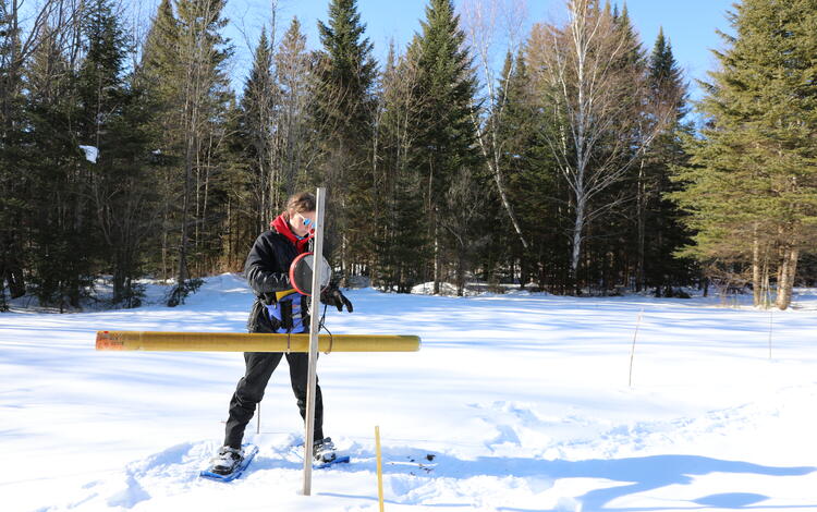
A woman in snowshoes weighing a long yellow pole in a snowy field.
Measuring Snowpack in Sleepers River Research Watershed
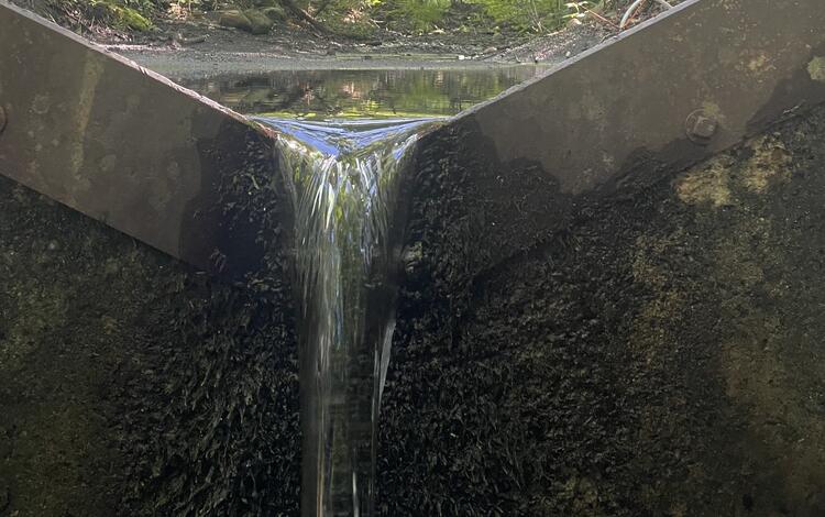
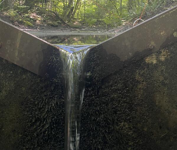
A v-notch weir in a summer forest.
A Weir on Pope's Brook Tributary in Sleepers River Research Watershed
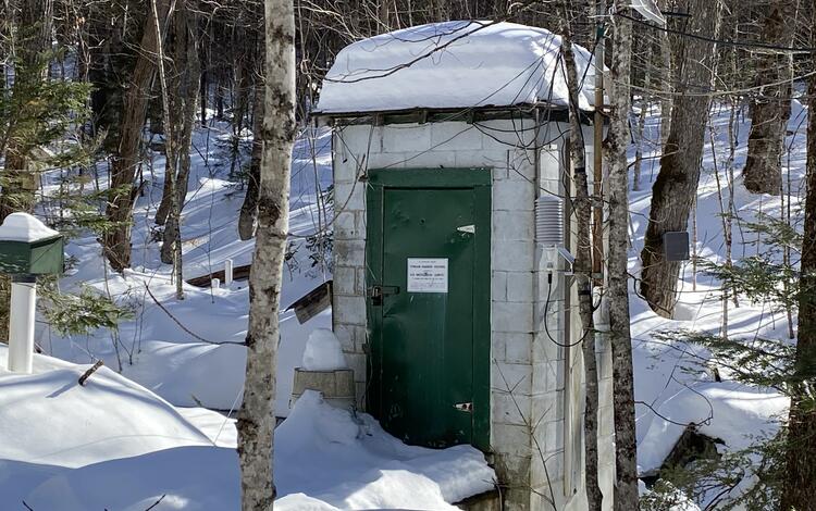
A streamgage house in a snowy, forested landscape.
Streamgage on Pope Brook Tributary in Sleepers River Watershed

Sleepers River winds through northern Vermont’s mountainous landscape of forest and farmland, with significant elevation changes from its headwaters to where it meets the Passumpsic River. This combination of a natural setting, varied topography, and some adjacent human influence make it an ideal river for studying how changing land use, temperatures, and precipitation influence water movement.

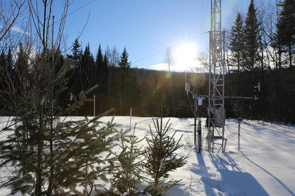
One of the longest continuously monitored watersheds in the northeastern United States, Sleepers River Research Watershed spans 43 square miles in Danville, Vermont. Launched in 1957 by the United States Department of Agriculture (USDA), the USGS has been running the research watershed since 2001. The agency first started conducting research there in 1991 working alongside the Cold Regions Research and Engineering Lab (CRREL). The SRRW has many constructed weirs, streamgages, and meteorological stations that scientists use to collect data and carry out hydrologic experiments. 

Scientific investigations at Sleepers River follow the small watershed approach, whereby scientists study a small area delimited by the drainage basin of a particular stream —known as its watershed —to understand concepts on a larger scale. By staying small, many factors, like weather and geology, remain constant so changes within the environment can be attributed to intrinsic natural processes. This approach was pioneered at the nearby Hubbard Brook Experimental Forest in New Hampshire, where the watershed is the outdoor laboratory used to explore fundamental hydrological, chemical, and biological processes. Much of the science at SRRW includes a look at groundwater dynamics, snow hydrology, runoff, carbon and nitrogen cycling, and maintaining long-term data sets of streamflow, water quality, and snow records that date back almost 70 years.

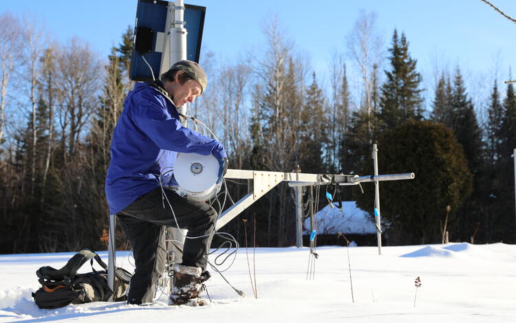
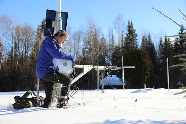
A man kneels down in the snow fixing metal equipment.
Snow Monitoring Station at Sleepers River Research Watershed
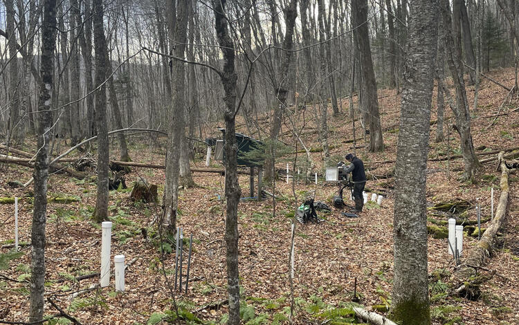
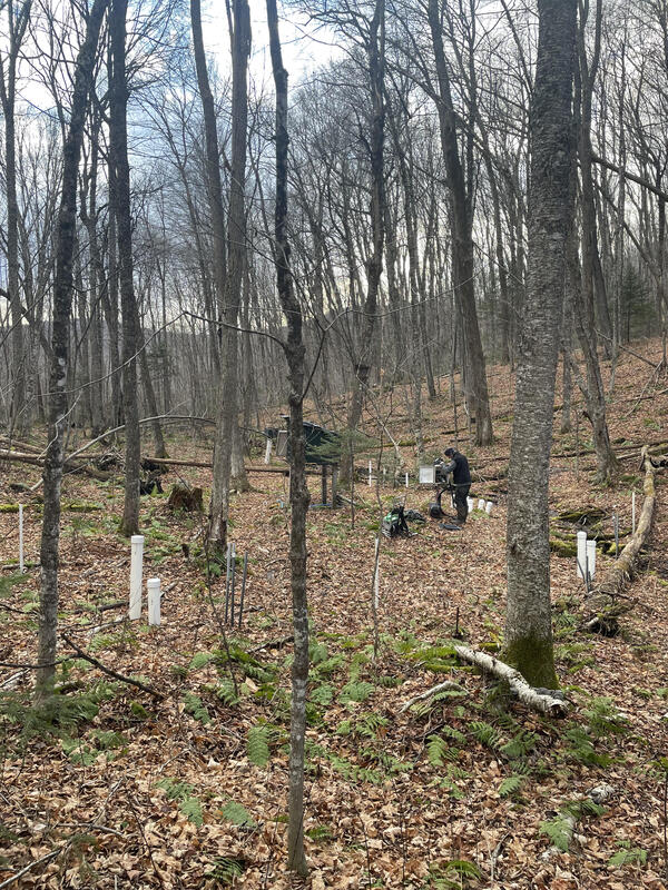
A man stands in the woods surrounded by white pipes sticking out of the ground.
Sleepers River Research Watershed Soil Data Collection
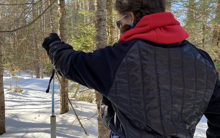
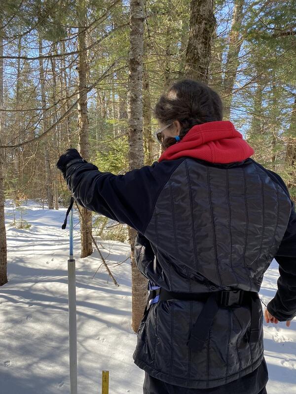
Pulling up a blue tube out of a white PVC pipe in the ground in the winter.
Measuring Soil Frost at Sleepers River Research Watershed

The Value of Long-Term Data at Headwater Sites 

While the value of monitoring is sometimes underrecognized, according to Shanley, long-term datasets gain value each year because they track environmental changes and unexpected disturbances. 

“The long-term streamflow, water quality, snow, and precipitation datasets provide immense value to those who wish to better understand environmental changes. Monitoring programs allow you to study and see how things react,” USGS hydrologist Serena Matt said. “They not only inform policy, but they also reveal when policy changes have succeeded.” 

For instance, without 30-year long-term precipitation and chemistry data sets, scientists would not have measured the distinct drop of sulfate in rainwater in the SRRW as a result of the Clean Air Act Amendments of 1990. The isolated location of Sleepers, far from any acid rain source, makes it an ideal ecosystem for study. Despite being a pristine, forested area, in the early 1990s Sleepers had high levels of sulfate in its rainwater, a characteristic of acid rain formed from air pollution miles away. Yet, after the Clean Air Act Amendments were passed, sulfate levels in Sleepers precipitation and streamwater decreased sharply, greatly reducing the threat of acid rain; a direct result of the policy changes. 

In the 1980s, scientists turned to the small watershed approach to study acid rain. In Sleepers, despite the contaminated rainfall, the streams did not become acidic because calcite in the local geology acted as a buffer against the acidification.  As a result, even though acid rain funding decreased in the 1990s, U.S. Forest Service scientists based at Hubbard Brook and university researchers, maintained an interest in Sleepers research because of the area’s alkaline geology in contrast with Hubbard Brook’s acidic watershed. 

“They want to see if the same processes are happening in Hubbard and in Sleepers because their geology is very different, and Sleepers represents a well-buffered watershed that allows scientists to see how environmental processes compare in different geologic settings,” explained Shanley.

Pollutant studies have shifted from acid rain to emerging contaminants of concern like PFAS and mercury at Sleepers and beyond. Studying global atmospheric contaminants like these in Sleepers is optimal because the area is undisturbed, there is no upstream contaminant source, and there is extensive background and baseline data for comparison or reference, such as 30 years of chloride data to evaluate effects and trends of road salt application. Having these long-term chemical data sets contextualizes new findings on emerging contaminants and how they interact with the environment. 

Furthermore, the long-term streamflow, precipitation, and snow records at Sleepers River provide added context to other research and are used by countless scientists and agencies. For example, the National Weather Service validates their model-based daily snow cover maps with the real-time snow data collected at Sleepers. These continuing records are also used to identify long-term patterns of drought, flooding, and snowpack, which are critical data sets for monitoring environmental changes. 

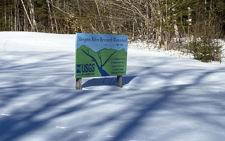
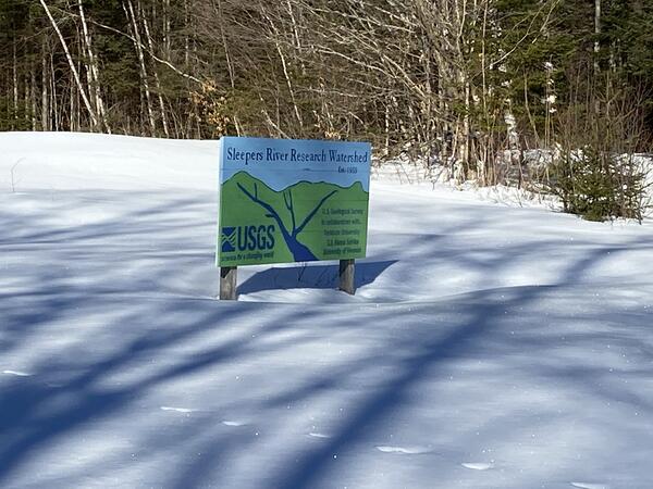
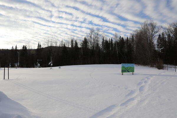
The sign of Sleepers River Research Watershed in the snow.
Sleepers River Research Watershed Sign
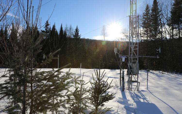
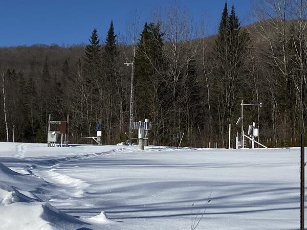
Snow monitoring equipment in a snowy field.
Snow Monitoring Equipment at Sleepers River Research Watershed
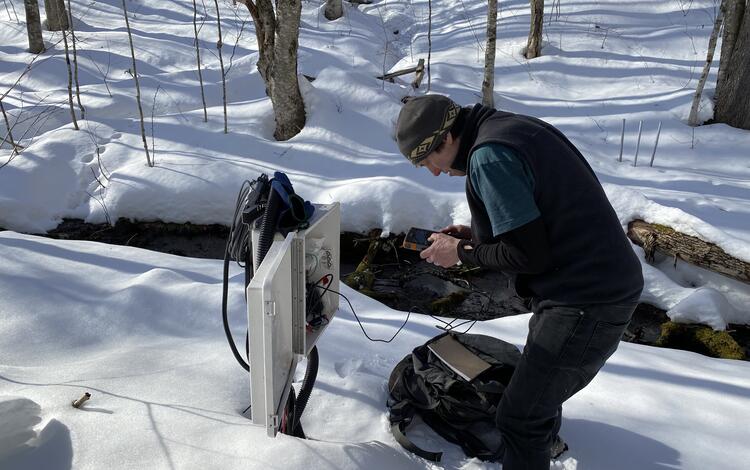
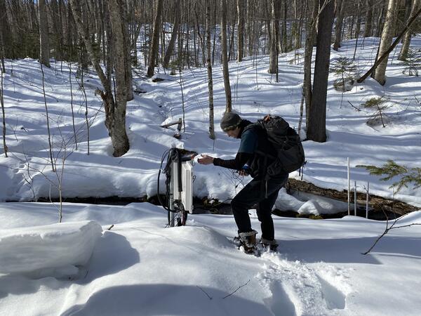
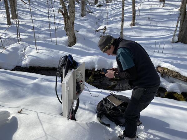
A man in the woods in the snow looks at a data logger.
Collecting Soil Data at Sleepers River Research Watershed


Scientific Innovation in Vermont’s Wilderness: A Look at Shanley’s Contribution

The research at SRRW helps the public and natural resource managers better understand water systems, groundwater recharge, and the movement of pollutants. Over Shanley’s tenure at USGS, his work at Sleepers has focused on how watersheds function and respond to environmental stressors. Using the Sleepers River watershed as the observable environment, Shanley studied water movement, carbon and nutrient cycling, contaminant transport, environmental change-driven impacts on groundwater and snow, and general hydrologic processes. 

One major contribution stemming from Shanley’s work at SRRW is the recognition of the importance of hydrologic events, such as large storms and snowmelt with rain-on-snow. These events not only produce high flows and potential flooding, they also mobilize a disproportionately large amount of sediment and chemicals. In these conditions, stream concentrations of dissolved organic carbon can increase by a factor of ten. Combined with the high volume of water flow, an enormous amount of carbon is transported downstream, presenting a challenge for water treatment plant operators working to make the water potable.

Mercury, which enters the watershed through rain, snow, and dry deposition from distant pollution sources, gloms on to this organic carbon and moves downstream where it transforms to a more toxic form and is ingested by fish; this poses a public health risk to those who consume them. 

The mercury-carbon connection underscores the value of both high-frequency sensor and long-term data available at Sleepers,” said USGS hydrologist Ami Riscassi, who has collaborated extensively on mercury research with Shanley. “Mercury, which is expensive to monitor, was measured over short and intermittent projects, but the long-term, more continuous organic carbon record from in-situ sensors provides a strong proxy from which to determine accurate downstream loads and infer the long-term mercury trend.”

***

The unique landscape of Sleepers River Research Watershed is a foundational backdrop for ecological, biogeochemical, meteorological, and hydrological science. While Shanley is retiring from the USGS in 2026, his expansive research at Sleepers River Research Watershed will continue to inform other scientists’ studies for years to come.

Was this page helpful?