Drought Conditions Expand in Northern New England
A large portion of the state of Maine and all of Vermont and New Hampshire are currently experiencing a “flash drought.” The onset of drought conditions come after weeks of little precipitation and high temperatures.
USGS streamflow and groundwater data are used in the National Integrated Drought Information System (NIDIS), a multi-agency partnership within the National Oceanic and Atmospheric Administration (NOAA) that coordinates drought monitoring, forecasting, planning and information. NIDIS compiles multi-agency data into accessible maps, called the U.S. Drought Monitor, that categorize the level of drought occurring in a particular part of the country by certain stage (water height) and streamflow levels.
As of August 28, according to the U.S. Drought Monitor, drought conditions are occurring within approximately 86% of New Hampshire; 63% of Maine; 53% of Vermont; and 15% of Massachusetts, with Connecticut and Rhode Island still only experiencing “abnormally dry conditions” in parts of the state.
The USGS streamgaging network delivers continuous streamflow and groundwater level data to help water and emergency managers and other decision makers protect life and mitigate loss of agriculture during a drought event.
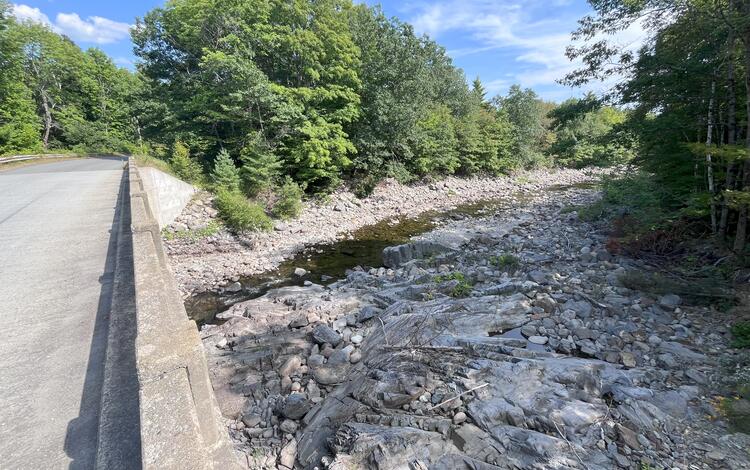
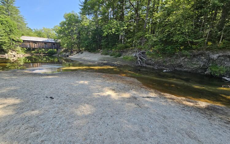
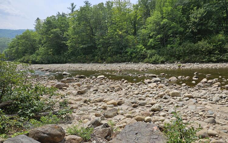
Since streamflow levels began to drop in the beginning of August, hydrologic technicians at the USGS New England Water Science Center are taking additional measurements at streamgages to verify that the real-time data being captured is correct and to validate extreme low flows.
On August 25, 30 streamgages with long-term record across New England recorded the lowest streamflow levels ever measured on that date, and in New Hampshire and Vermont, three streamgages measured streamflow of zero. One of the 30 streamgages recording the lowest streamflow is a 122-year-old gage located on Otter Creek in Middlebury, Vermont, according to USGS Supervisory Hydrologic Technician Richard Kiah.
“Staff are monitoring real-time data and looking for streamgages that have dropped below what we've measured already this year or looking for stations that have special situations that require the stage-discharge relationship to be confirmed as flows drop,” said USGS Supervisory Physical Scientist Nick Stasulis. “These [abnormalities in the data] could be due to large shifts in the base rating, aquatic growth, or debris on the control.”
As drought conditions persist, USGS will continue to monitor streamgage measurements and collect verification data to ensure gage height and streamflow are accurate.
Groundwater levels are starting to show signs of decreasing, particularly groundwater that is shallow, or closer to the land surface. Staff are identifying the real-time groundwater wells that are recording the lowest numbers and are visiting those wells to verify the measurements as well.
For more information on drought in the region, visit our New England Drought Information Page.
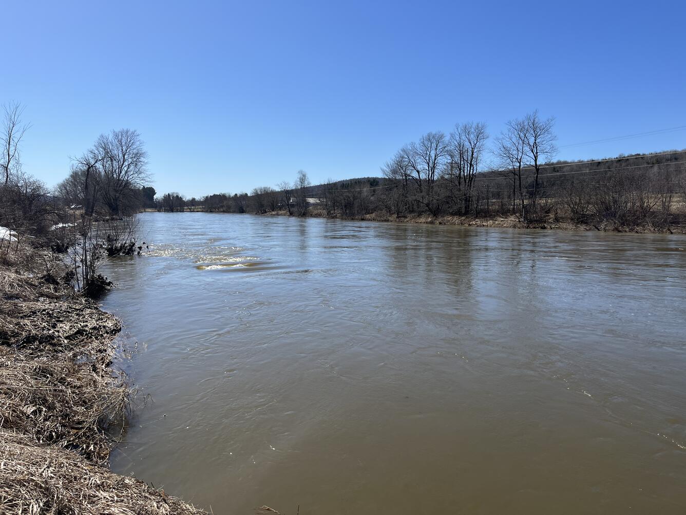
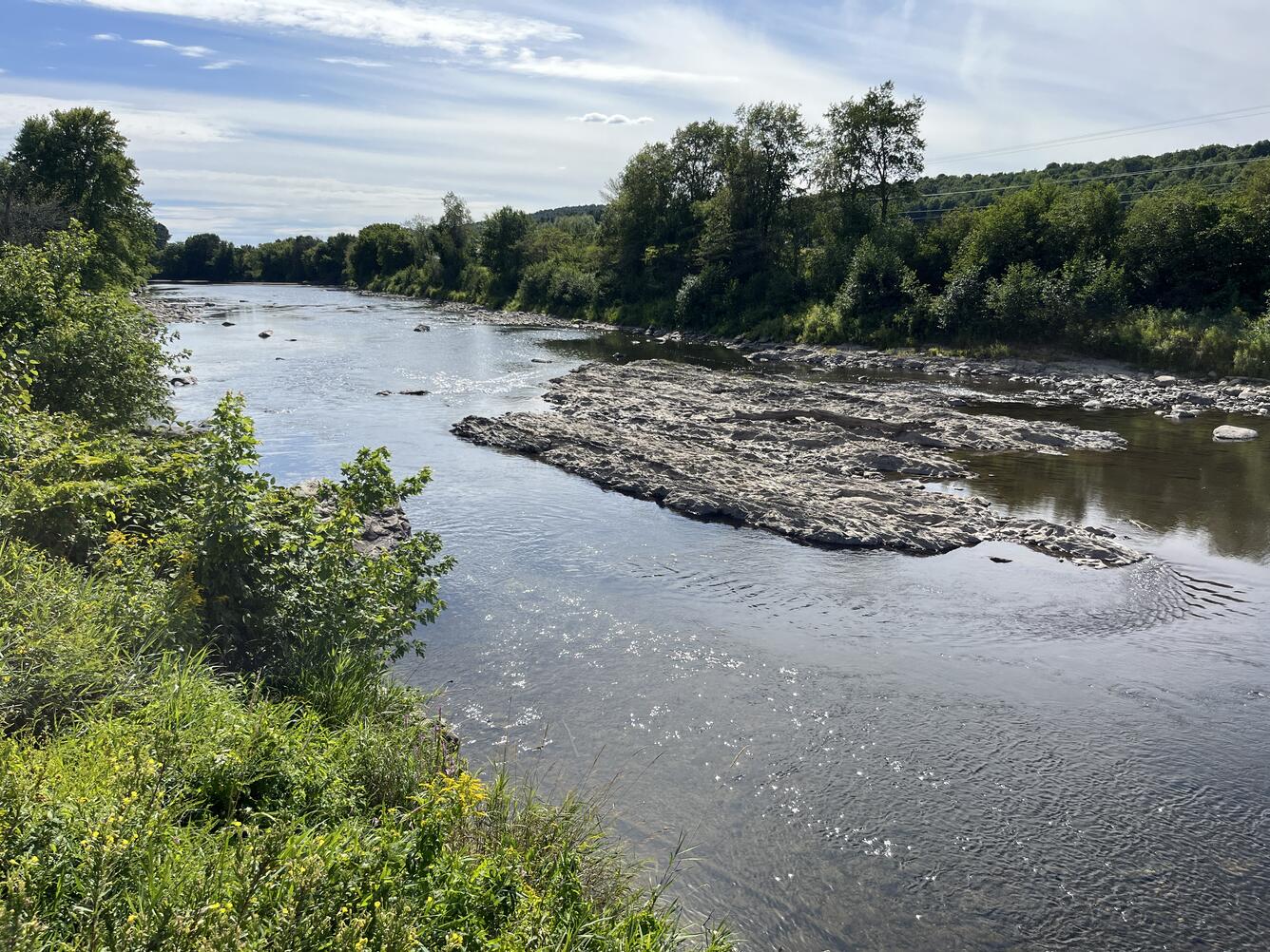
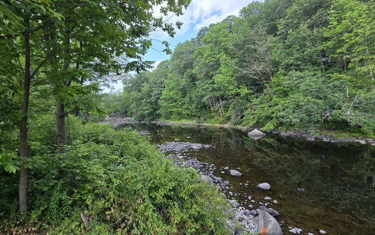
A view of the Missisquoi River from the perspective of streamgage 04293500 in East Berkshire, Vermont, experiencing high streamflow in March 2025 and during a period of dry conditions in August 2025.