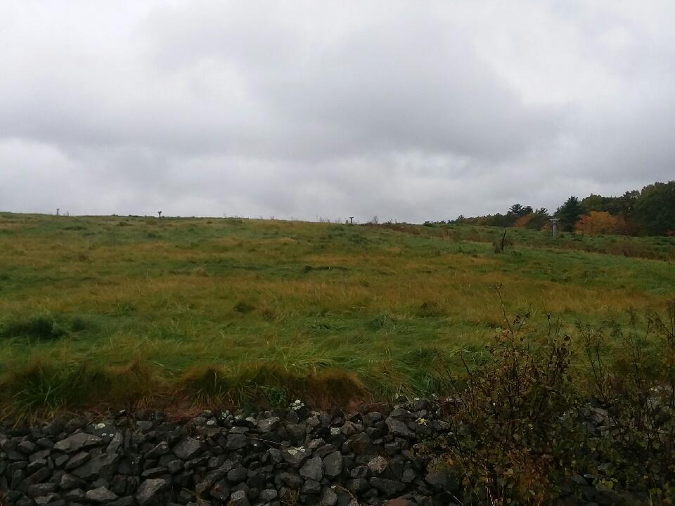
USGS Investigates PFAS in Groundwater Near New Hampshire Superfund Site
The U.S. Geological Survey (USGS) and the U.S. Environmental Protection Agency (EPA) investigated the movement of groundwater around the Coakley Landfill Superfund Site in southeastern New Hampshire after high concentrations of per-and polyfluorinated alkyl substances (PFAS) were found in areas where residents use wells for drinking water.
The groundwater flow model results from this study show that groundwater flow paths can be used by local, state, and federal entities as a tool for decision making about the transport of contaminants, such as PFAS, and potential mitigation strategies. Because this model considers local and regional geologic complexity, it can help decision-makers develop targeted rather than blanket approaches.
Located in North Hampton and Greenland, the Coakley Landfill was active for a decade before being added to the EPA's Superfund National Priorities List as a contaminated site prioritized for long-term remediation in 1983. Exposure to high levels of PFAS, a group of manmade chemicals, may adversely affect human health, according to the EPA. Therefore, understanding where the PFAS could move once it enters the groundwater is vitally important to nearby residents. So, the USGS developed a groundwater flow model simulating groundwater movement within the region's complex geology to determine why concentrations of contaminants, such as PFAS, are high in some places and low in others.
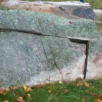
"Groundwater flow is much more complex in fractured bedrock than it is in soil," said USGS physical scientist and co-author Andrew Collins. "Because the bedrock is relatively shallow in the area around the landfill, certain assumptions normally made when modeling groundwater movement would not work here. So, we collaborated with EPA to develop a groundwater model that accounts for these complexities."
Researchers found that the structural features in the bedrock around the landfill cause the groundwater to mostly flow northeast and west. This finding indicates that water supply wells and streams or lakes located to the south and east of the landfill are less likely to be affected by any leaching contaminant from the site, including PFAS. They also found that several groundwater flow paths from the landfill connect to streams up to 3 miles away; this finding could explain the presence of PFAS in some wells far from the landfill site.
The groundwater model incorporated new data from the bedrock aquifer where the most contamination was measured and tracks the groundwater flow paths from the landfill to various features such as water supply wells, streams, and lakes. With this model, scientists can estimate groundwater movement from the landfill and how it is affected by bedrock fractures and infiltration of rain or snow melt.
Accurately representing the complex geology of the area's loose soil and connected fractured bedrock in this model was essential in producing accurate groundwater flow paths, and this method can be replicated in similar investigations. Researchers found that fracture density and orientation were major factors for how groundwater moved through bedrock aquifers in the area around the landfill.
"Special attention should be paid to bedrock characteristics when making critical decisions about water resources — contaminated or not — in regions with shallow soils," said Collins.