USGS Response to April 2026 Michigan and Wisconsin Floods
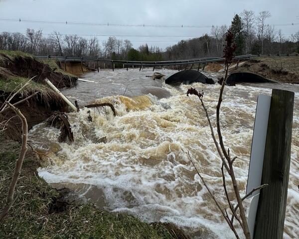
In mid-to late April 2026, Michigan and Wisconsin faced one of the wettest springs on record, as rapid snowmelt combined with sustained, record‑breaking rainfall produced widespread flooding across rivers and streams.
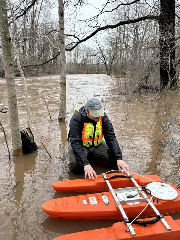
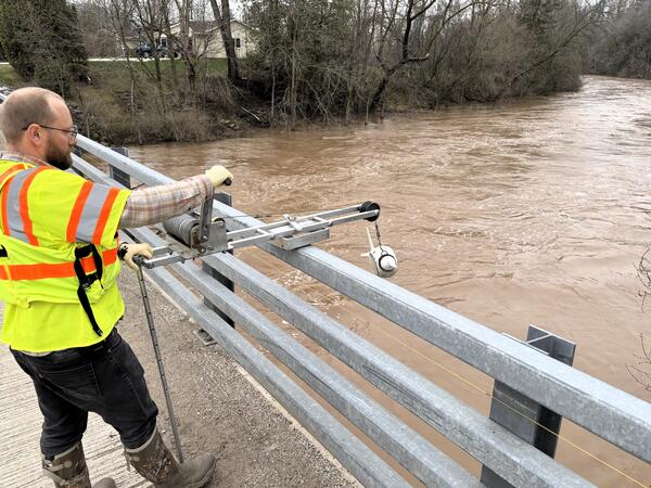
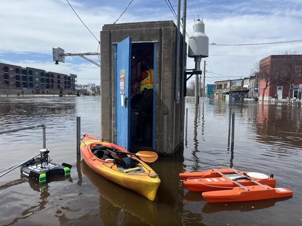
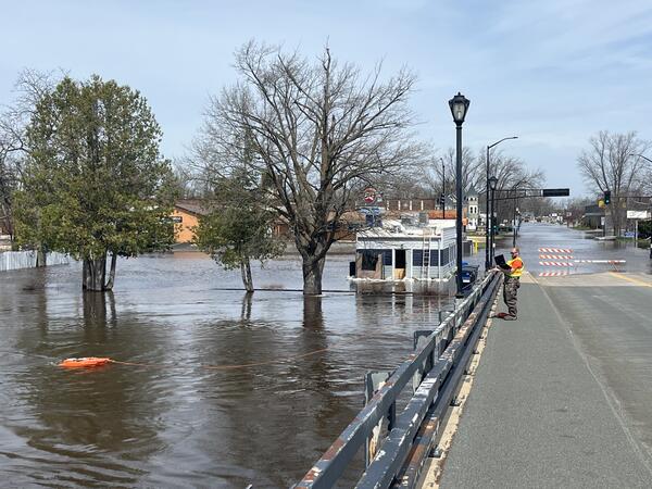
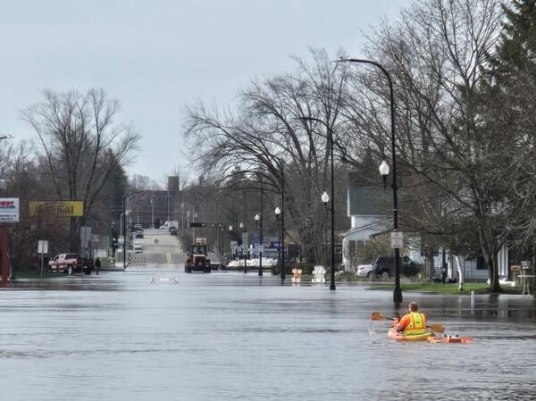
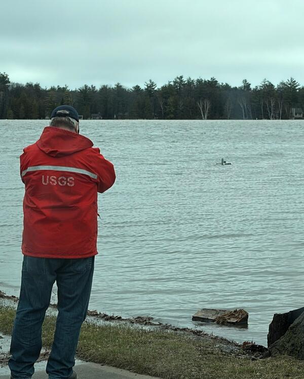
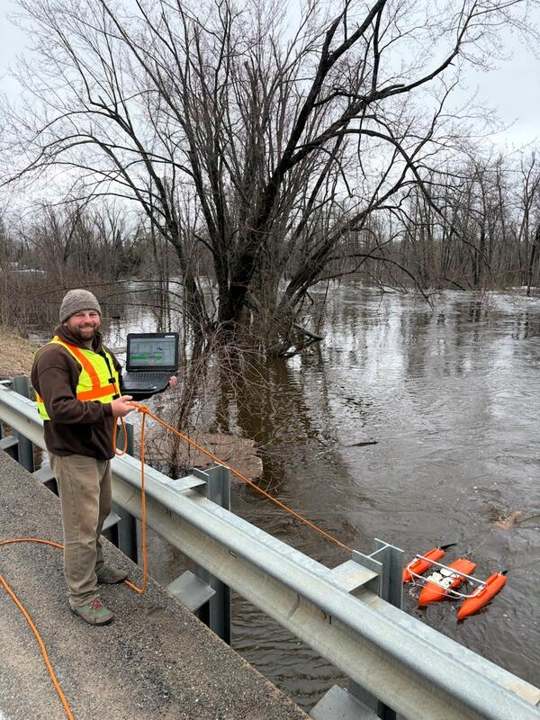
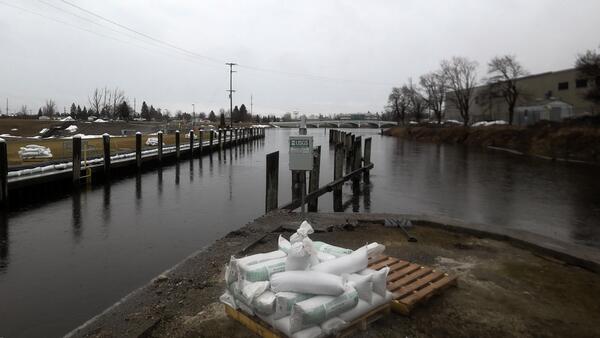
As soon as conditions allowed, USGS field specialists mobilized to assess impacts on stream conditions and critical monitoring infrastructure. By late April, teams had completed 110 site visits in Michigan and 167 in Wisconsin, performing high‑water streamflow measurements at flooded monitoring sites and evaluating storm‑related damage to equipment.
Despite the severity of the event, only three streamgages in Michigan and one in Wisconsin were destroyed, and all were quickly repaired and restored, ensuring uninterrupted delivery of real‑time water data relied upon by emergency managers, local partners, and the public.
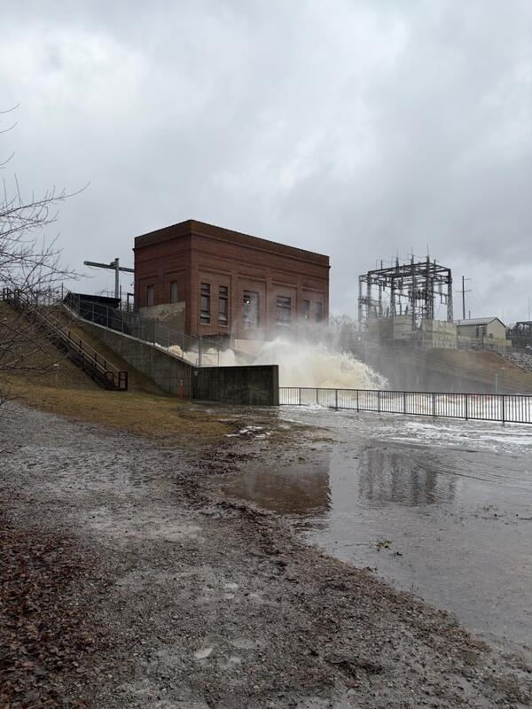
USGS crews also installed a rapid‑deployment gage near a potentially failing dam in Cheboygan, Michigan, providing essential safety monitoring during a period of heightened risk. In addition, teams completed numerous high‑water‑mark assessments to support indirect discharge measurements, helping characterize the full magnitude of the flood.
This work enabled hydrologic technicians to update rating curves, the relationship between stream stage and discharge, at several sites, improving the accuracy of ongoing flood monitoring.
Preliminary results show that 29 streamgages (22 in Michigan, seven in Wisconsin) recorded new maximum gage heights and/or flows, surpassing all previously measured values. Another 48 streamgages recorded flows ranking among their top five highest ever. Major rivers reaching record crests included:
- Michigan: Grand, Muskegon, Au Sable, Manistee, and Cheboygan rivers
- Wisconsin: Wolf River, Menominee River (WI–MI border), and the Wisconsin River at Portage
This coordinated response underscores the expertise, preparedness, and commitment of USGS scientists and technicians. Their rapid fieldwork provided the National Weather Service with critical, on‑demand data and delivered the timely, reliable hydrologic information needed to support public safety and informed decision‑making across the region.
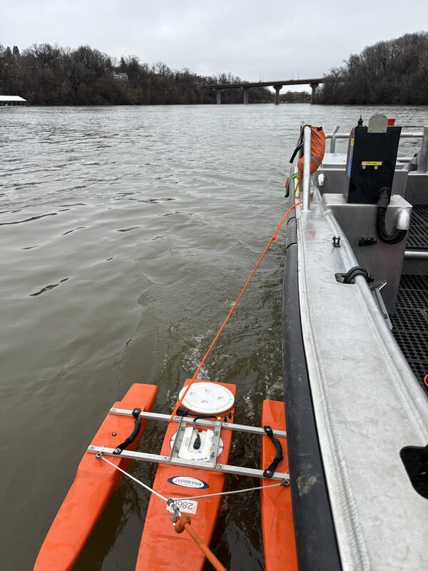
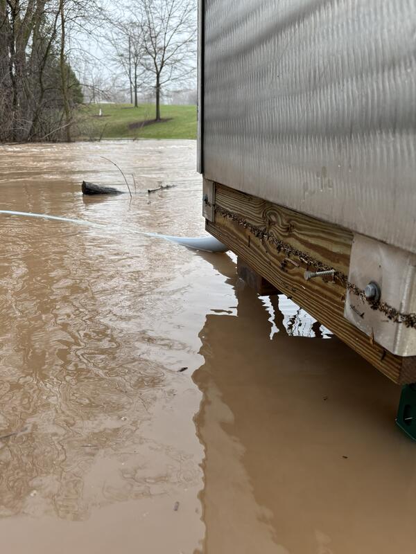
Photos from the field
Michigan
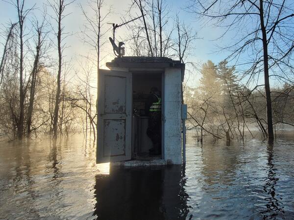
Wisconsin