
Golden State Reflections
Klamath River
Golden State Reflections
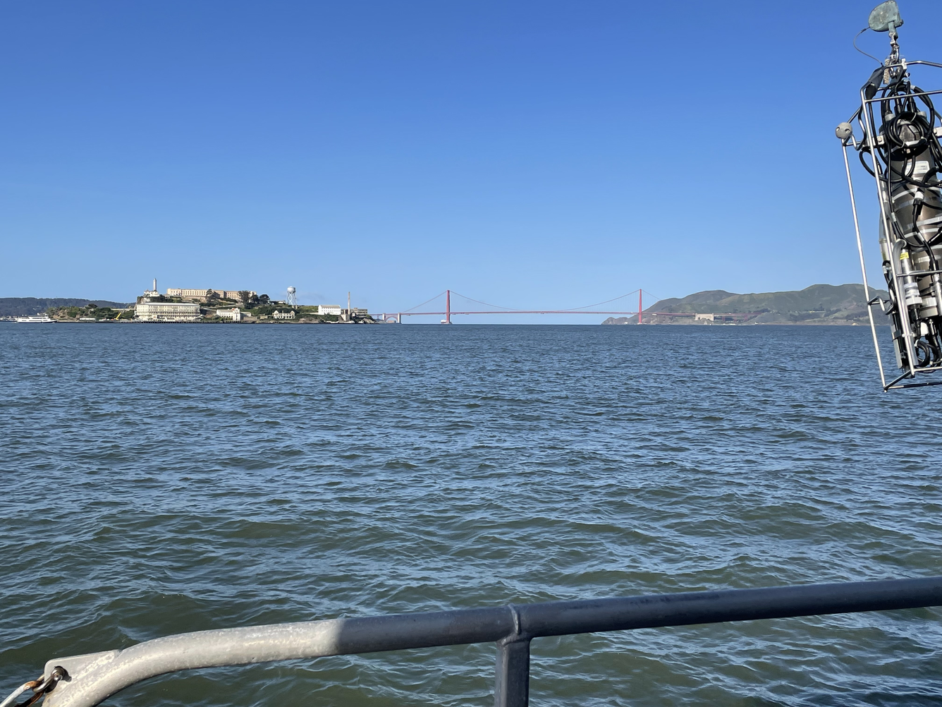
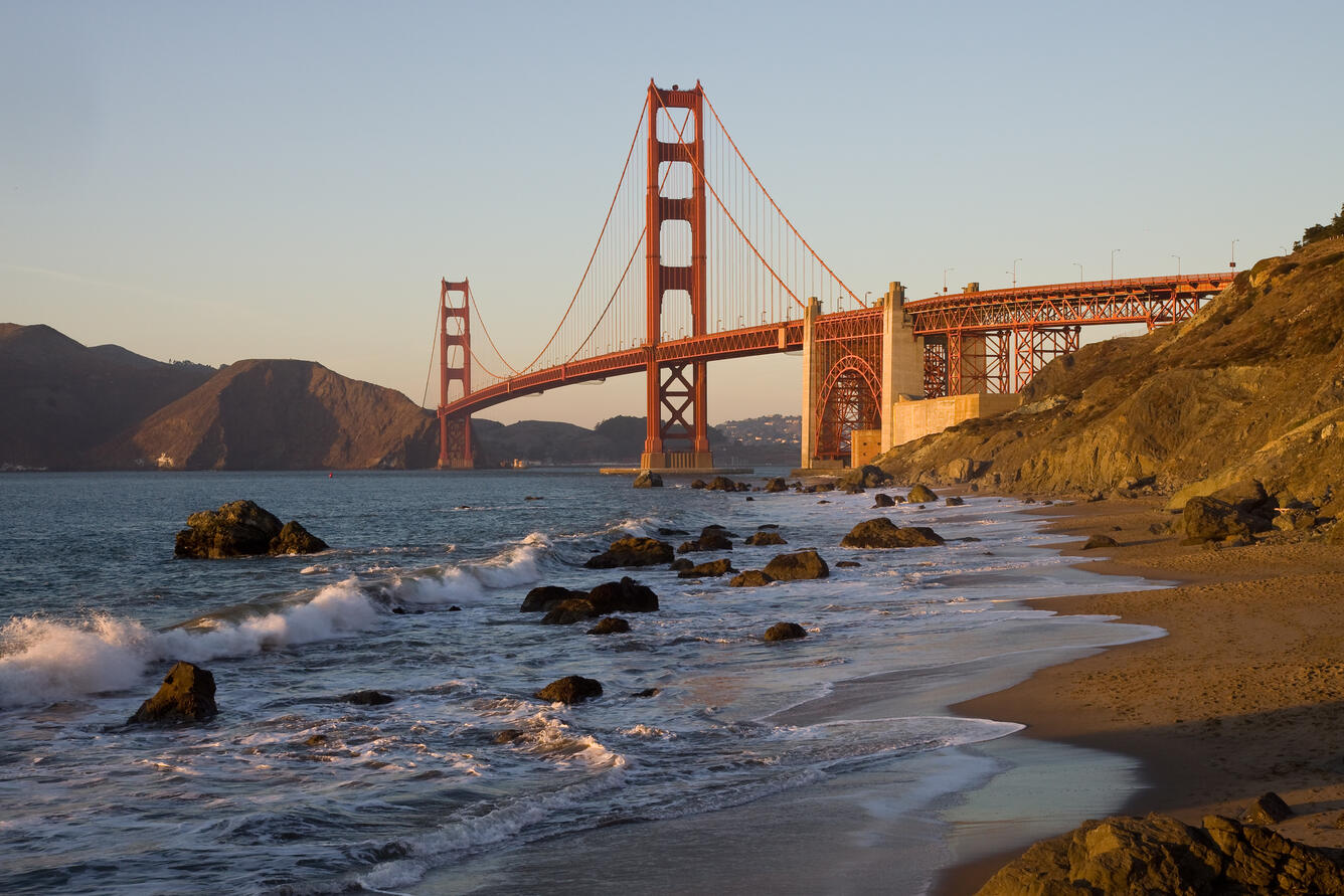
San Francisco Bay
Golden State Reflections
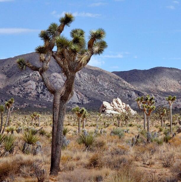
Mojave Desert
Golden State Reflections
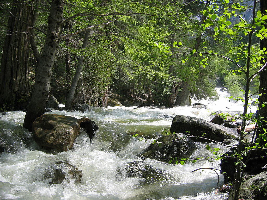
High Sierra
Golden State Reflections
Central Valley
The California Water Science Center delivers impartial science and continuous data that help communities meet today’s water challenges: from surface water, groundwater, and aquatic habitats to natural hazards and water quality. Using real-time visualizations and forecast models, we support many partners to strengthen resilience, stewardship, and informed decision-making statewide.
Innovative Science for the Bay-Delta: Linking Water, Ecosystems, and Communities
The San Francisco Bay/Sacramento–San Joaquin Delta (Bay-Delta) is both the hub of California’s water supply and one of its most fragile ecosystems. The California Water Science Center (CAWSC) plays a central role in advancing innovative science to understand and manage this system, where changes in flows, salinity, and sediment ripple across agriculture, drinking water quality, and the survival of native species.
CAWSC’s work in the Bay-Delta is grounded in decades of sustained observation, with data collection in the system dating back to the late 1960s, when USGS scientists established some of the region’s earliest baseline continuous records.
Nearly 50 real-time monitoring stations, including “super sites” measuring up to 10 parameters simultaneously, provide continuous data on flow and water quality, while high-resolution boat-based surveys map conditions across the Bay Delta. Early boat-based monitoring aboard the Research Vessel Polaris (R/V Polaris) helped collect these foundational measurements, a tradition that continues today with the Research Vessel Peterson (R/V Peterson), which supports high-resolution sampling across the Bay-Delta. This integrated, interdisciplinary approach, commonly referred to as “physics to fish,” examines how physical processes relate to the biological components of ecosystems, helping agencies anticipate and manage stressors.
In addition to physical monitoring, CAWSC has a long history of pesticide research in the Bay-Delta, examining how agricultural and urban chemicals move through, persist in, and affect aquatic ecosystems over time. This approach also includes targeted studies that deepen understanding of nutrients, phytoplankton dynamics, and related water-quality processes across the Bay Delta.

CAWSC also tracks harmful algal blooms by monitoring phytoplankton, cyanotoxins, and related conditions, giving managers tools to respond to emerging public health and ecological risks. CAWSC has also led extensive sediment research in the Bay-Delta, improving understanding of sediment transport, turbidity, and their influence on habitat conditions and water quality. By coupling long-term monitoring with targeted studies, CAWSC provides impartial, interdisciplinary science that federal, state, and regional partners depend on for water-supply operations, restoration, and planning. This work ensures that decisions about the Bay-Delta are guided by continuous, trustworthy data in service of California’s people and environment.
Integrated Science for California’s Groundwater Future
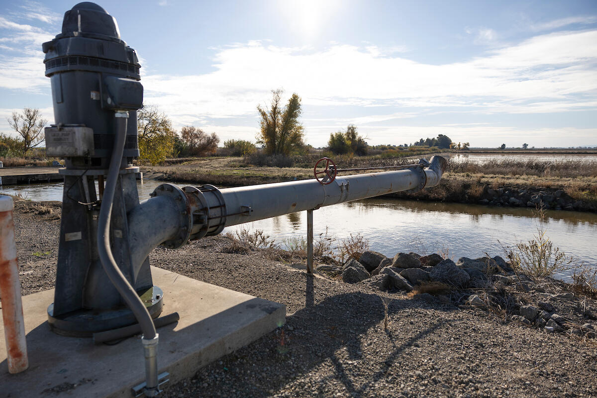
Groundwater is California’s hidden lifeline, supplying drinking water, sustaining agriculture, and supporting industry. Yet in many places, demand outpaces natural replenishment, leading to declining water levels, dry wells, land subsidence, and degraded water quality. The California Water Science Center (CAWSC) takes an integrated scientific approach to address these challenges by combining aquifer characterization, research drilling, long-term monitoring, and predictive modeling to provide independent data and insights.
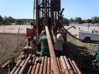
CAWSC characterizes aquifer systems to reveal how they function and respond to drought and pumping. Research drilling yields geologic samples and geophysical data that sharpen groundwater models. Monitoring networks track levels and contaminants over time, documenting long-term changes in storage and quality. These datasets feed predictive models that explore “what-if” scenarios of future water availability and use. Users can further explore basin conditions through our interactive Mojave River data visualization, which displays groundwater levels, streamflow data, and other hydrologic information in a map-based format.
Together, this work provides decision-makers with objective information to plan for a sustainable groundwater future. Through cooperative agreements with federal, state, and local partners, CAWSC delivers science that supports groundwater management, land-use planning, and infrastructure resilience, working towards the goal of California’s aquifers remaining a dependable resource for generations.
California’s Hydrologic Data Networks: Reliable Science for Safety and Resilience
The California Water Science Center operates one of the nation’s most extensive hydrologic monitoring networks, providing continuous, impartial data that is necessary for protecting public health, safety, and the economy. California’s highly variable hydrology, marked by extreme droughts, floods, aquifer declines, and complex water rights, benefits from trustworthy science to guide decisions. Our networks deliver near real-time data for flood forecasting, drought response, water operations, and the protection of aquatic species and habitats. Using innovative tools such as drones, advanced sensors, boat-based surveys, and soil moisture networks, we capture conditions across diverse landscapes and transmit them rapidly.
This work directly informs USGS scientific research. A recent study examining how intense rainfall interacted with the 2022 McKinney Fire burn scar in the Klamath River Basin, demonstrates how these monitoring networks translate real-time data into scientifically grounded insight during extreme events.
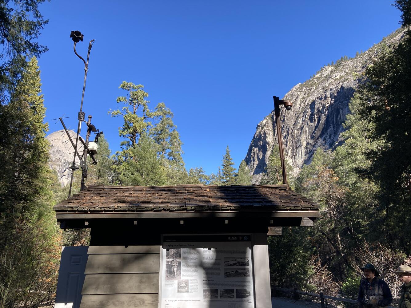
At the core of this work are more than 500 streamgages and hundreds of groundwater wells and water-quality sites across California. These gages provide the continuous records needed to detect long-term trends and issue timely warnings during emergencies. One well-known example is the Happy Isles gage in Yosemite National Park, which has measured flows on the Merced River for decades. Its records are vital not only for flood preparedness in the park and downstream communities, but also for understanding ecosystem dynamics in one of California’s most treasured landscapes.
From long-term monitoring networks to targeted field studies, CAWSC delivers reliable science that strengthens water infrastructure and helps communities anticipate and respond to changing conditions. By pairing decades of data with advanced tools and interdisciplinary expertise, our work informs decisions that protect lives, property, water supplies, and other critical national resources.