
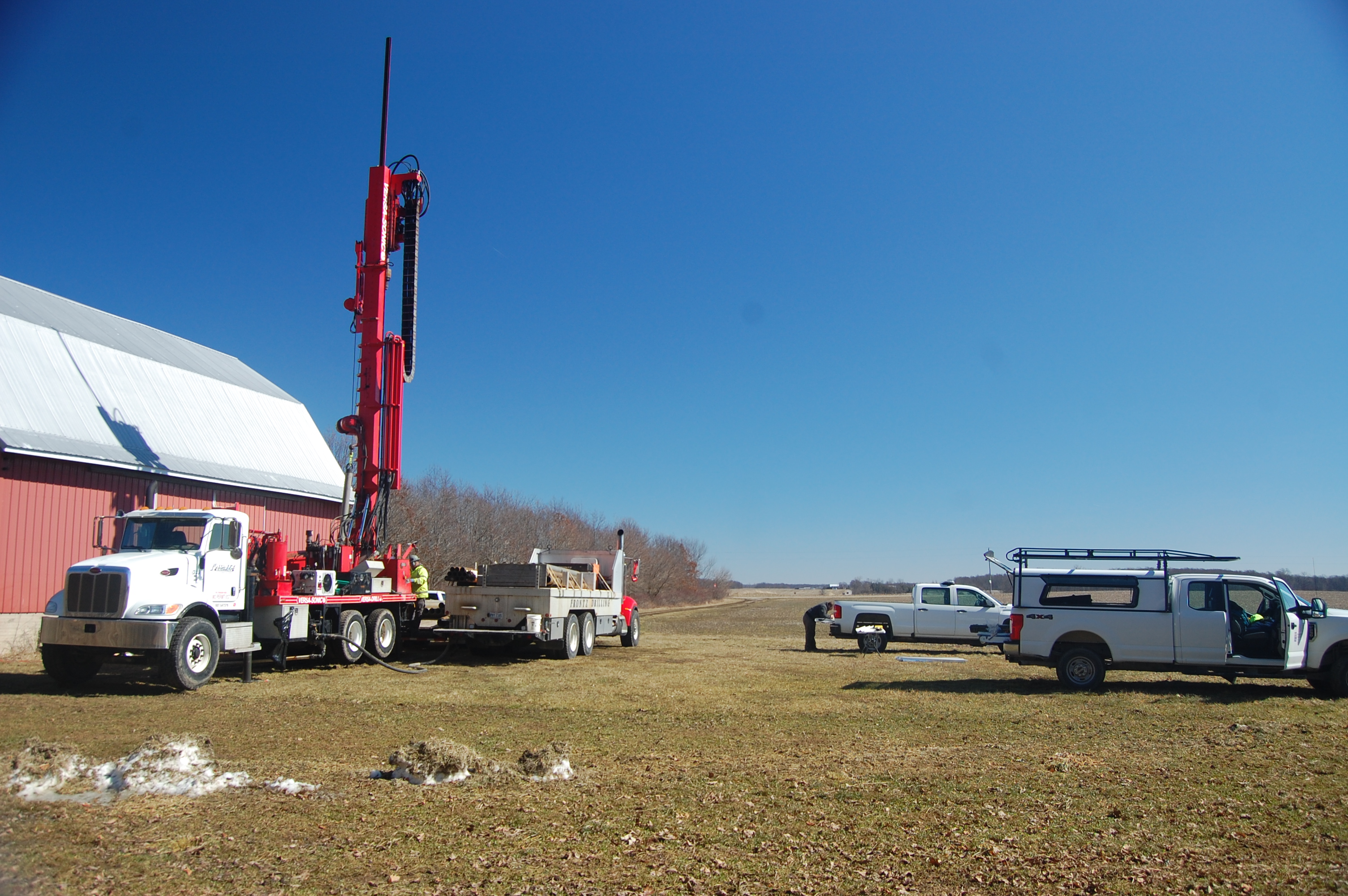
Field photo of core drilling collaboration project between Indiana and Ohio
By National Cooperative Geologic Mapping Program
2021 (approx.)

Detailed Description
This is a field photo of geologists from the Indiana Geological and Water Survey and Ohio Geological Survey conducting core drilling of glacial sediments. The information gained from this project aided in the development of a bedrock topography map of a buried ancient river bed.
Sources/Usage
Public Domain.
Photo from the Indiana Geological and Water Survey.