
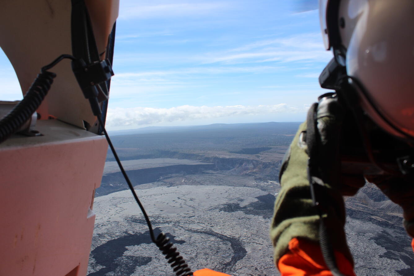
July 24, 2025 — HVO scientist collects data during summit overflight of Kīlauea volcano
Detailed Description
A USGS Hawaiian Volcano Observatory scientist takes a series of photos at a constant angle and zoom during a summit overflight of Kīlauea volcano. These images are then processed using structure-from-motion photogrammetry methods to construct a new digital elevation model of the summit. Scientists use this data to track how the Halema‘uma‘u crater floor is rising and to measure the volume of lava erupted during eruptive episodes. USGS photo by A. Ellis.
Sources/Usage
Public Domain.