
Tidal Elevation Surveys
Detailed Description
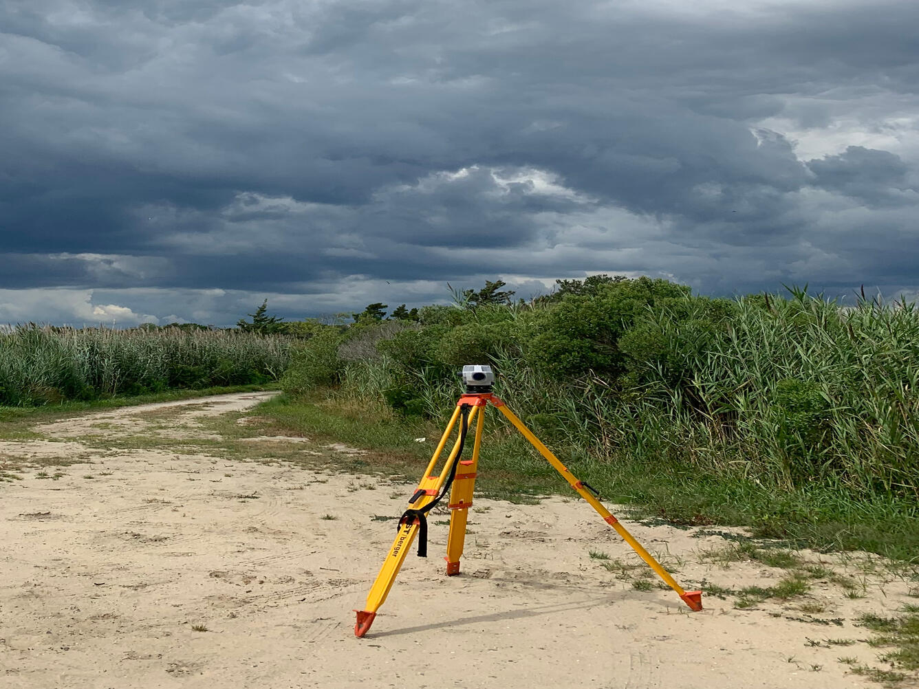
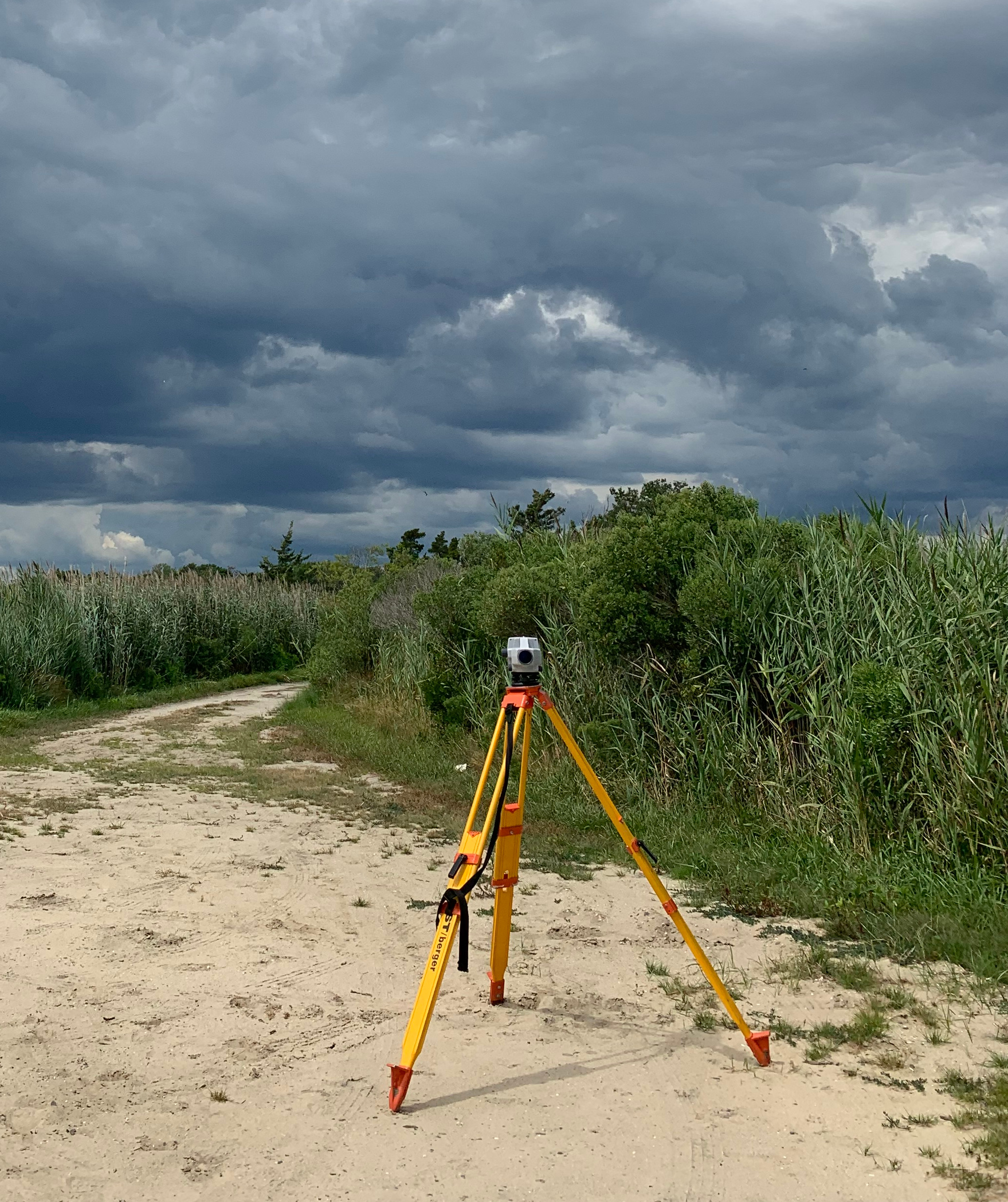
Survey level transit at USGS 01409124 Barnegat Bay at Waretown, New Jersey tide gage site
To ensure accurate readings of tidal elevation for our gages, levels are run annually from deep rods, known and stabilized points surveyed from the National Spatial Reference System, to reference marks established near our gages. These reference marks are then used to set the elevations for our gages to ensure the most up-to-date elevation information is obtained. With known elevations for our sensors, along with an offset distance unique to that sensor, we can get a tidal elevation relative to a particular coordinate system – NAVD88 in our case.
Sources/Usage
Public Domain.
Related

New Jersey Tide Network
The USGS operates the most extensive network of tide-gaging stations in the region, many of which form the backbone of flood-warning and storm-hazard warning systems. The New Jersey Water Science Center monitors data for estuary and back-bay areas all along the New Jersey coast and links to related projects with more information about coastal flood hazards, water quality, and other topics. This...
Related
New Jersey Tide Network
The USGS operates the most extensive network of tide-gaging stations in the region, many of which form the backbone of flood-warning and storm-hazard warning systems. The New Jersey Water Science Center monitors data for estuary and back-bay areas all along the New Jersey coast and links to related projects with more information about coastal flood hazards, water quality, and other topics. This...