
New 3D Elevation Program Fact Sheet for Louisiana
Learn about 3D Elevation Program (3DEP) lidar data for Louisiana in the new fact sheet -
The 3D Elevation Program - Supporting Louisiana's Economy
“3DEP data have become an industry standard as the program continuously adapts to technological improvements. The USGS meritoriously manages the program with numerous partner agencies within its existing authority.”
—Lynn E. Dupont, Principal Planner/GIS Manager for The Regional Planning Commission for the Southeast Louisiana Parishes of Greater New Orleans
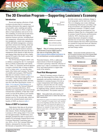
Louisiana's unique relationship with the Mississippi River Delta and role as a transportation hub for the Nation make high-resolution elevation data critical to the State's economy. State and local governments, including academic and nongovernmental organizations, require this data to make informed decisions on flood risk mitigation, infrastructure and construction management, and more.
Quality level 2 or better lidar is in progress or available across the State as a result of partnership with the U.S. Geological Survey through the 3D Elevation Program.
Download the new 3DEP State Fact Sheet to learn about available lidar and the many beneficial uses of the data. You can access the fact sheet through the linked button above and at the USGS publication page. Fact sheets for other states are also available in the 3DEP State Fact Sheet repository.
To view and access 3DEP lidar data, please visit the USGS LidarExplorer. To download these and other National Map products, please visit The National Map Downloader.