
Maps
Maps related to the National Water Quality Laboratory.
Denver Area Map
Denver Area Map

Driving Directions
Pena Blvd 8.5 miles to I-70 West
I-70 West 9.5 miles to I-25 South
I-25 South 4.0 miles to 6th Ave. West
West on 6th Ave 4.5 miles to Kipling St. South
South on Kipling St. 1.0 mile to Federal Center Gate 1
All mileages are approximate
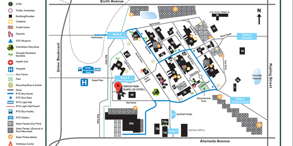
Denver Federal Center Map
Denver Federal Center Map
Click here to view the Denver Federal Center - Building 95 - NWQL